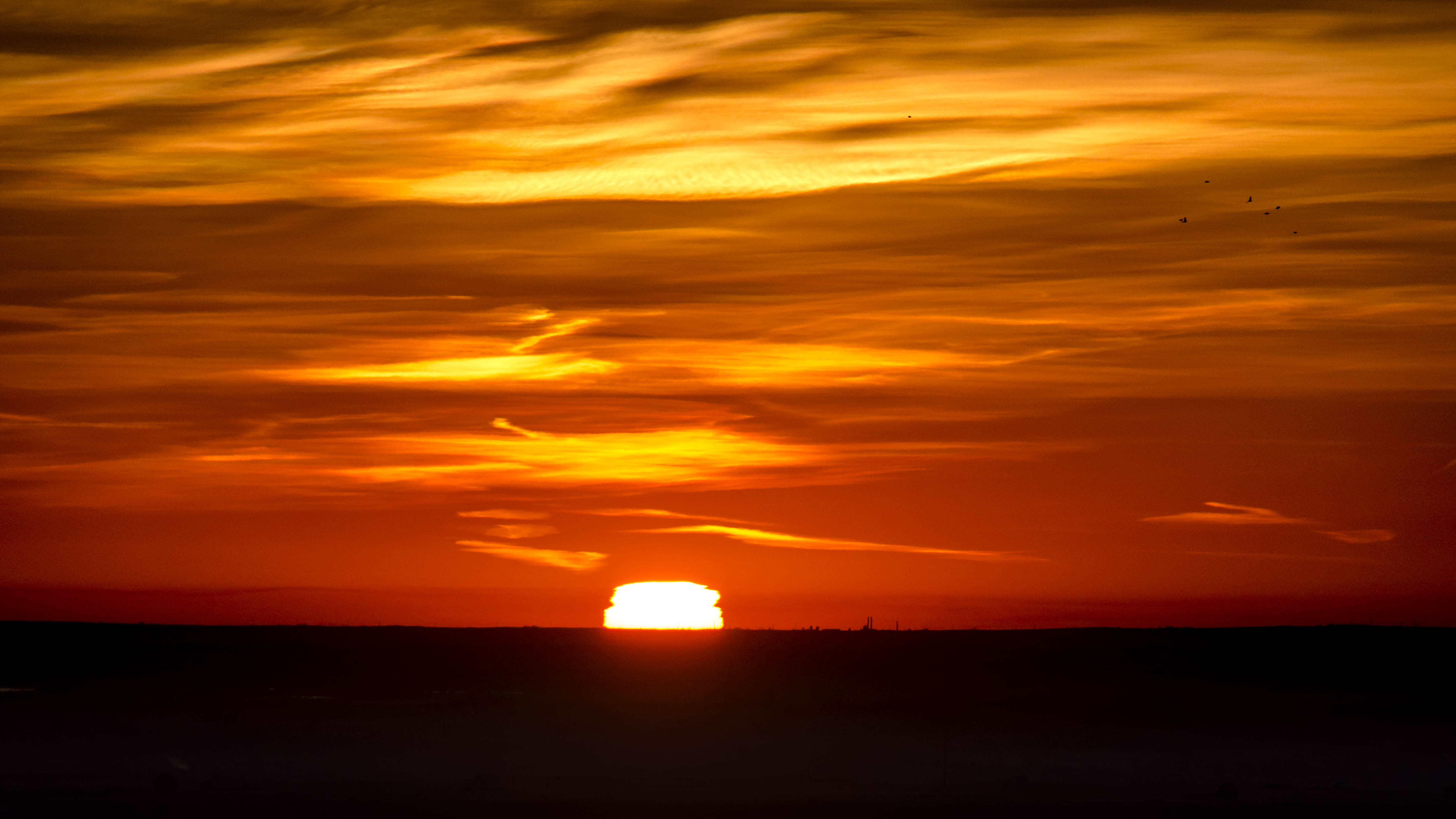
This past Thursday was likely going to be the best soaring day of the week. Still, I wasn’t sure whether it would be a great day or merely a good day.
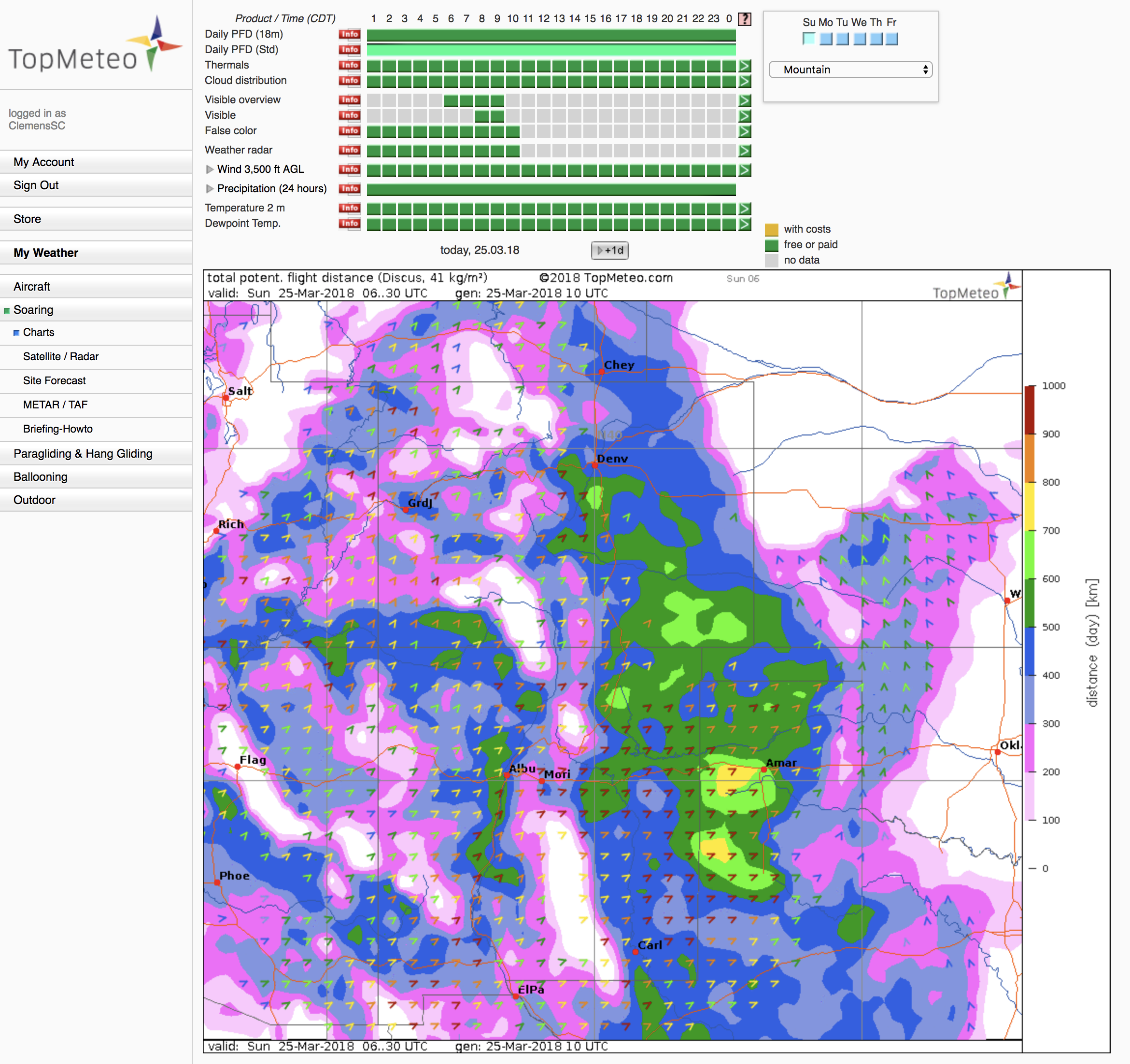
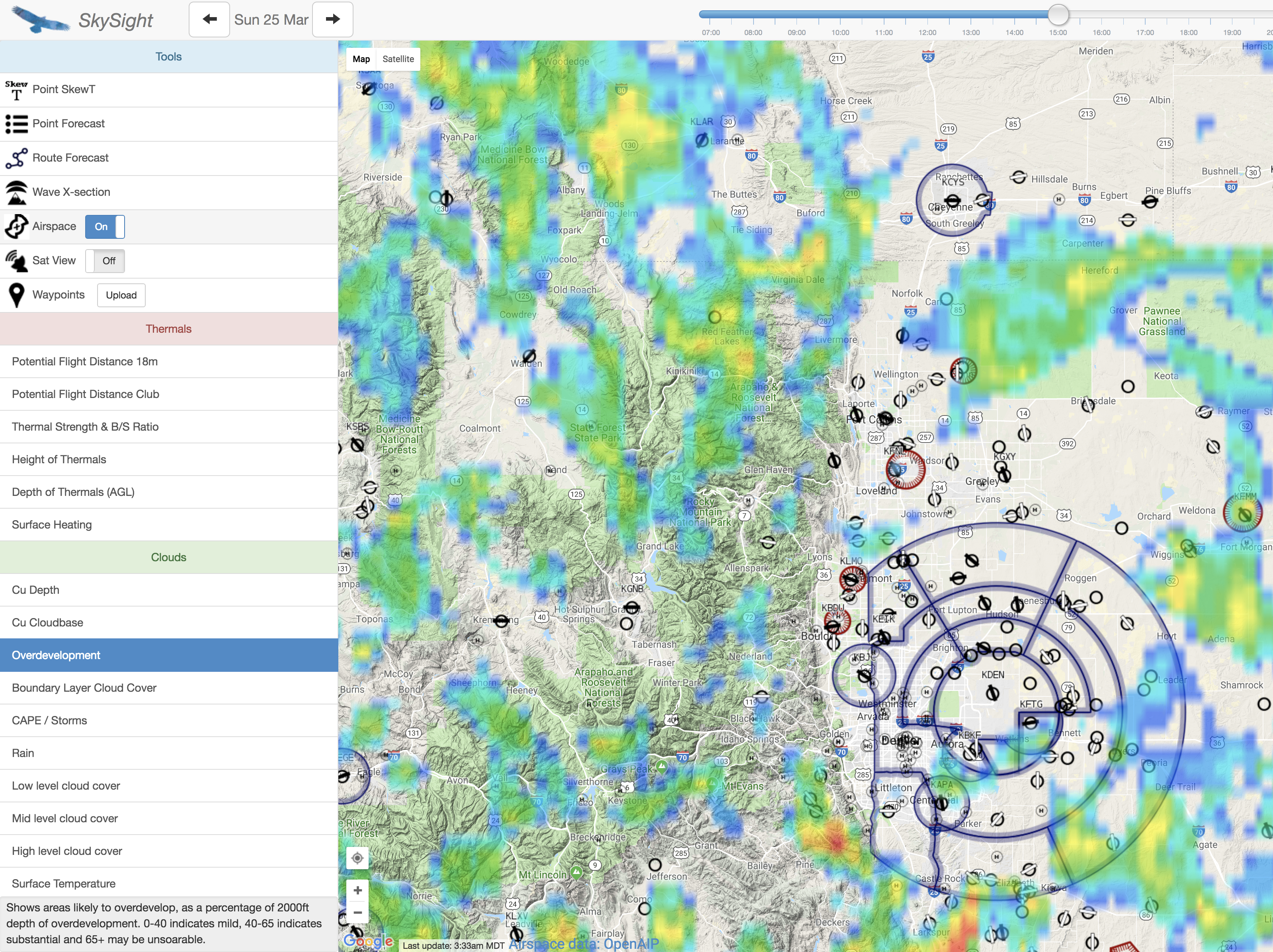
Thermal height was going to increase throughout the day to approx. 20,000 feet MSL over the mountains with the highest cloud bases to the southwest. Thermals were projected to be strong with climb rates of up to 10kts or even more. There were going to be winds of 10-20kts aloft, mostly from the southwest. These winds could complicate thermal flying: increasing winds with altitude tend to distort thermals breaking off from the ground and the strongest lift is often limited to upper-level convection, i.e. close to cloud-base. In addition, it is important to be careful on the lee side of taller mountains where such winds tend to cause significant sink and rotor turbulence. There was a good chance for cumulus clouds and a low risk for overdevelopment.
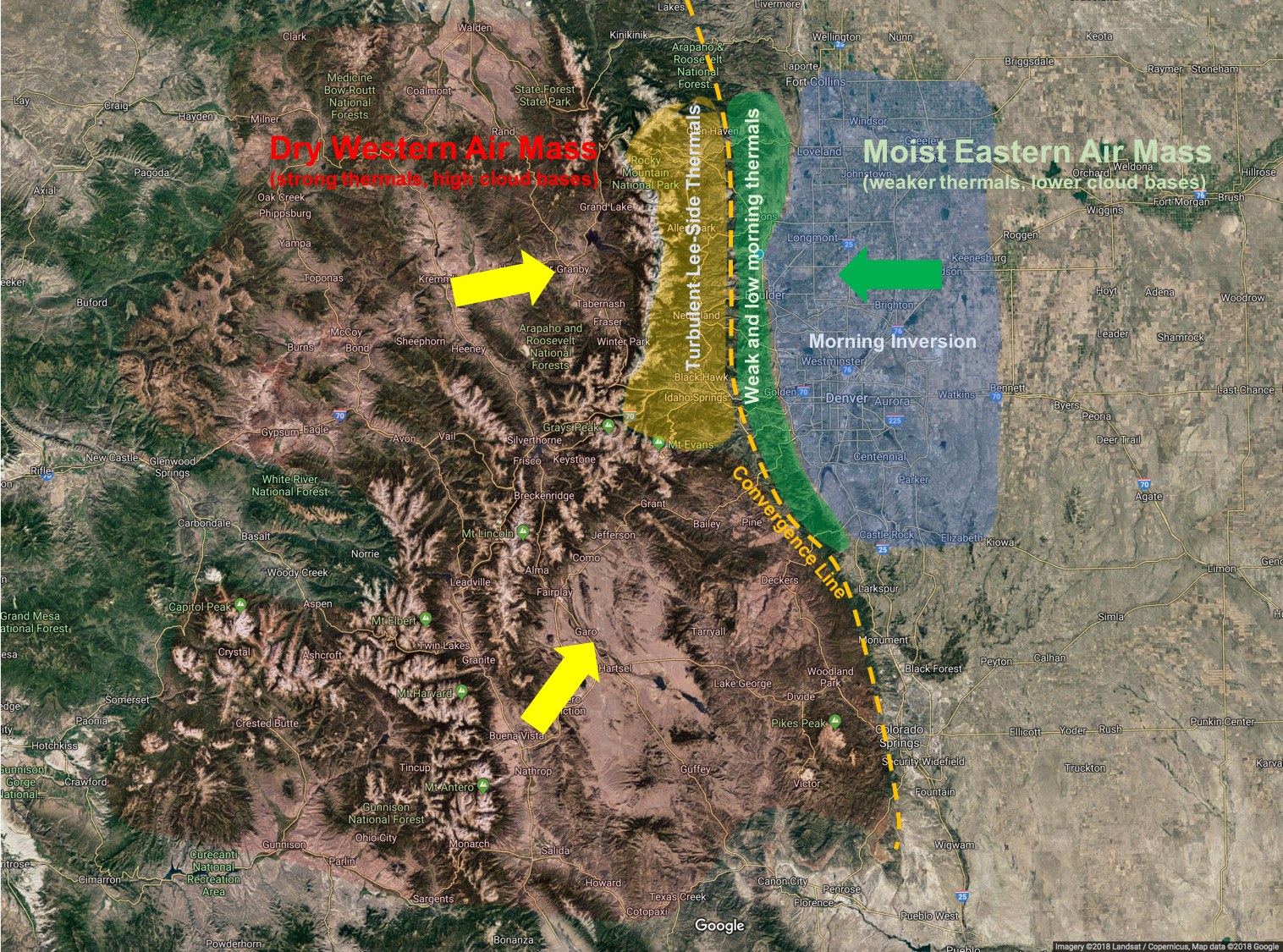
From the soundings it looked like the day might start as early as 10AM over the foothills and significantly later in Boulder – a common scenario due to the morning inversion down in the valley.
As I did the pre-flight checks on the Discus there was a slight easterly breeze on the ground – also a very common phenomenon – and an indication that there was likely a convergence line somewhere over the foothills where the easterly wind from the plains meets the westerly airflow aloft.
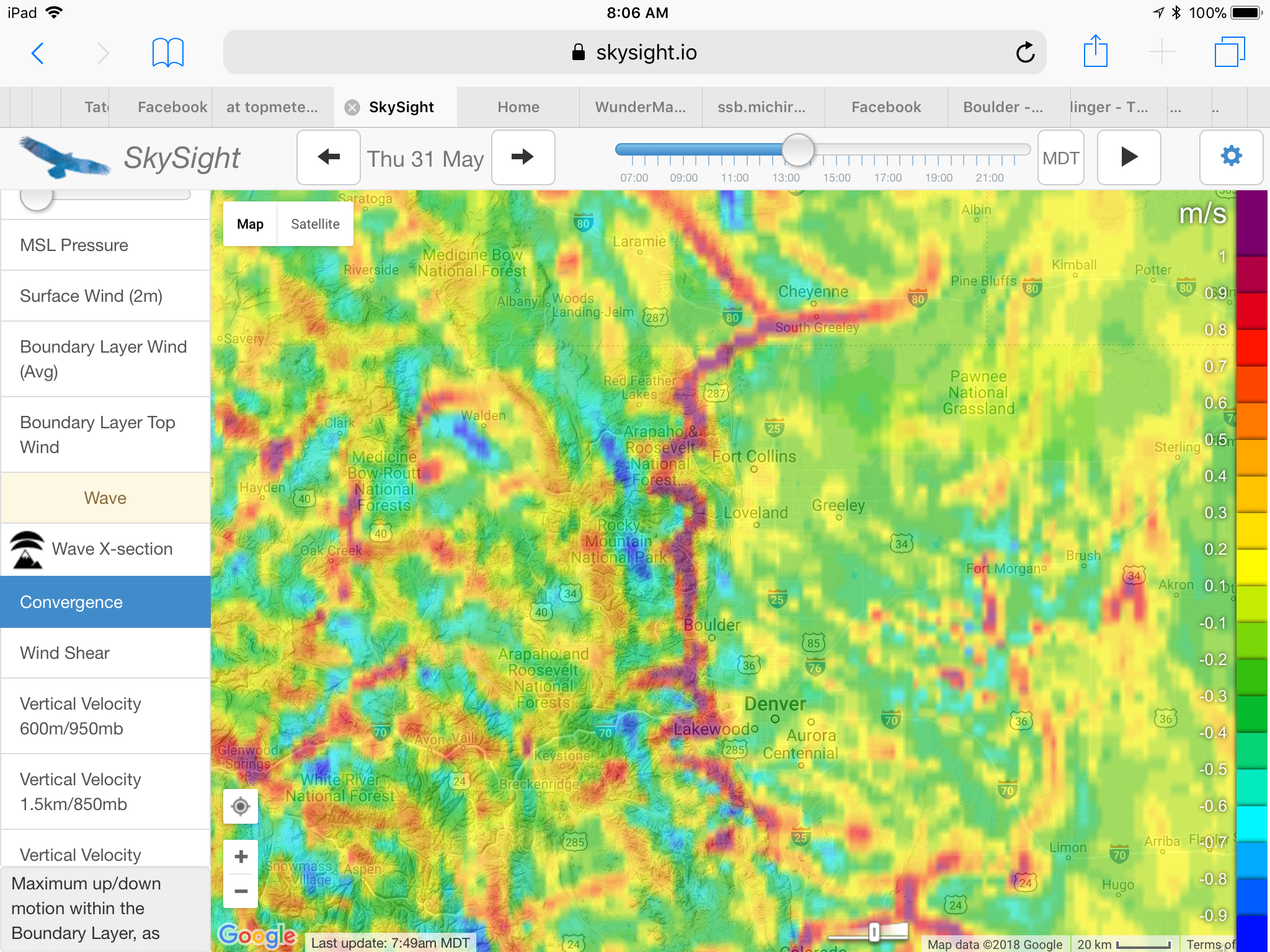
Whenever conditions conform to this fairly typical pattern I have learned that it is important to get to the west side of the convergence line as quickly as possible: thermals on the east side tend to be fairly weak and often top out at less than 1000 feet AGL – especially in the morning when they are trapped by the inversion layer. Unfortunately this often means a long (and expensive) tow over the foothills is necessary to connect with the lift on the west side of the convergence. (Note that usually you don’t have to tow all the way back to the convergence but you have to tow high enough to be able to glide west until you’re able to connect with rising air on the west side. If you don’t steer decisively west and linger on the east side you might quickly find yourself too low to get far enough west. This is especially true early in the day when the thermals on the east side are still non-existent or extremely weak. )
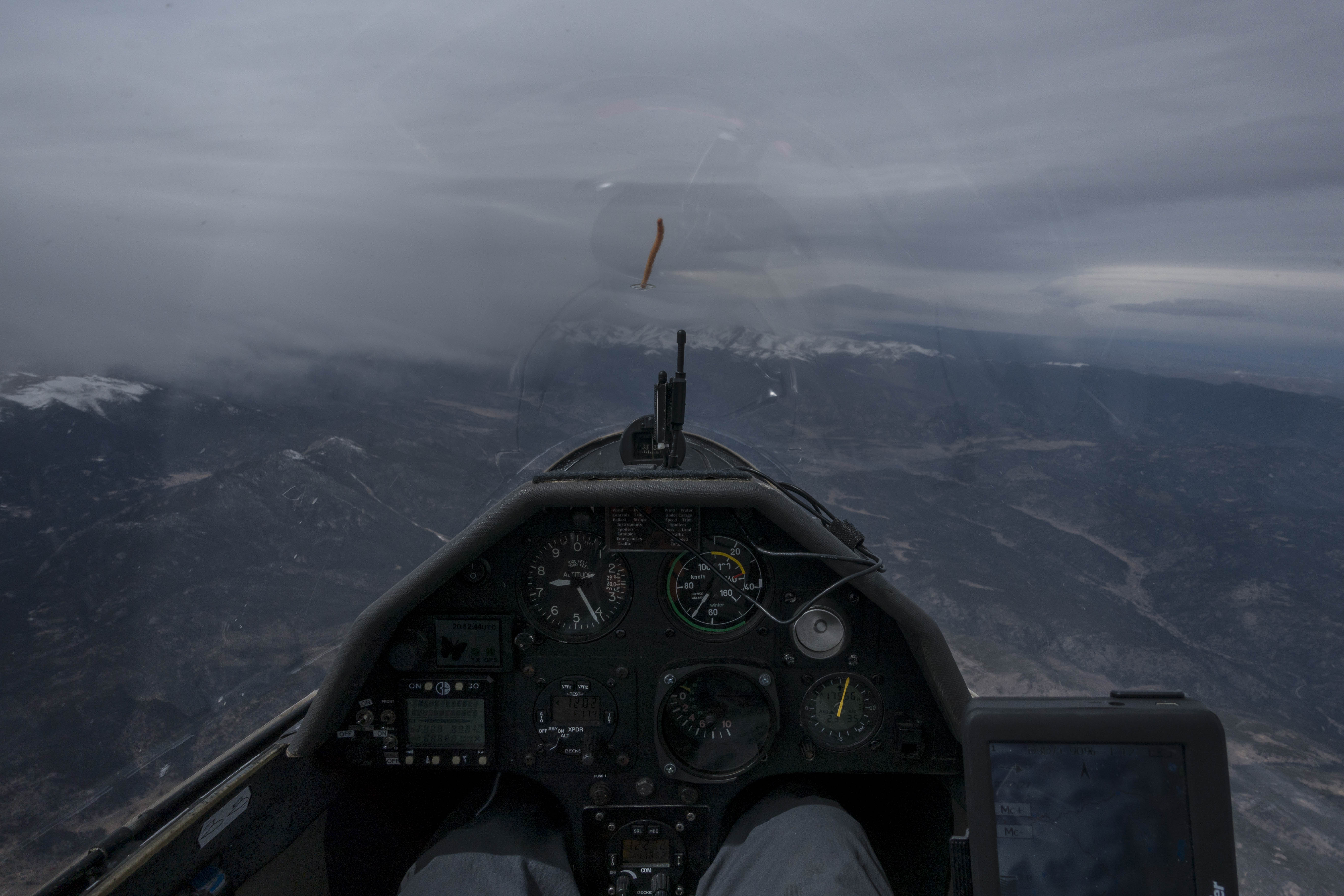
When I launched at 10:42AM MDT the air above Boulder was still as calm as it could possibly be – a sign that the inversion still suppressed any thermal activity over the plains. The first time the air started to stir just a little was after the towplane had turned west over the foothills (west of Altona). However, the climb rate on tow remained constant until we had climbed to 10,800 feet over Jamestown and I decided that I was now high enough to push further west on my own as we still had not reached a thermal.
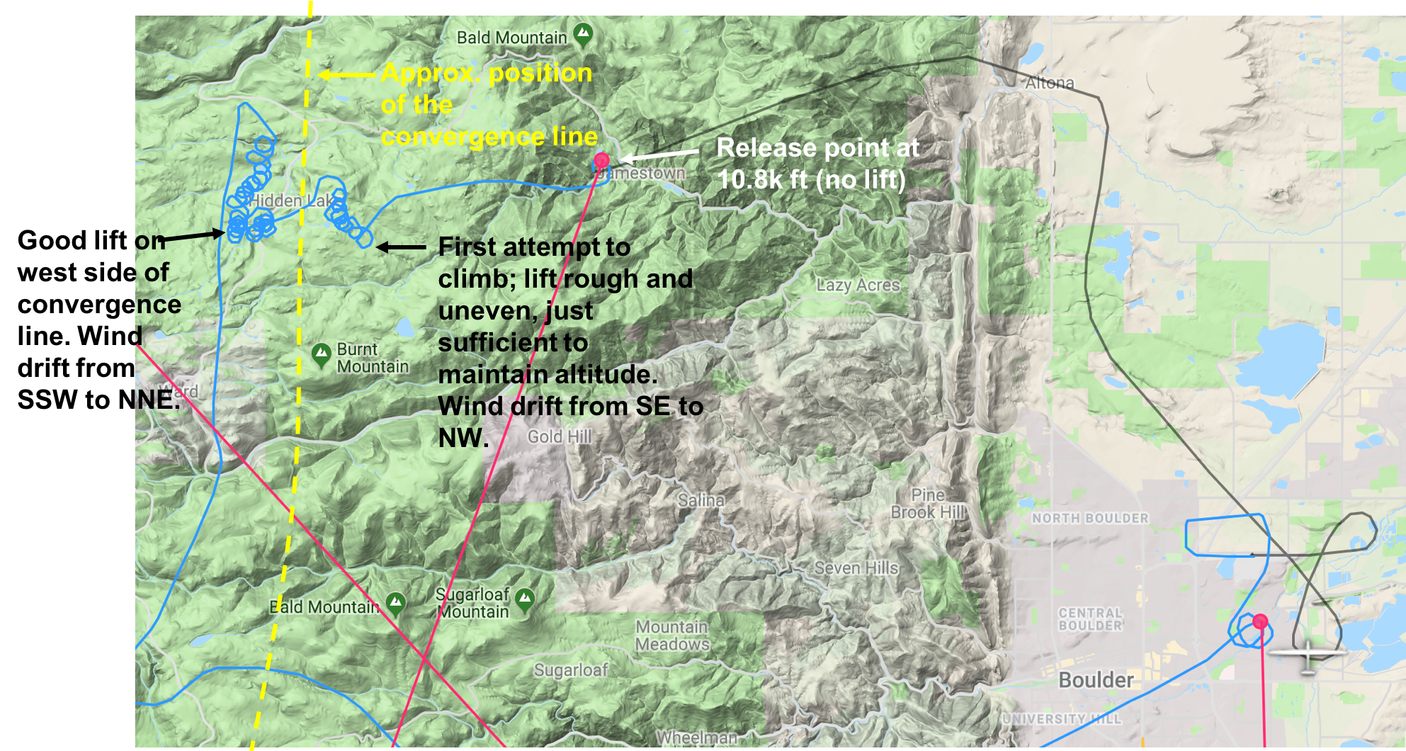
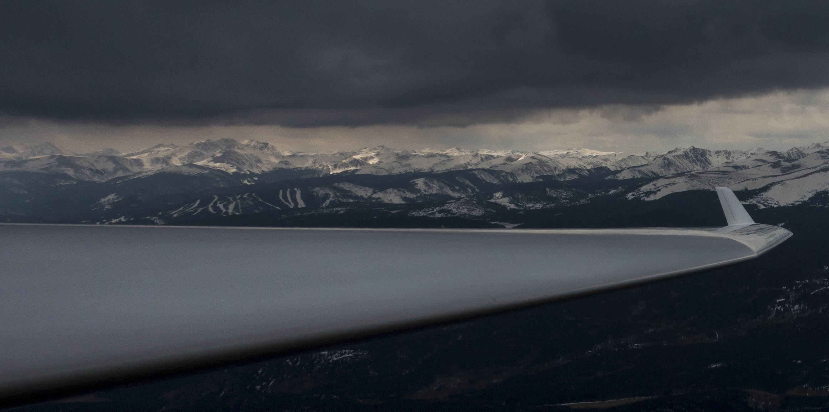
I headed straight toward a cloud a few miles further west. East of Hidden Lake I reached the east side of the cloud and found some weak lift. I tried to climb in it but the air was rough and the lift weak and inconsistent. The wind drift was from the SE towards the NW. These were all indicators that I had reached the convergence line but that I was still on the east side. After several turns (probably too many) I decided to push to the western edge of the cloud. And voila, just as I had hoped, I had reached the west side of the convergence line and within 10 minutes I climbed from 10,000 feet to just under 16,000 feet.
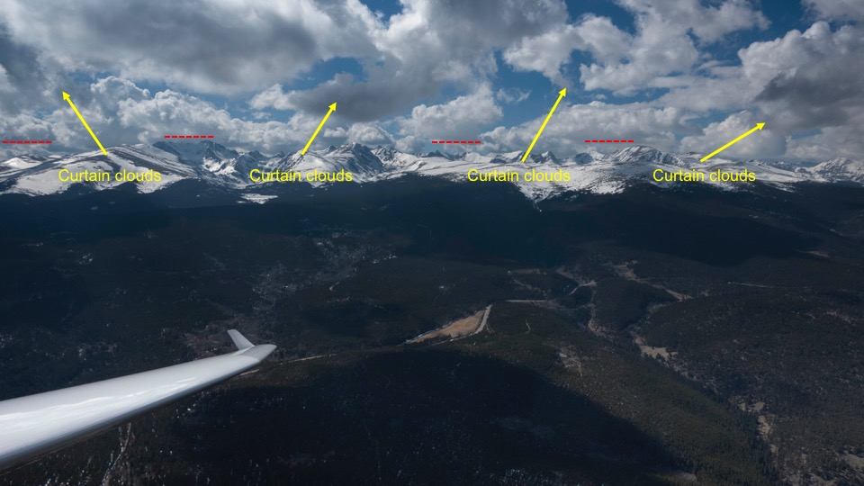
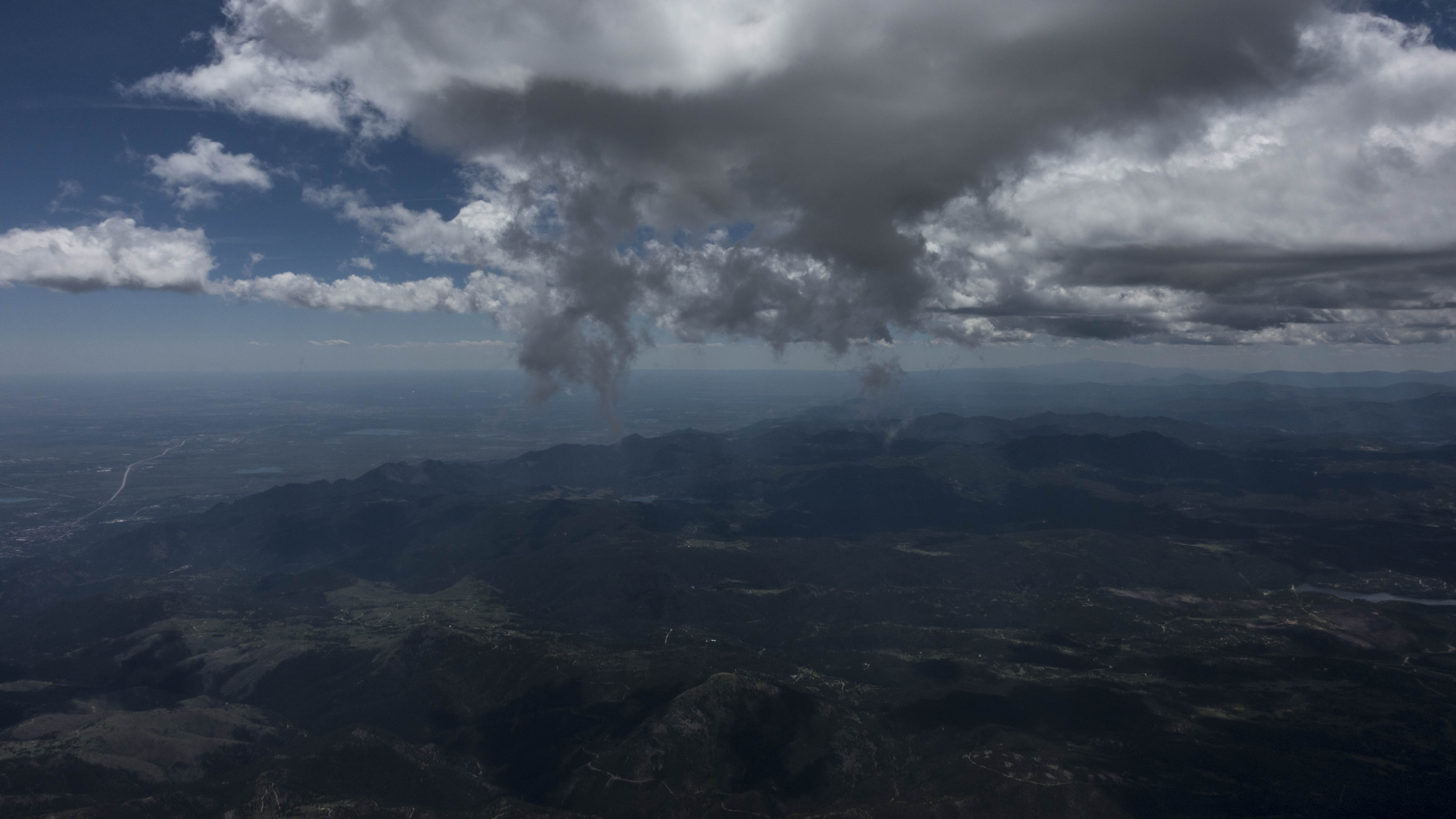
As I started to head south I could easily see the position of the convergence line by looking at the curtain clouds underneath the next cloud in front of me.
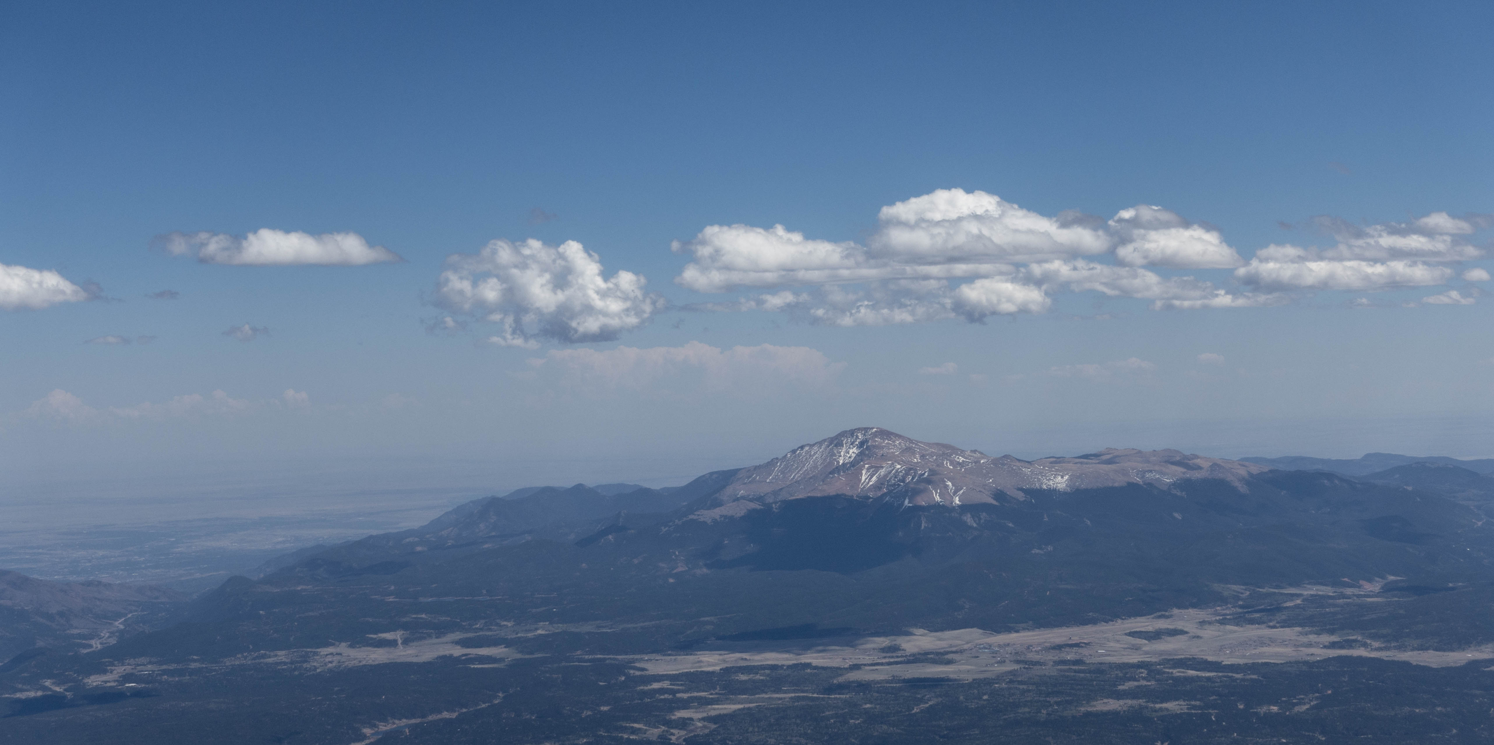
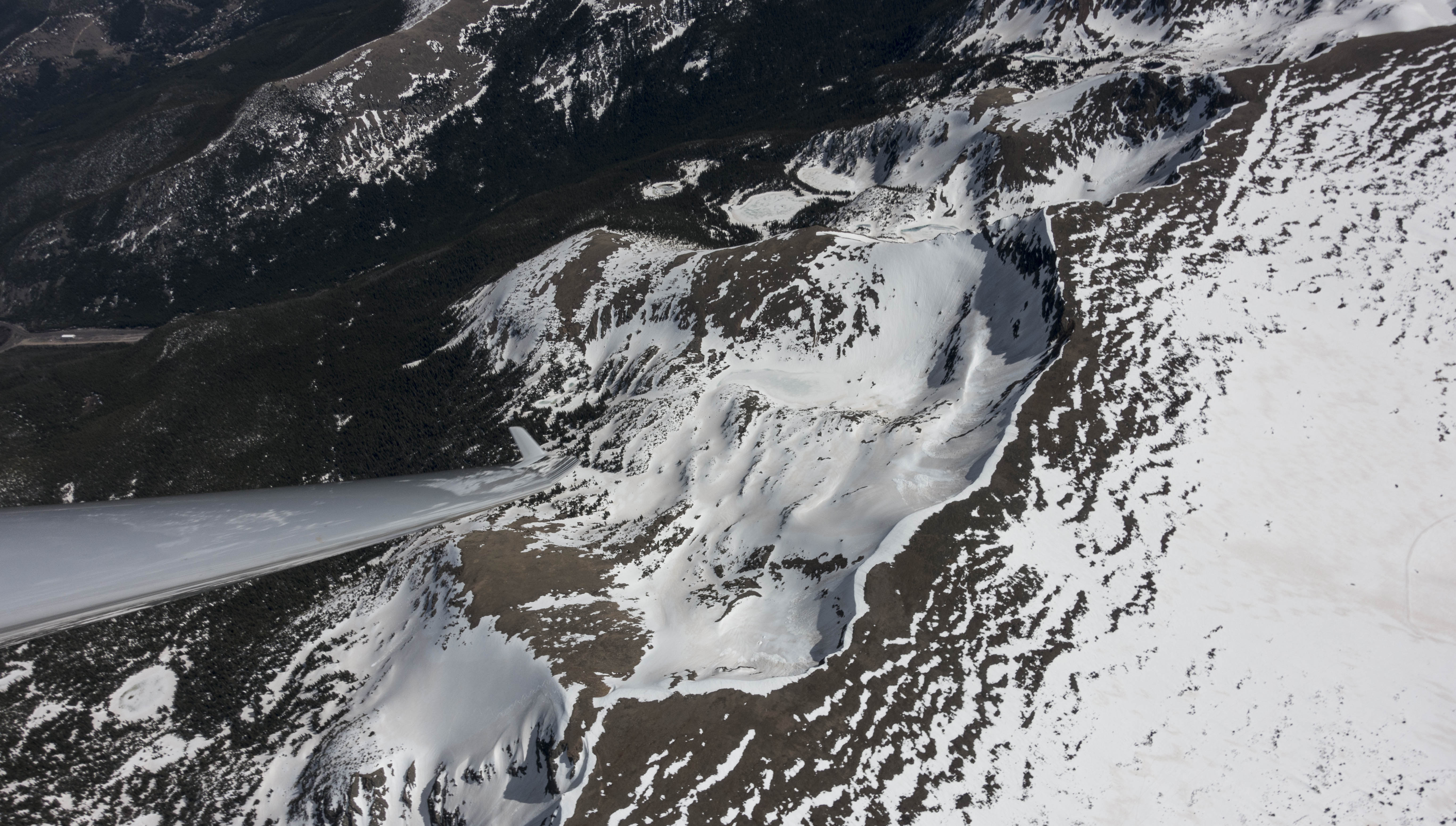
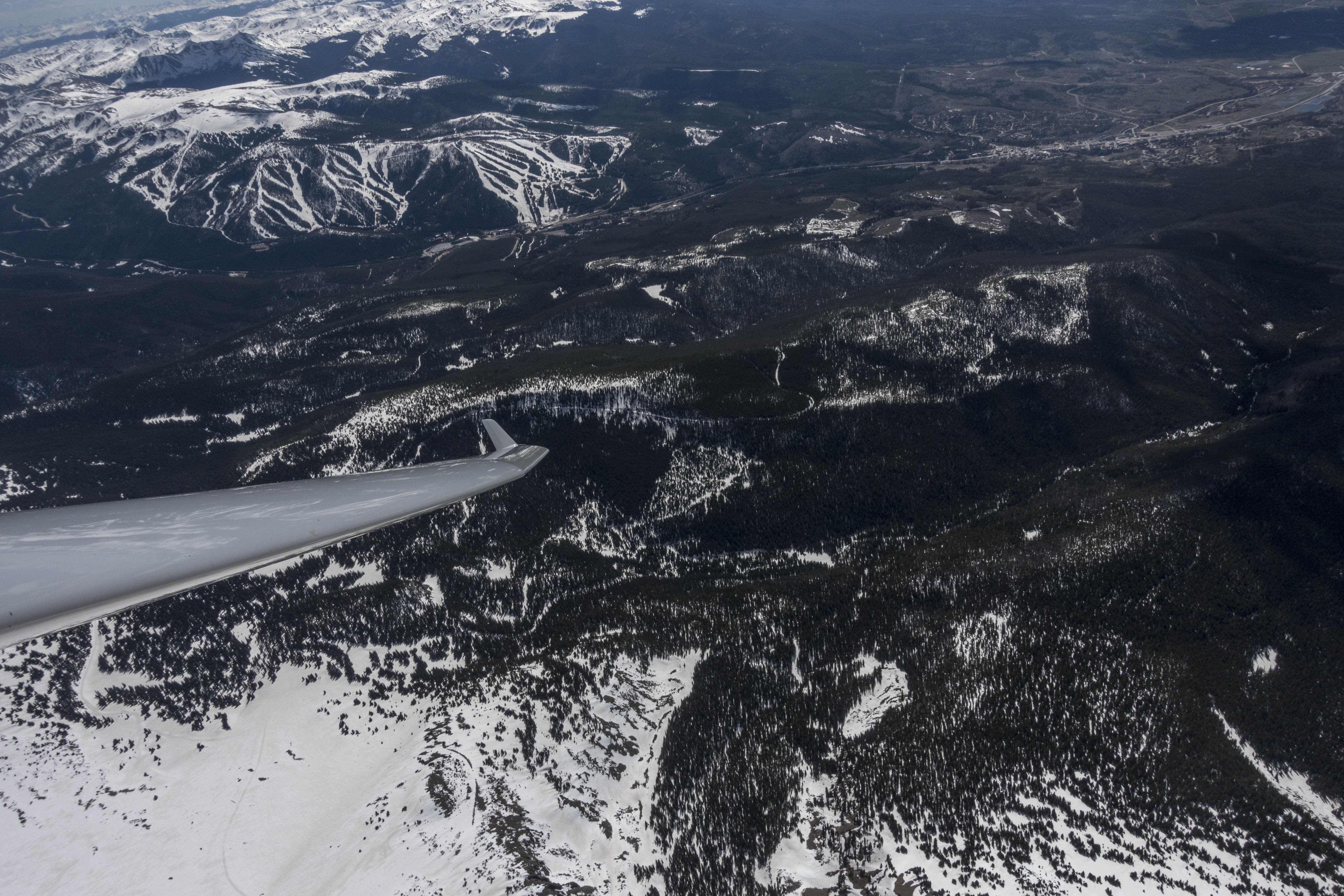
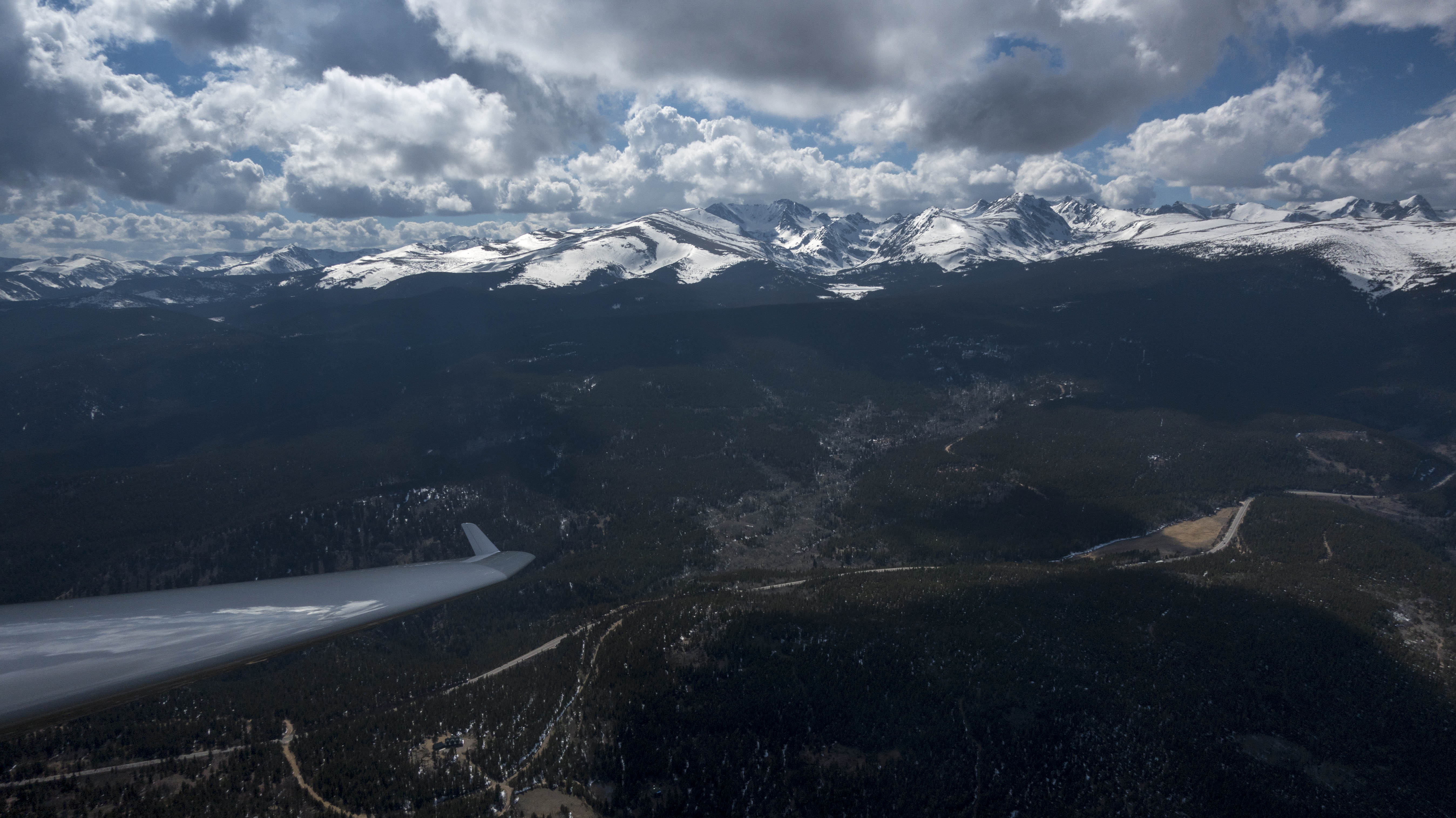
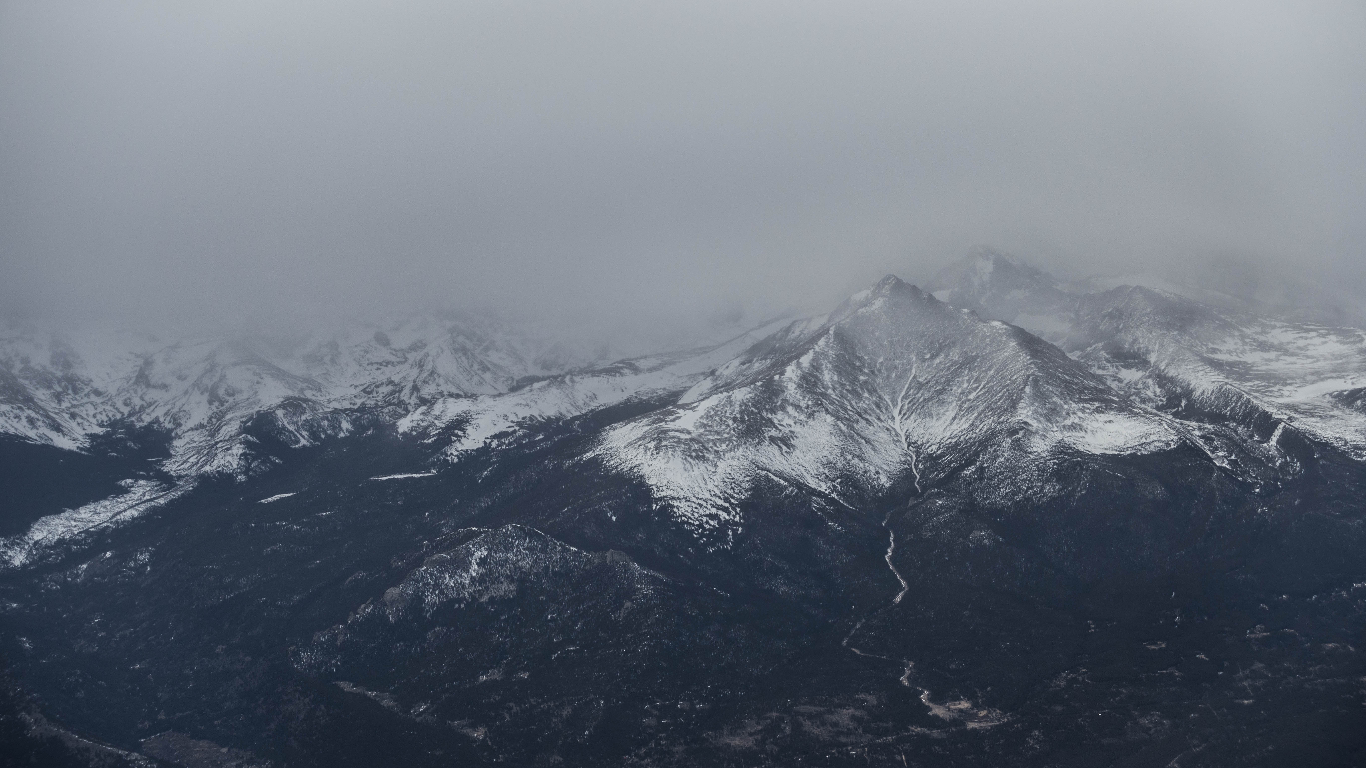
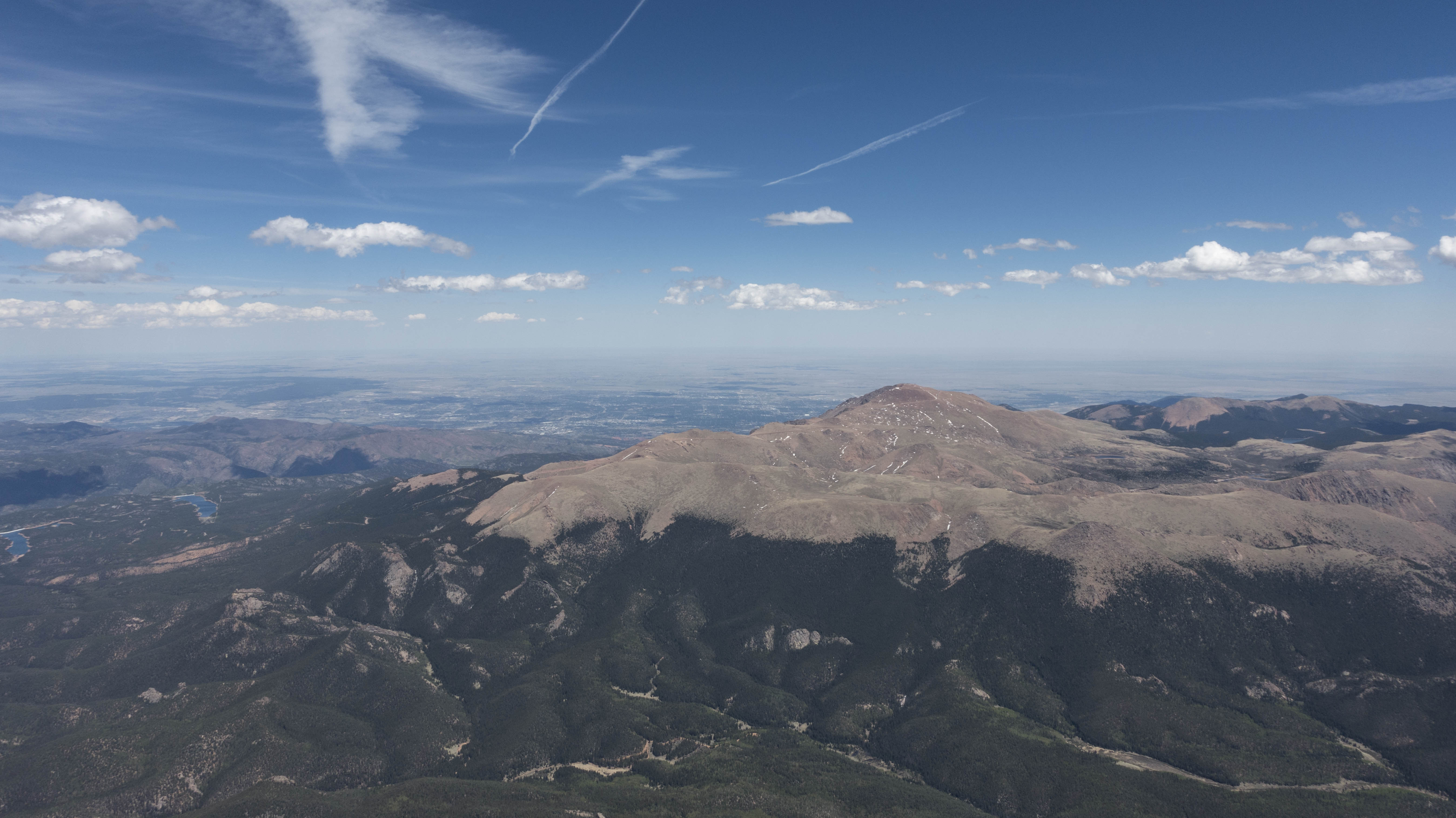
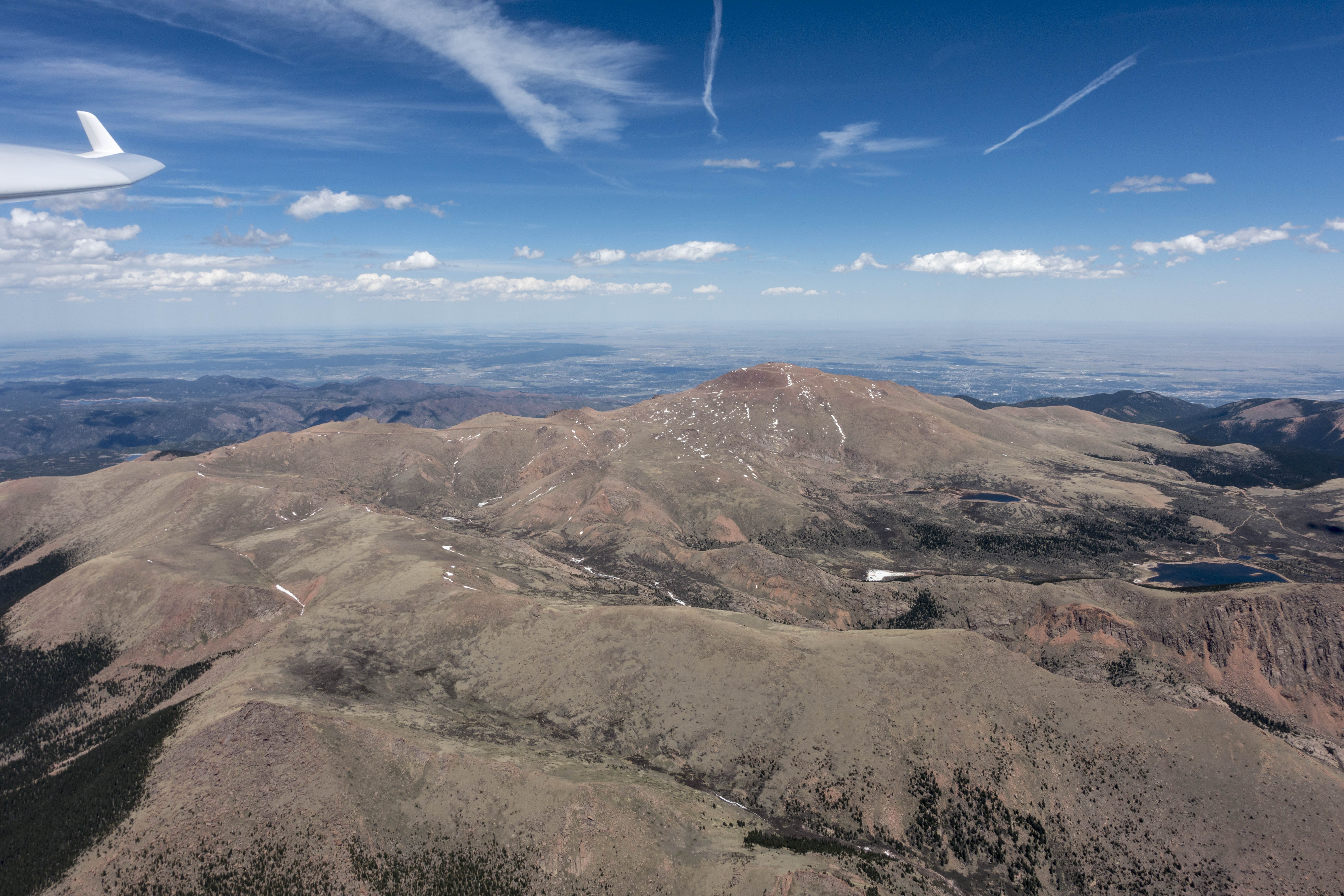
Two quick climbs above Nederland and south of Idaho Springs took me up to 17,000 feet – high enough to push through the potential sink on the lee side of Mount Evans. The air above Evans was rough but I found two reasonable climbs southwest of Mount Bierstadt that gave me the altitude needed to fly further southwest into Southpark where I saw some promising clouds north of Como. At this point my goal was Buena Vista and – if all went well – perhaps Salida.
I climbed in ok-ish lift near Fairplay and headed for some nice looking clouds near Antero Junction. However, none of the clouds along the western rim of South Park worked well at all. I could not make out a good reason for this but when the fourth or fifth cloud provided only mediocre lift I decided to change course and save Salida as a goal for another day. A few miles to the north I saw several nice clouds right through the middle of South Park, spread about 10 miles apart.
These worked and within 20 minutes or so I had reached the east rim of South Park. This area worked particularly well: it was now early afternoon and the combination of wind and sunshine from SSW provided for great lift above the SW facing slopes on the east side of South Park.
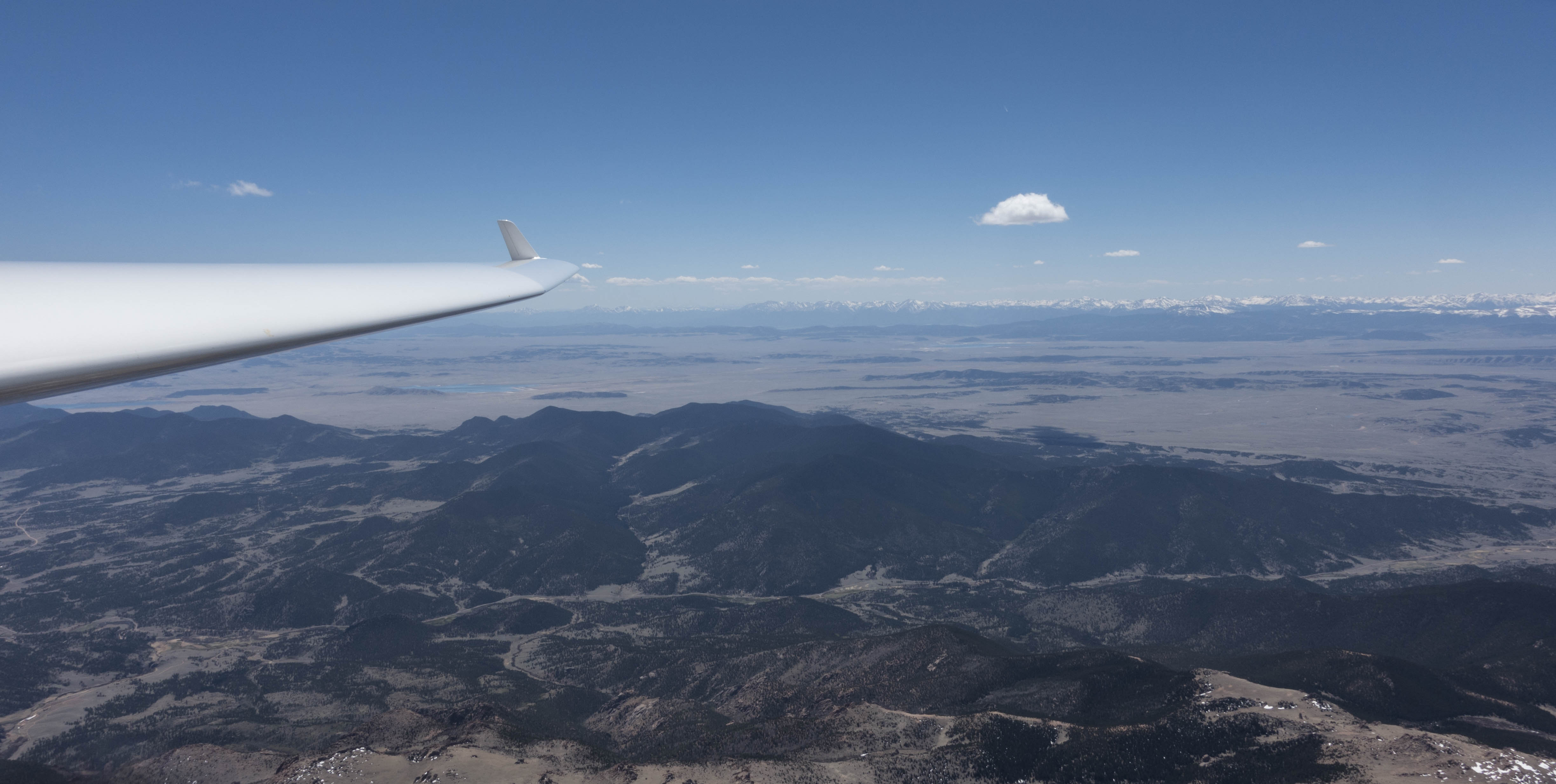
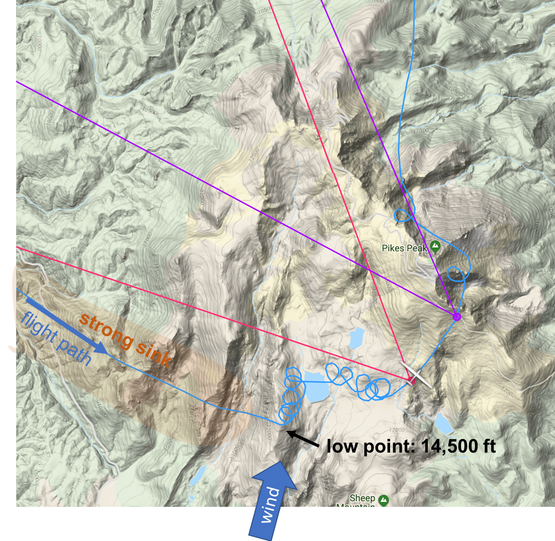
At this point I had my eye on Pikes Peak. There was a blue hole right around the mountain but it was not nearly as big as during my prior attempt.
The wind was blowing at 18 kts from SSW so I decided not to fly straight toward the mountain but instead to pass it on the west side and then approach it from the SW. If I wouldn’t find any lift along the slope, I would have an escape route to the south towards Fremont County Airport near Cañon City, which I figured was easily reachable even flying against the wind. There were also some nice looking thermals in that direction giving me extra confidence.
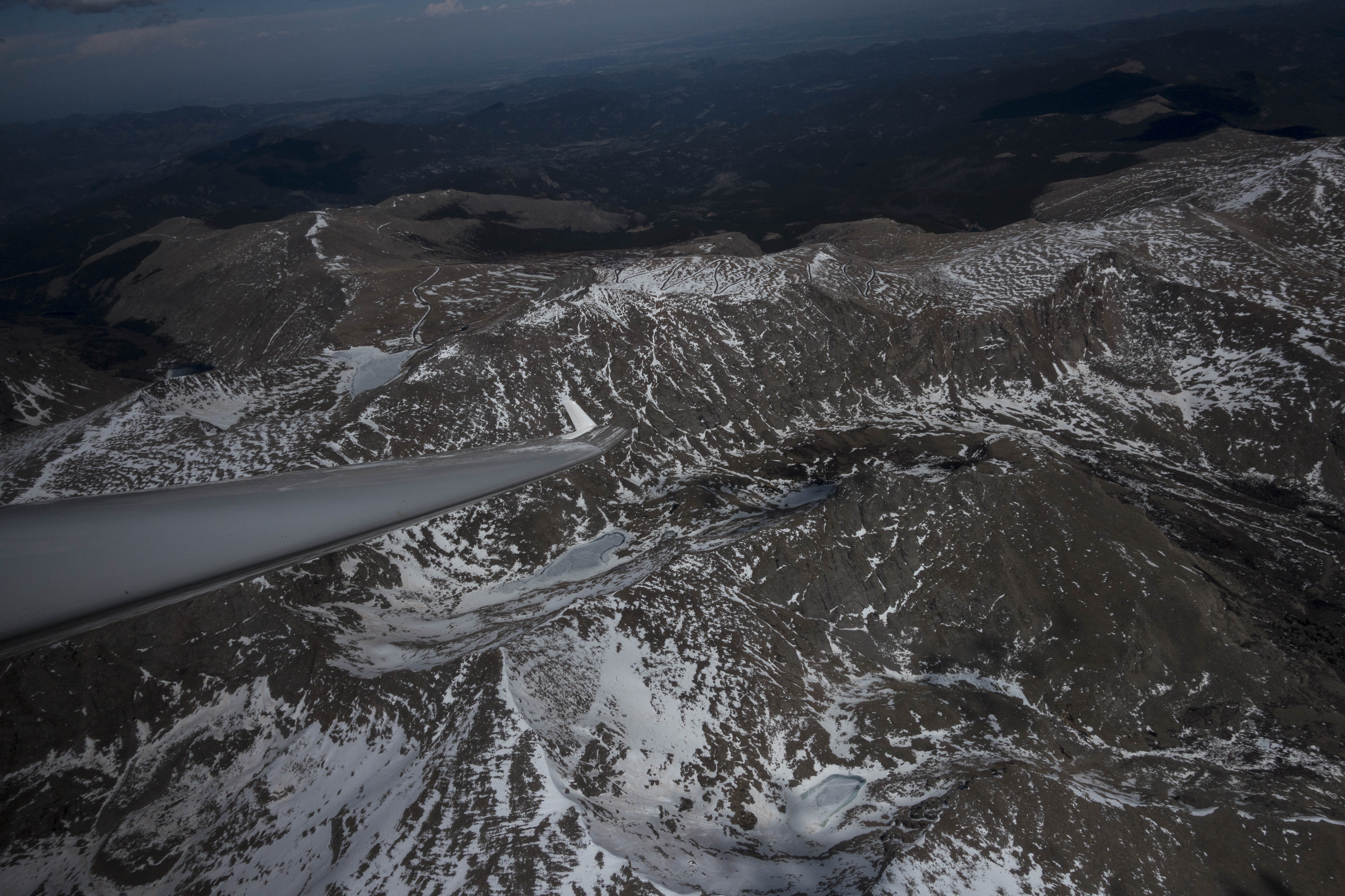
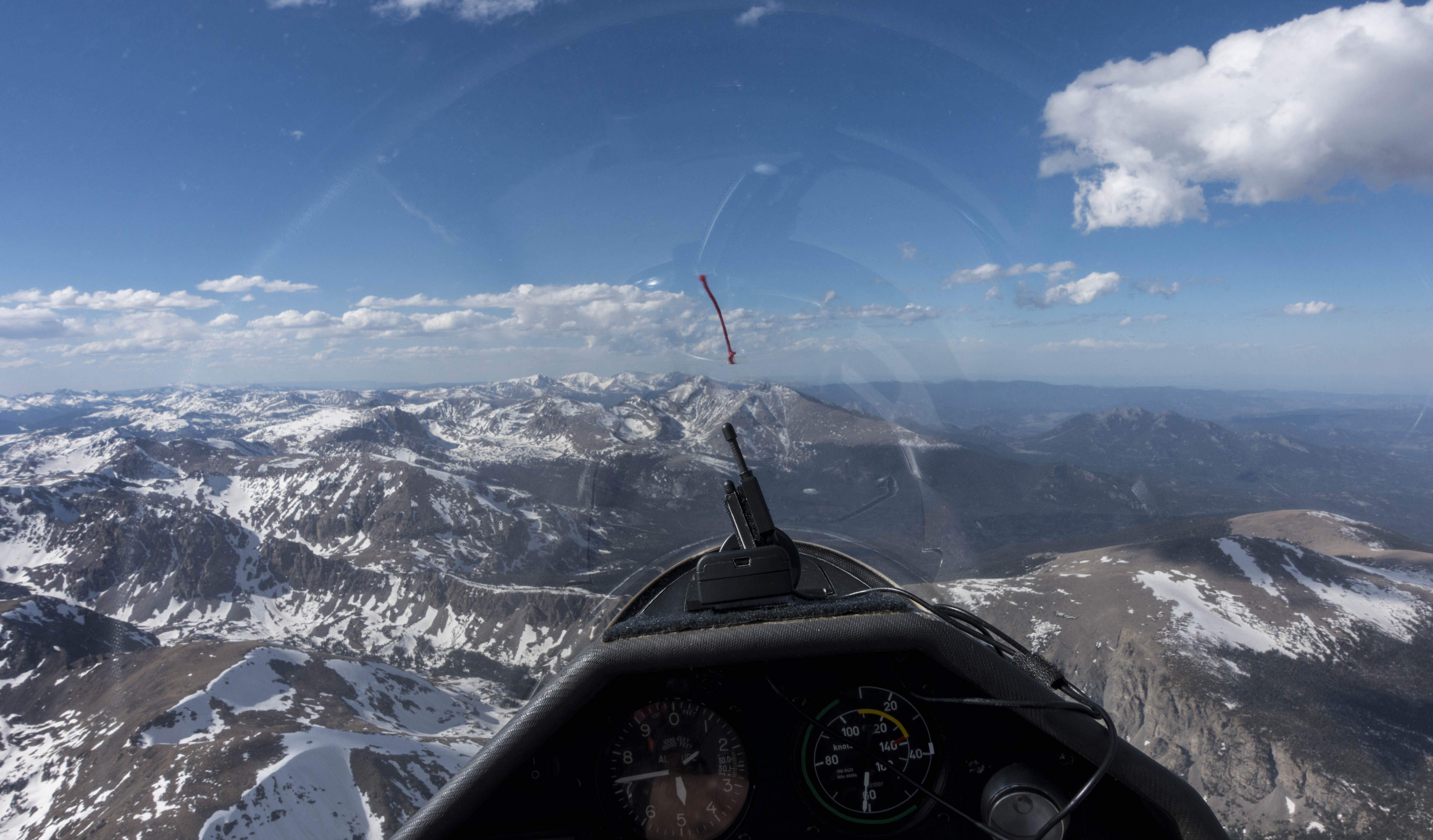
As I approached Pikes Peak the air turned very rough with strong sink. A few miles SW of the summit I reached a low point of around 14,500 feet – just a few hundred feet higher than the mountain itself – too low for comfort to fly over the peak. Fortunately I found a turbulent thermal breaking off from the ridge line below me. Although it was extremely disorganized and caused erratic movements of my vario from +10kts to -10 kts I was able to climb to 16,700 feet – high enough not only to fly over the summit but also to reach the next cloud, which was approx. 10-15 miles further north.
Having “bagged” Pikes Peak, I decided to head back towards Boulder while remaining on the lookout for worthwhile excursions.
The clouds in front of me looked solid. However, when I got to the nearest one, north of Woodland Park, the climb rate was disappointing. I wondered if I was too far east – perhaps the air from the prairie had penetrated over the foothills, suppressing thermal activity?
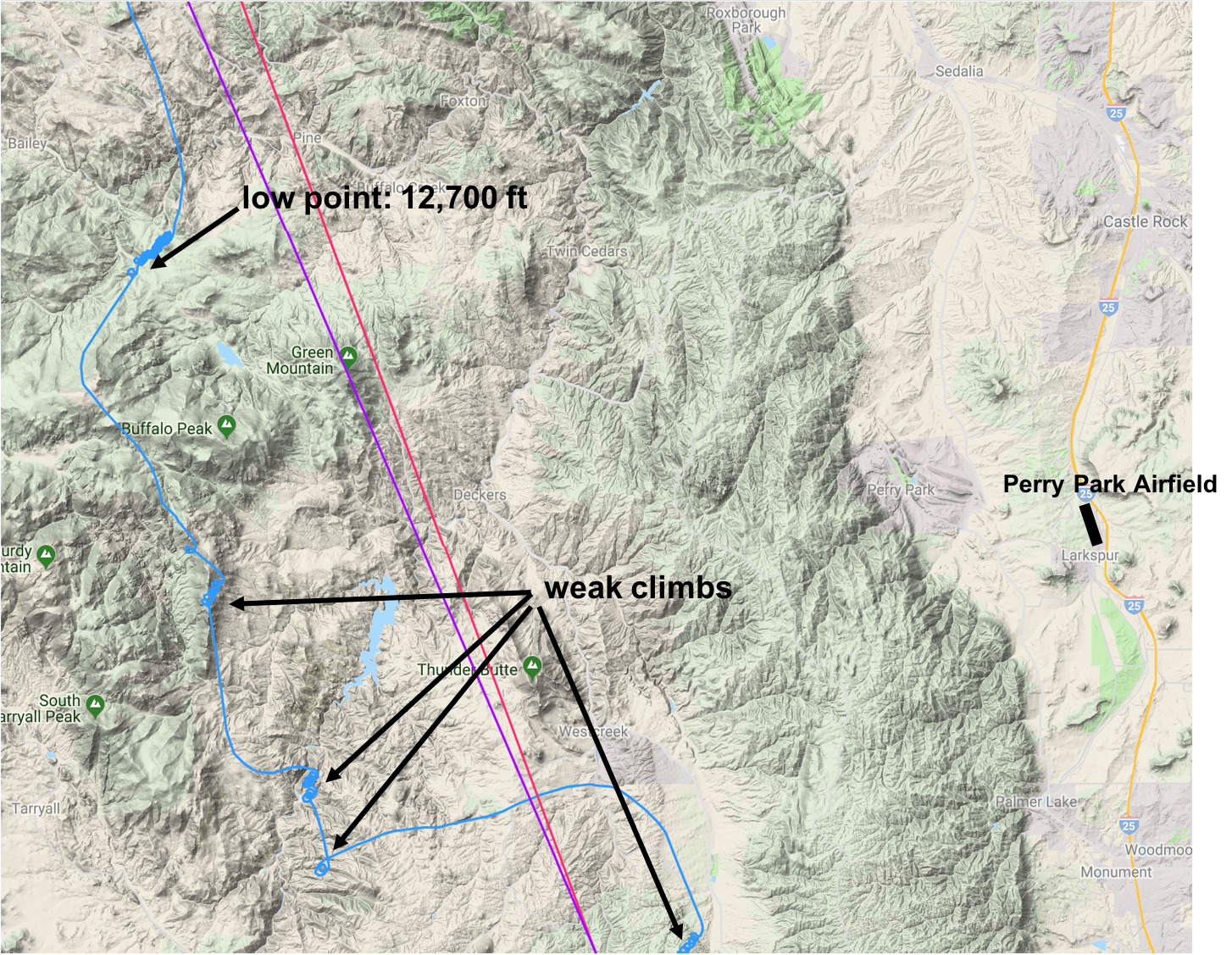
I decided to turn west again towards the east rim of South Park where I had experienced much stronger climb rates some 40 minutes ago. However, my next three thermals were equally poor and each time I decided to push on without gaining much altitude. Lee-side sink north of Buffalo Peak caused me to loose another 1,500 feet. I was now below 13,000 and worried that I might lose my connection to the clouds.
Just as my mind was working on fall-back options: Perry Park airfield was still within reach (though barely) and an off-landing field near Roxborough Park (which I recently checked out on the ground) was more easily accessible, I found a modest climb southeast of Bailey. When you’re down to 12,700 feet over unforgiving terrain and with another 50 miles to go to Boulder you can’t be picky. I carefully centered the thermal and happily spent the next 12 minutes climbing back up to 17,500 feet.
It only takes one climb for the world to look totally different again. I steered to the SW side of Mount Logan (just SE of Mt Evans), climbed again to just under 18,000 and decided to fly north. Maybe I would find lift above the Continental Divide so I could extend the flight to the north towards the Wyoming Border?
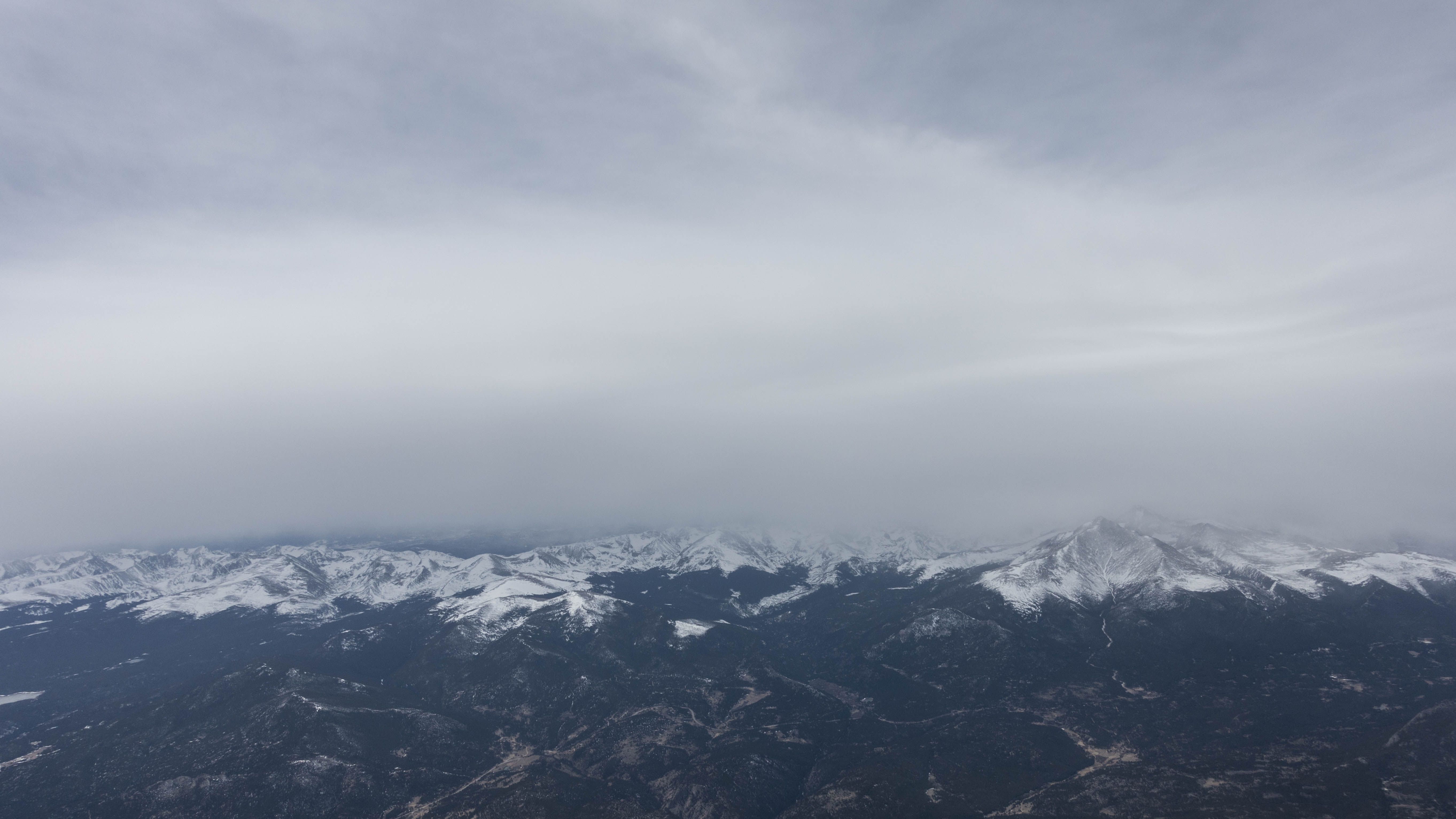
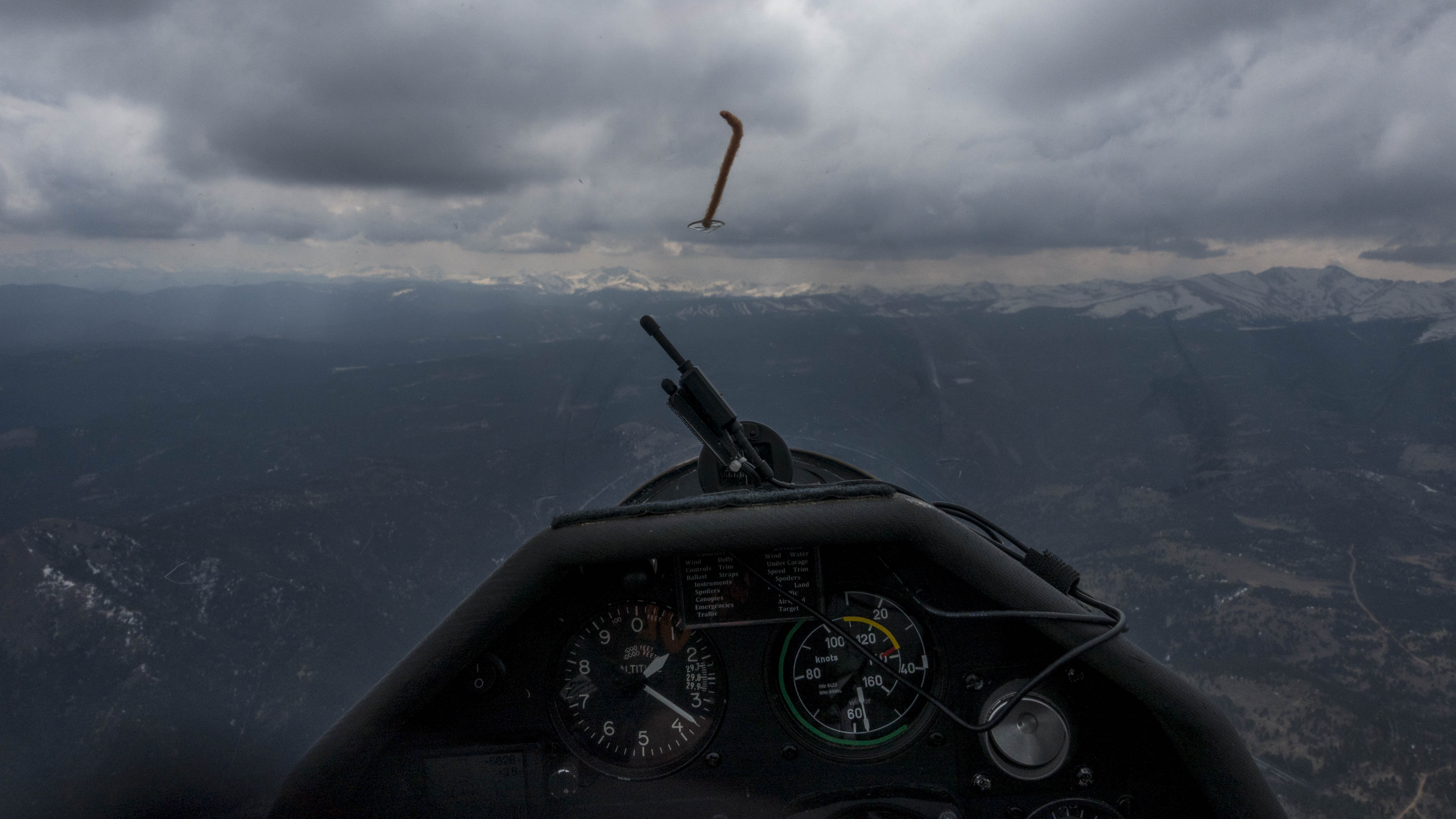
However, when I got to the Divide near Mt. Eva the route to the north along the Divide did not look promising. Rain showers and virga obscured the sight and the area appeared over-developed. To my left however, there was a nice-looking cloud street towards the SW. I followed this line until Berthoud Falls when the route ahead also seemed be over-developing.
I made a 180 degree turn. Looking north from my new vantage point I could suddenly see what was going on: the convergence line that had sat over the foothills in the morning had crossed over the Continental Divide. What had looked like rain showers and virga when viewed from the East side were in fact curtain clouds marking the position of the convergence line. Further to the west the sky was completely blue.

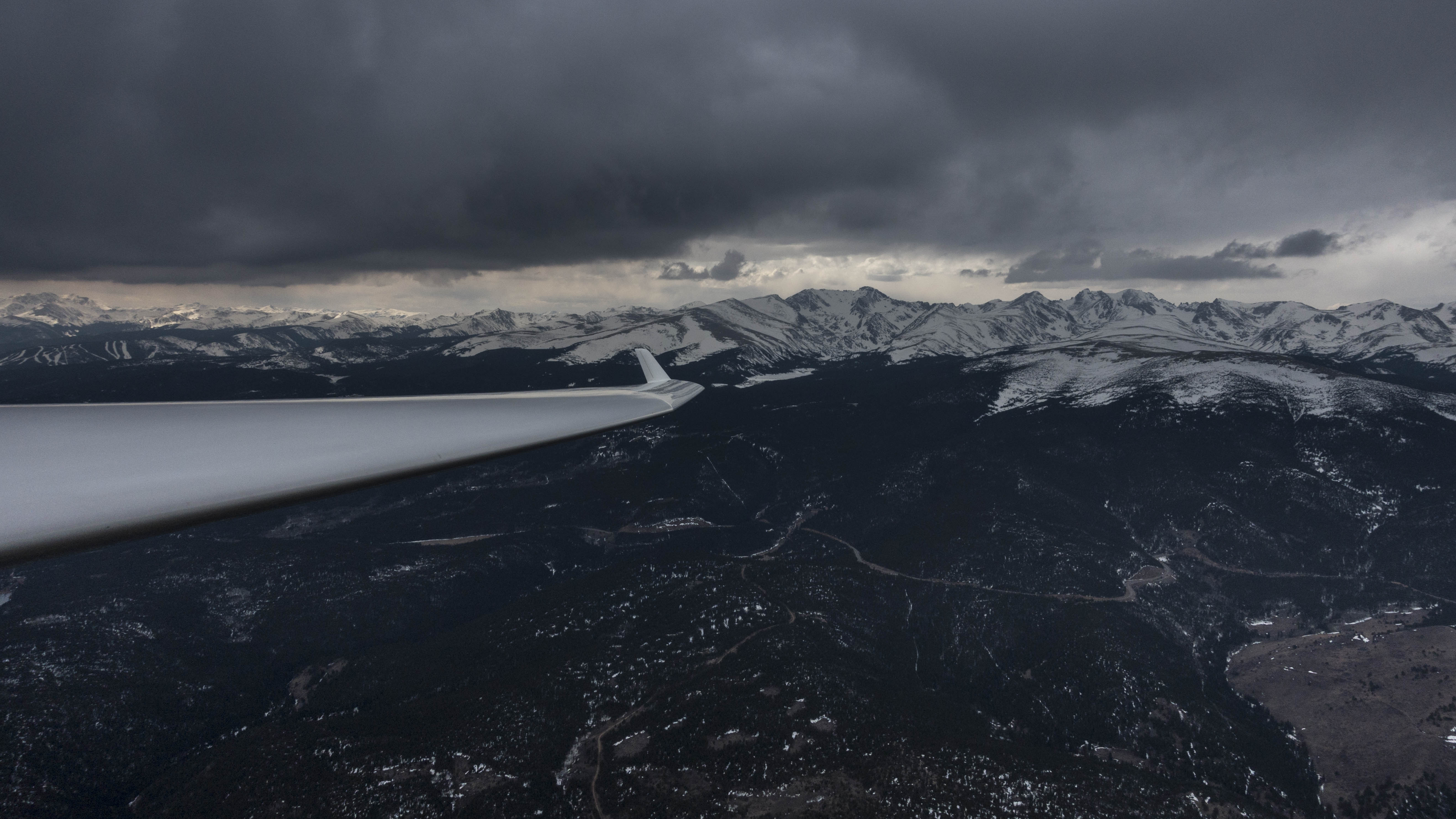
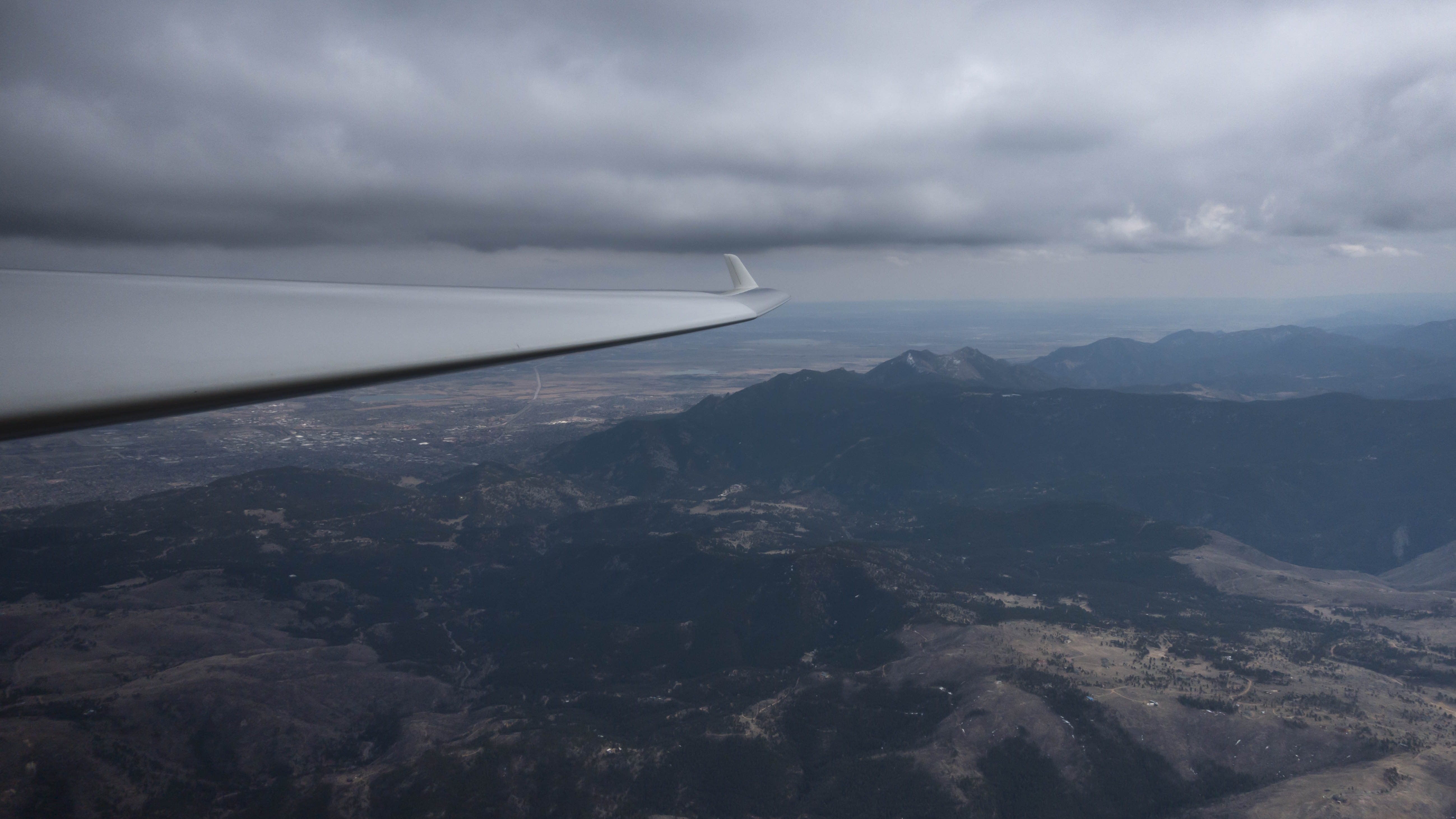
I decided to follow this line to the north, always staying to the west of the curtain clouds. It worked amazingly well. I followed the line of curtain clouds that paralleled the divide. Flying between 80 and 100 kts IAS I was able to maintain my altitude of around 17,500 feet over a distance of 38 miles in just 16 minutes.
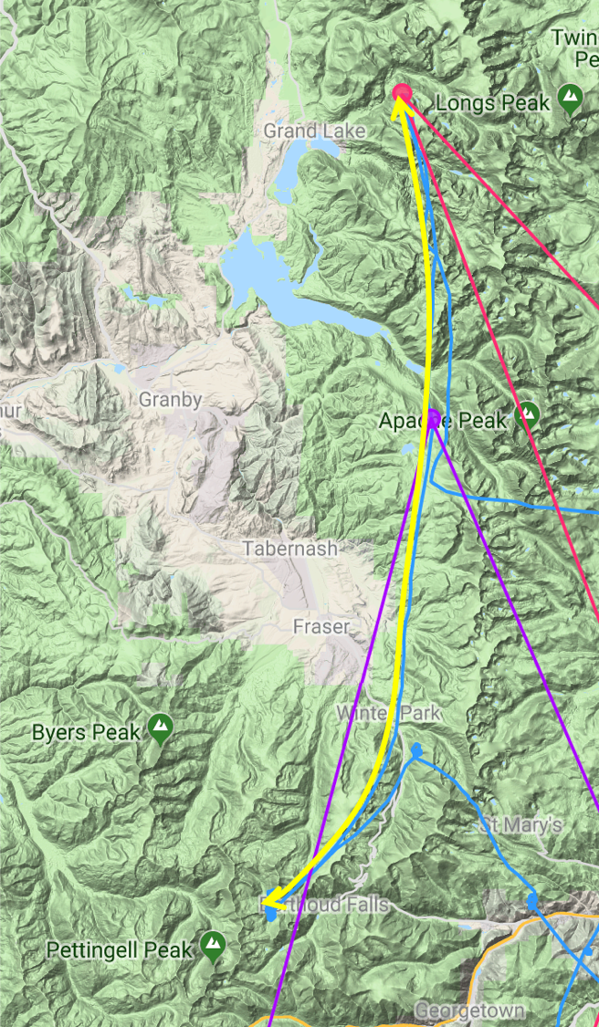
North of Longs Peak the line became less clearly defined and the cloud base dropped so I decided to turn around. I followed the line south past Apache Peak and then decided to return towards Boulder.

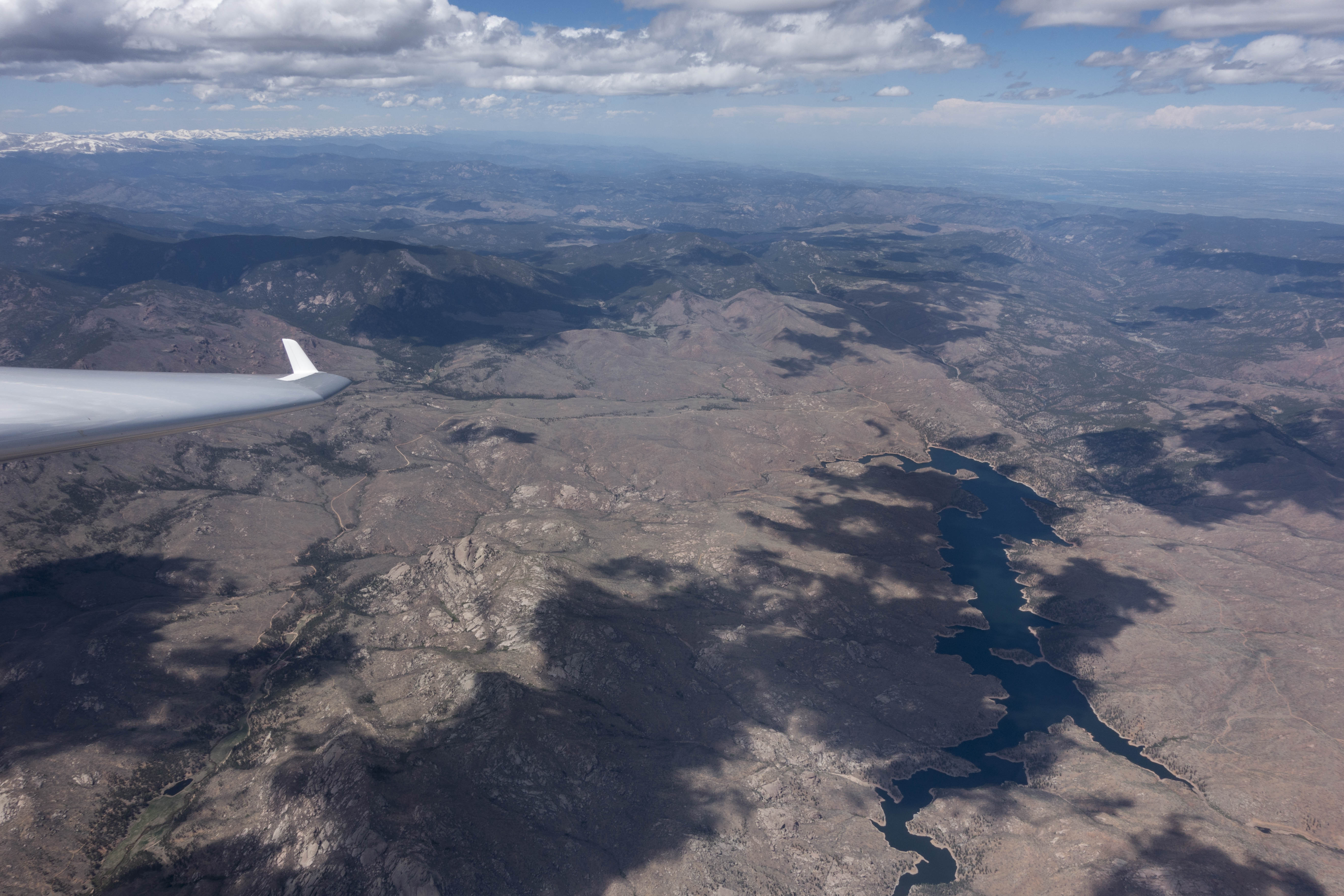
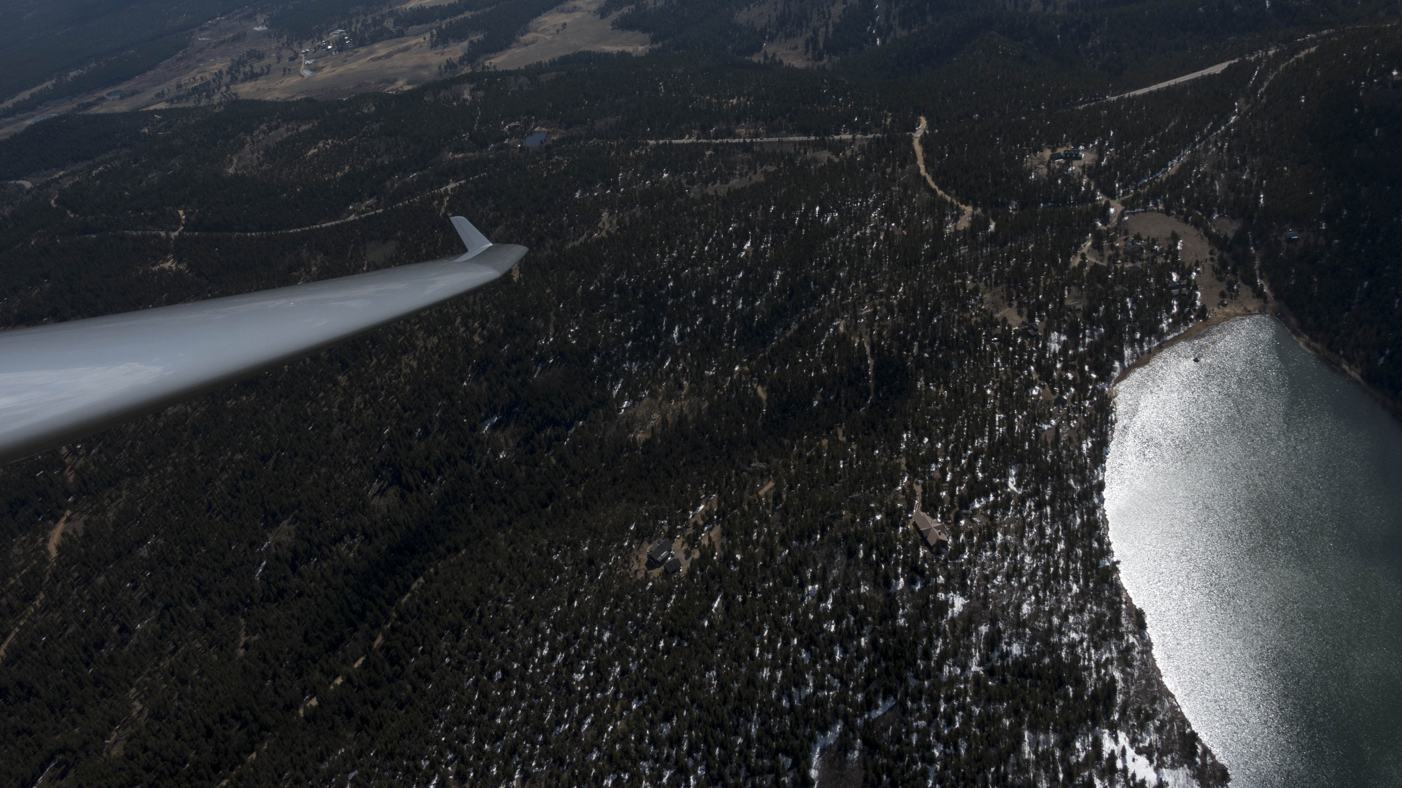
My final glide took me past Gross Reservoir towards Golden where I checked out the model plane airfield near Arvada from the air. I recently visited this field on the ground and determined for myself that its perfectly paved 700 foot runway is a viable out-landing option (land on the N side of the runway to minimize the risk of hitting a fence and watch out for the power lines on final).
From there I followed the ridge line of the Flatirons on my way back to Boulder. The winds at Boulder airport were 3 kts from the NE. I briefly considered landing on G26 but ultimately opted for Runway G8. I’m glad I did: as soon as I climbed out of the cockpit to get the dolly a freakish 27mph gust hit the airfield straight from the east. The gust lasted for about 2-3 minutes, then total calmness returned. I have absolutely no explanation for this gust. I just know that landing with a 27 mph tailwind would have been quite troublesome.
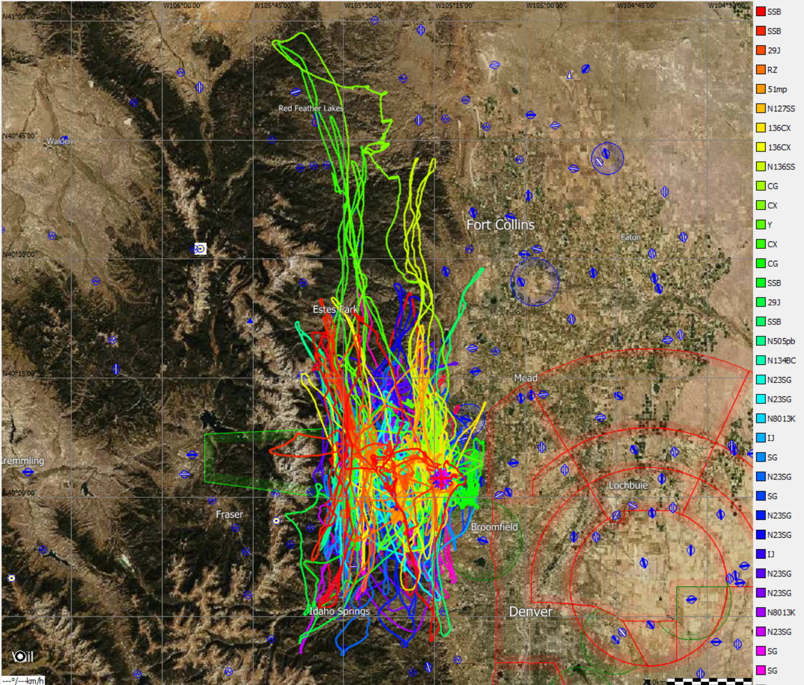
It was an interesting end to a challenging and rewarding first 500km flight. The full flight track is here.
Lessons Learned:
- If there is a convergence over the foothills get to the west side before you are too low. This is especially true in mornings with strong ground inversions when there are still no viable thermals on the east side.
- Always have a viable landing field in mind. I caught myself a bit by surprise when I was down at 12,700 feet and noticed that getting to Perry Park would have been doable but already a bit of a stretch.
- Approach big mountains with respect. They can make their own weather and it’s not always what you might expect. E.g., Pikes Peak surprised me with sink on the west side, which had direct sun exposure and was facing the wind. (It reminded me of a video from Bruno Vassel confidently approaching the Tetons from the west only to find unexpected sink.)
- Keep in touch with the clouds when you can. Throughout the flight I noticed that the climb rates improved the closer I got to the clouds. This phenomenon seems to get more pronounced throughout the day. Thermals down low were quite poor and wind-blown. But close to the clouds the upper-level convection was quite strong, often with climb rates of close to 10kts or even more. Staying high isn’t only safer, it might actually also make you faster (even though you have to center more climbs.)
- Never get caught in lee-side sink. I should have been more mindful of the terrain when I was flying just below 14,000 feet N of Buffalo Peak. I turned northeast in direct pursuit of the next cloud and got into sink on the back side of Windy Peak. This could have been easily avoided had I followed the ridge line before turning towards the cloud. (It probably would have saved about 1,000 feet, which could make all the difference when it comes to reaching a land-out field.)
- When it comes to wind, always expect the unexpected, especially in the pattern. The freakish gust after landing was completely and literally out of the blue. (I had monitored the conditions in Boulder on the radio off and on for the past 20 minutes and conditions had always been calm.)