
Three of my goals for the year were:
- to reach one additional state by glider from Boulder, e.g. Nebraska, Utah, or New Mexico;
- to complete a 750km FAI triangle;
- to complete a 1000km flight per OLC rules (i.e., maximum of six legs).
Yesterday looked like a good day for soaring with cus, high cloud bases, and moderate winds. There would be no smoke, no overdevelopment, and no thunderstorms. Skysight suggested Nebraska would be doable (this isn’t often the case). Maybe I could even complete a big FAI triangle. 750km seemed too far since there were no clouds projected to the south. Based on the forecast and the projected clouds I thought a 600 km triangle might be feasible. But I decided to remain flexible. Maybe it would work, maybe not. And maybe, just maybe, I would even be able to extend it a bit further.
When I took off, I had no expectation, intention, or aspiration whatsoever to attempt to break 1000 km. That only came much later in the flight.
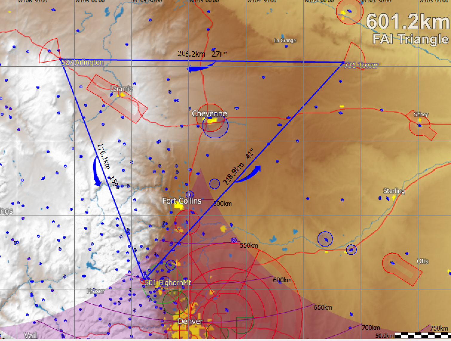
Here’s the task I declared: Start and Finish at 501 Bighorn Mountain (just west of Boulder);TP1 at 731 Tower half-way between Kimball and Scottsbluff (all in Nebraska); and TP2 at 527 Arlington, Wyoming.
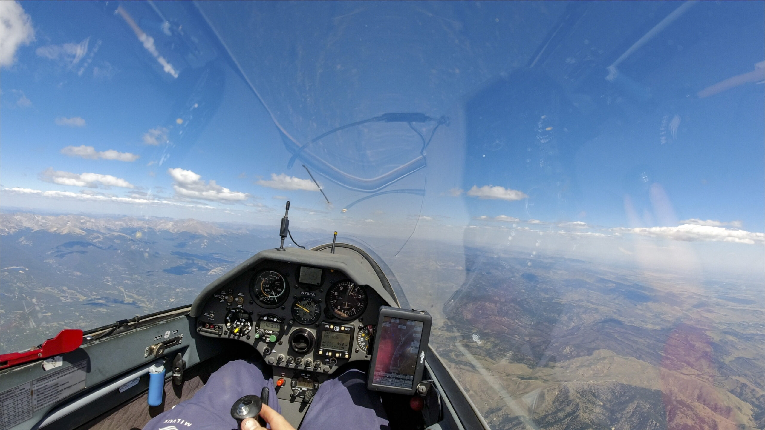
I launched at 10:42am – relatively early for Boulder – and the sky was already looking very nice. Surprisingly, there were even clouds to the south where it was forecast to remain blue all day.

Lift became noticeable as soon as we approached the foothills. There was no need for a big mountain tow despite the early start. I release from tow south of Altona, just north of Boulder.

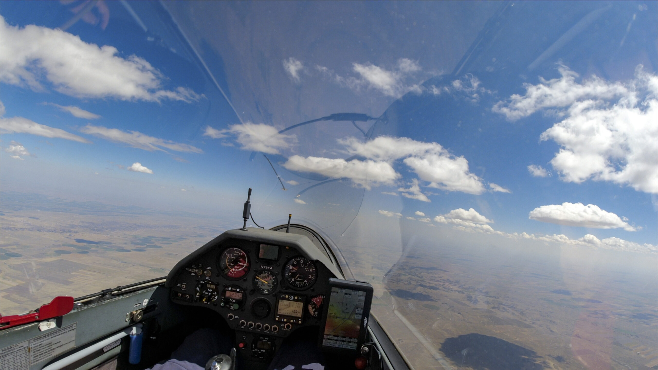
It doesn’t take long to climb and connect with the clouds. At 11:15 am I cross the start line and head out on task.
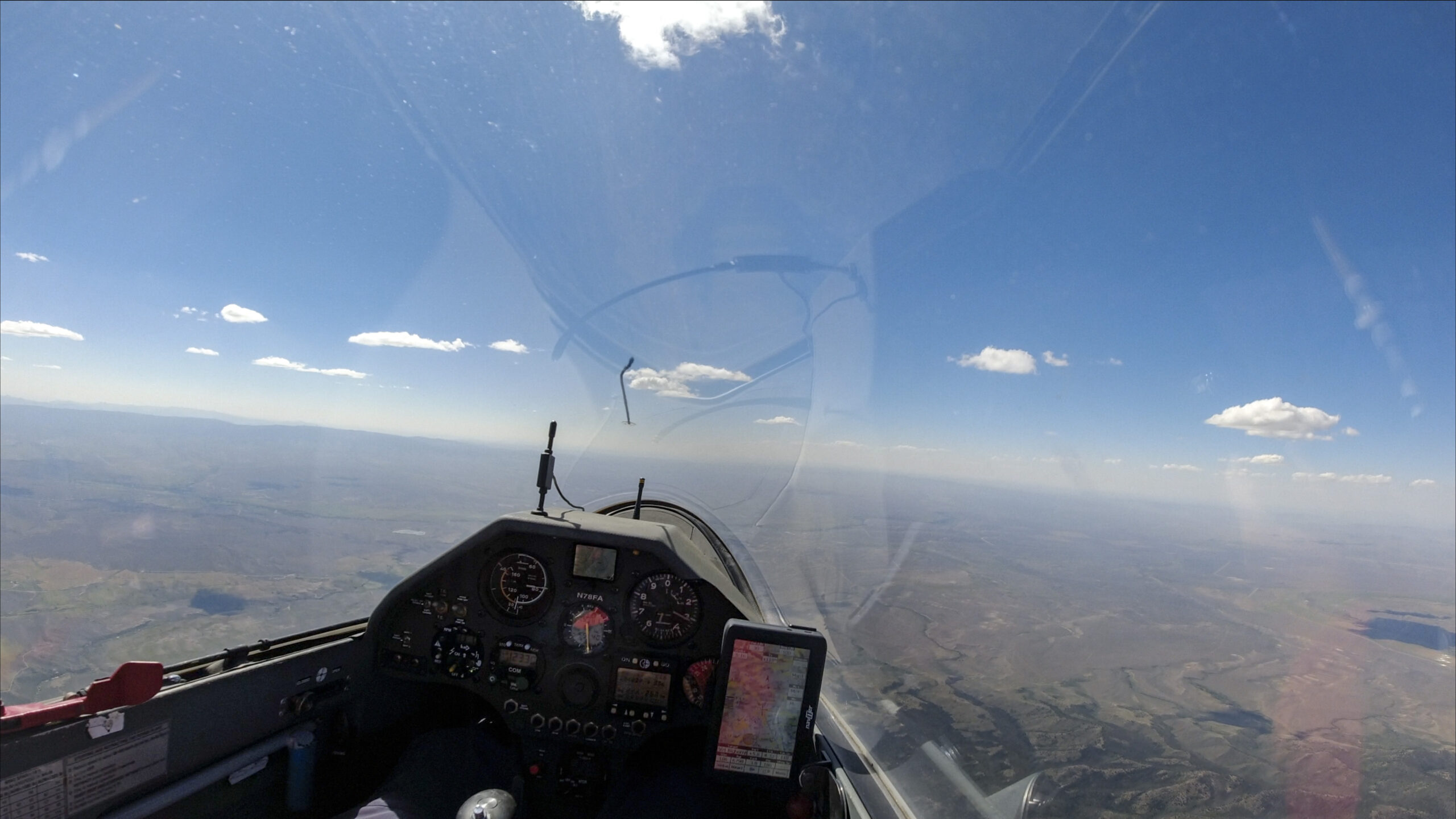
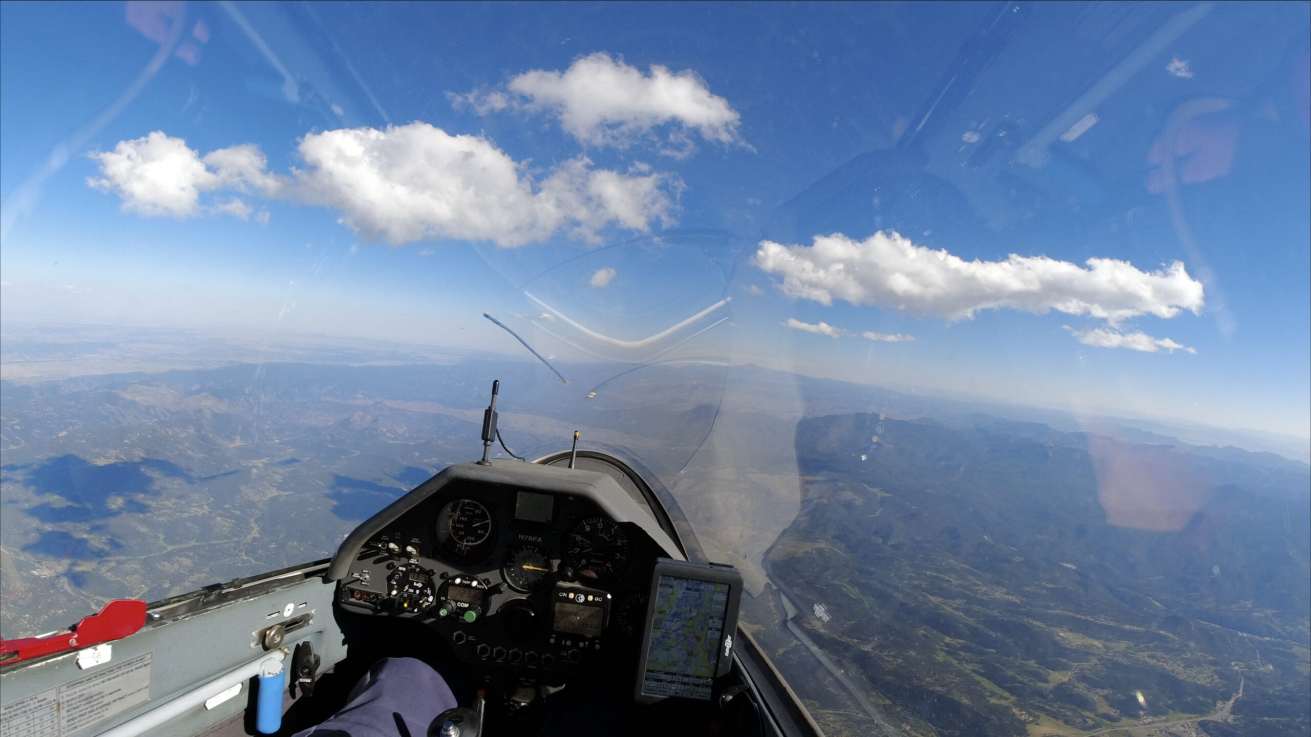
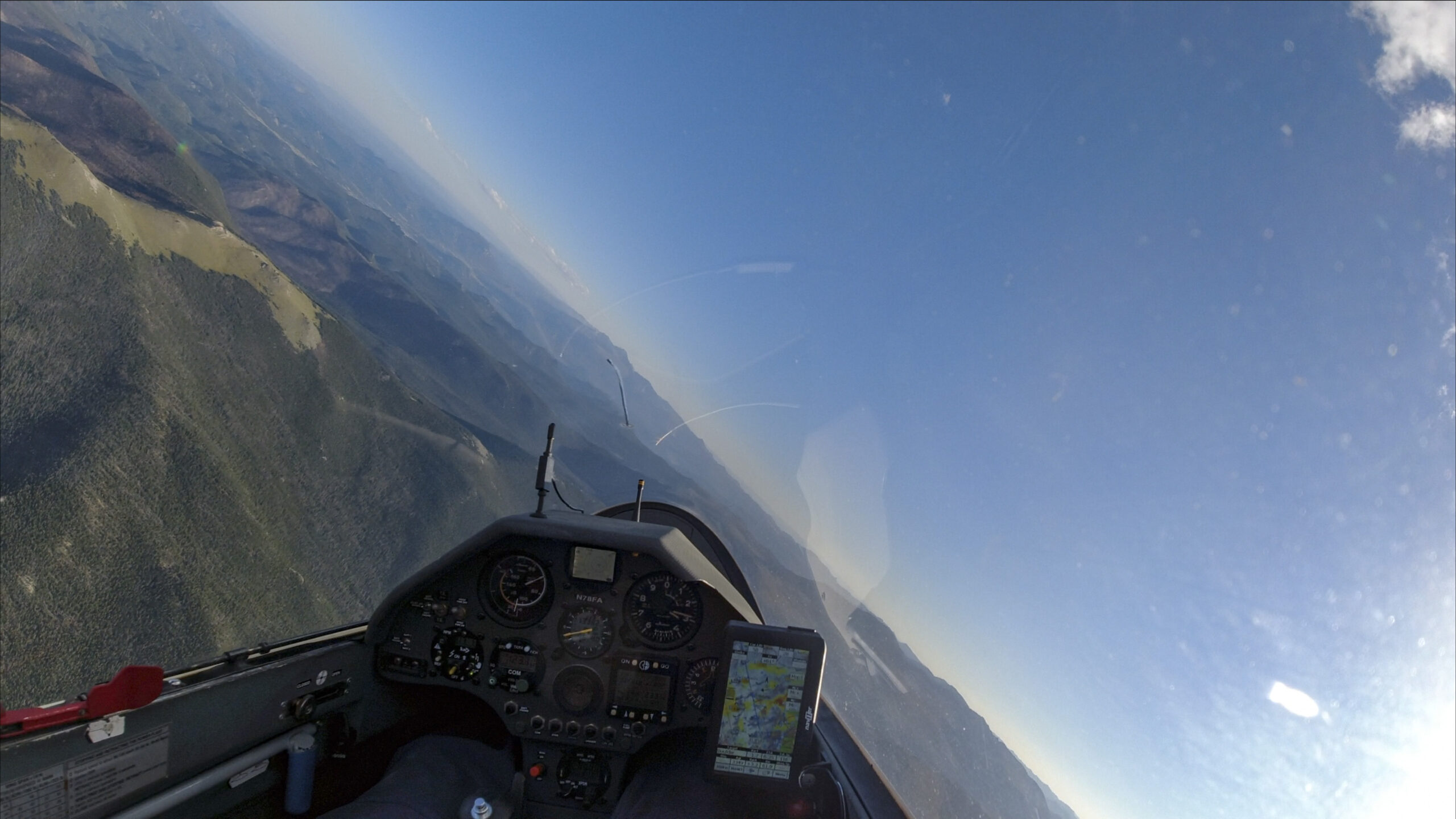
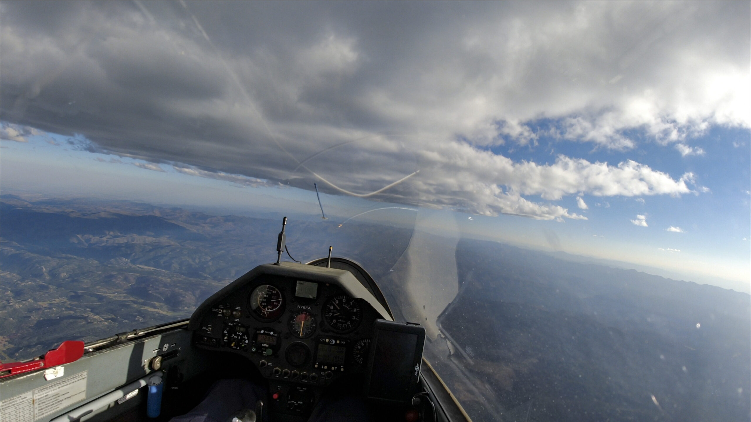
20 minutes later I am already past the clouds that you could see in the picture above. The sky ahead looks less inviting than I had hoped. I briefly wonder whether I should abandon the task and “just fly per the clouds” but then I decide that I like the challenge and declare to myself that “I’m going for it.”
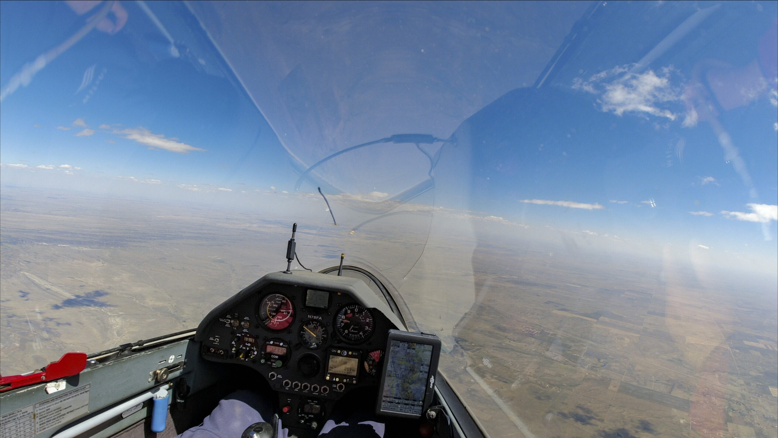
As expected, the gap wasn’t a big deal for my glider. I only lost 2,500 ft during the transition and I am still at 8,500 ft above the ground. And there is a beautiful street ahead, stretching far into the distance towards my turnpoint.
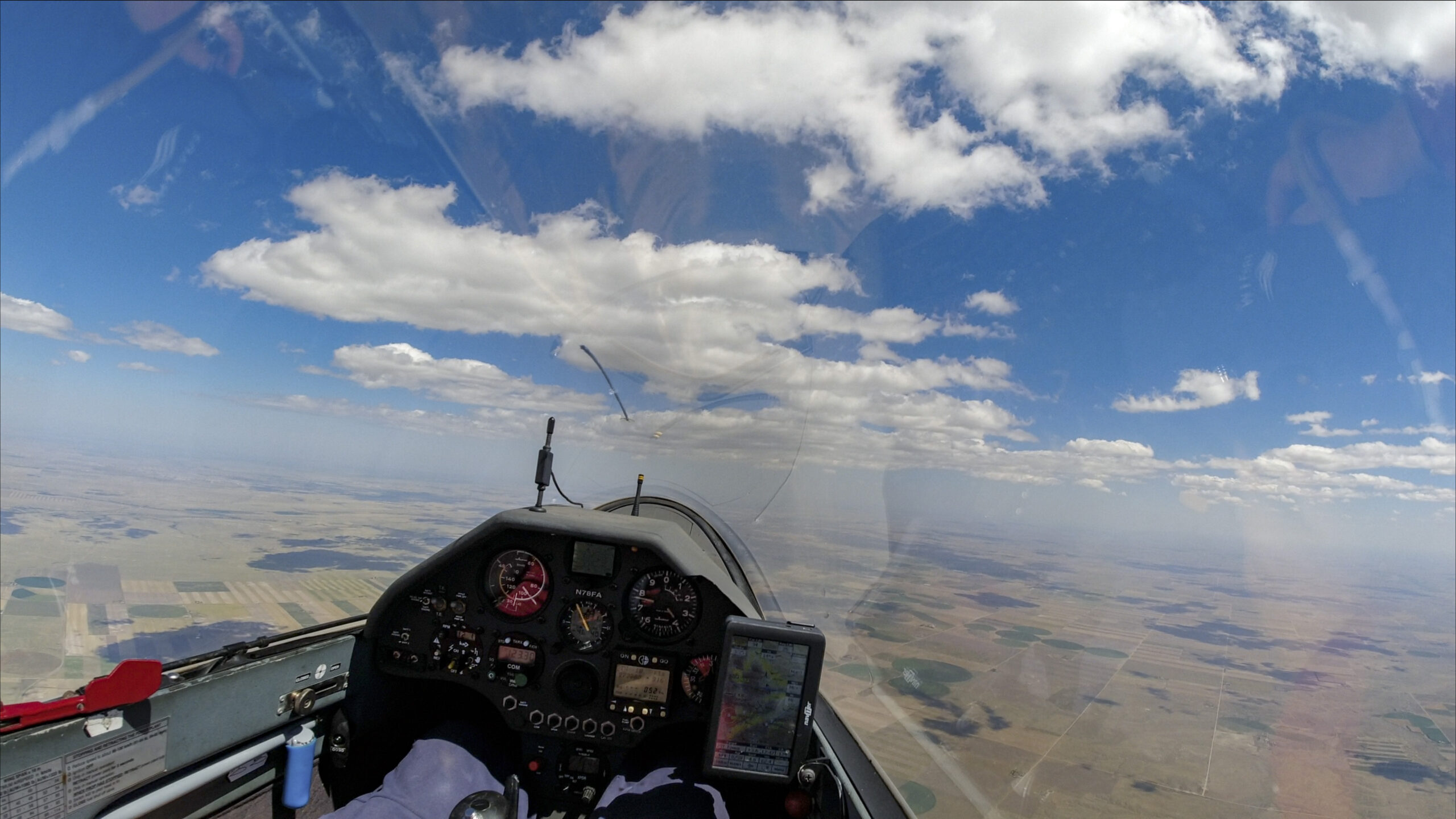
The next 100 km towards the turnpoint are quite uneventul. The line of clouds is along a weak convergence zone where thermals are easily triggered. The lift isn’t very strong (typically 4-6 kts) but fairly reliable. I am also benefitting from a tailwind of 10-15 kts so I make quick progress.
The three things on my mind are: (1) Will the clouds go all the way to the turnpoint? (2) How will I do going back into a headwind? and (3) Will clouds develop towards my second turnpoint – so far much of the sky to the north has been blue.
With respect to the expected headwind, I remind myself that it is still early in the day – before 1 pm – and that the thermal strength should considerably improve within the next hour.
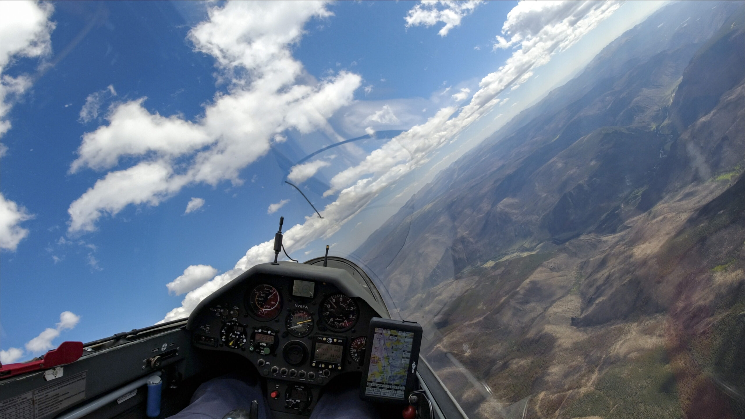
I round TP just a few minutes past 1 pm. During the first 30-40 km I backtrack to the southwest along the same path that I used on the first leg. In the meantime a nice line of clouds has developed to the west.
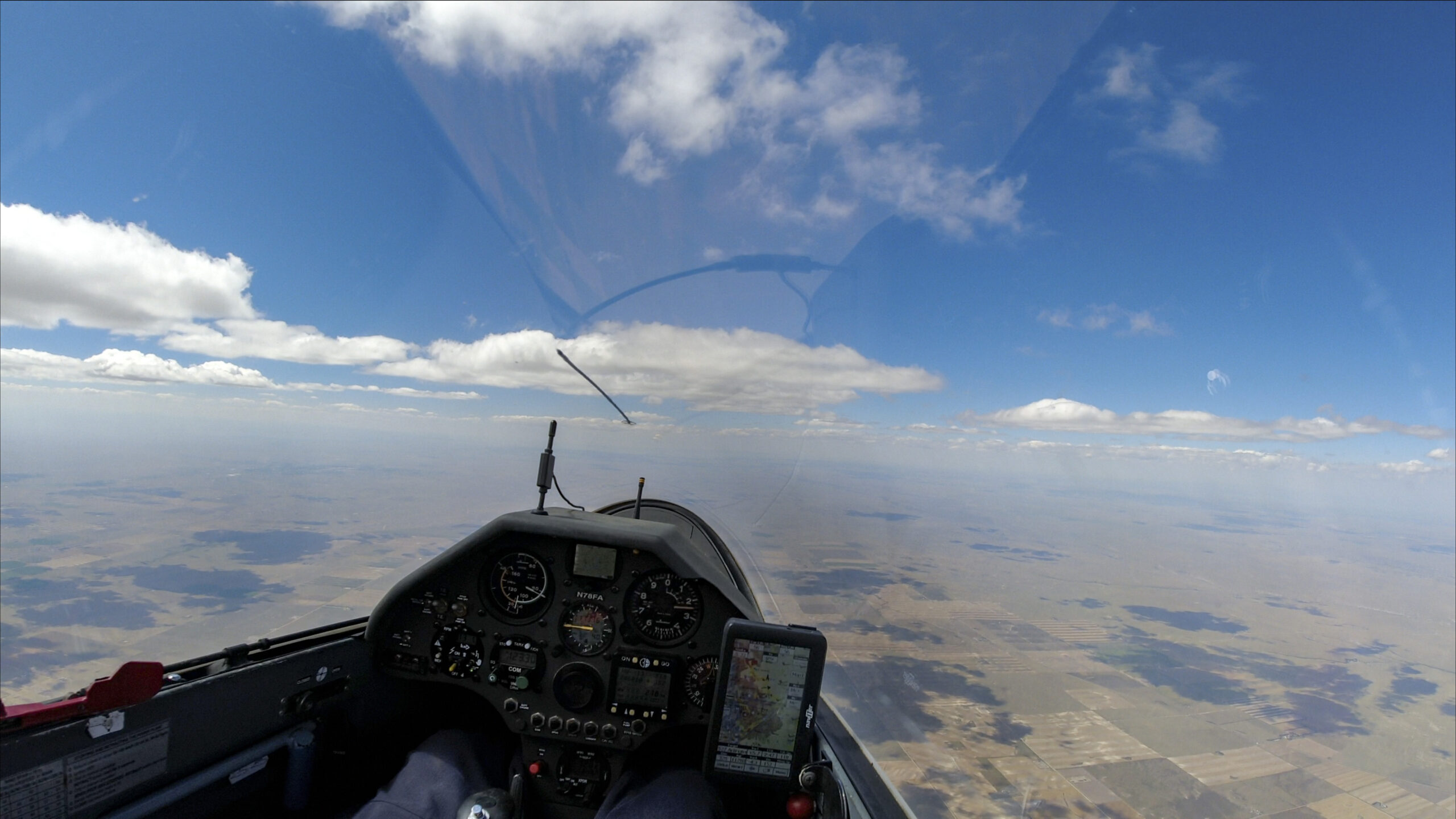
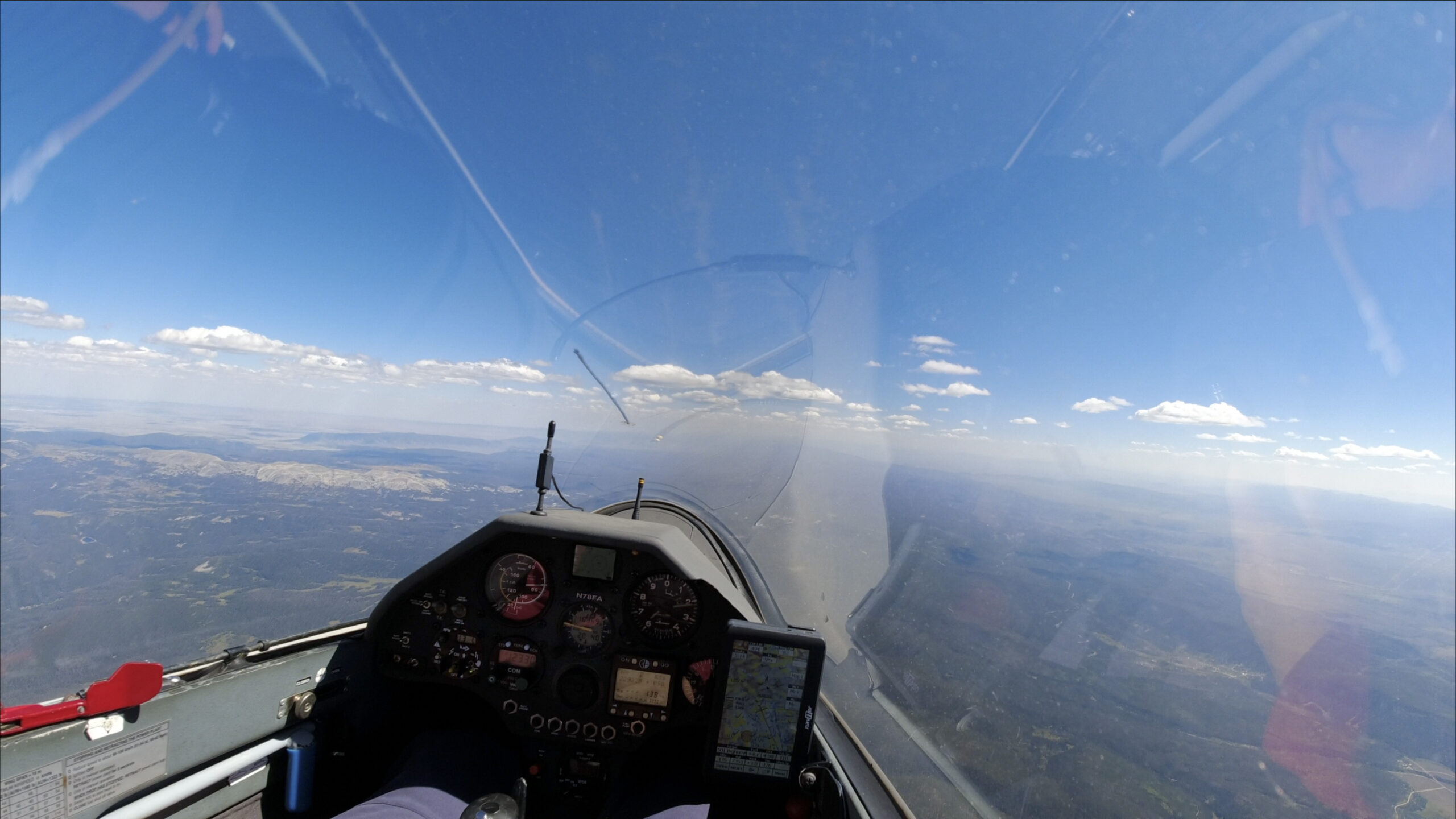
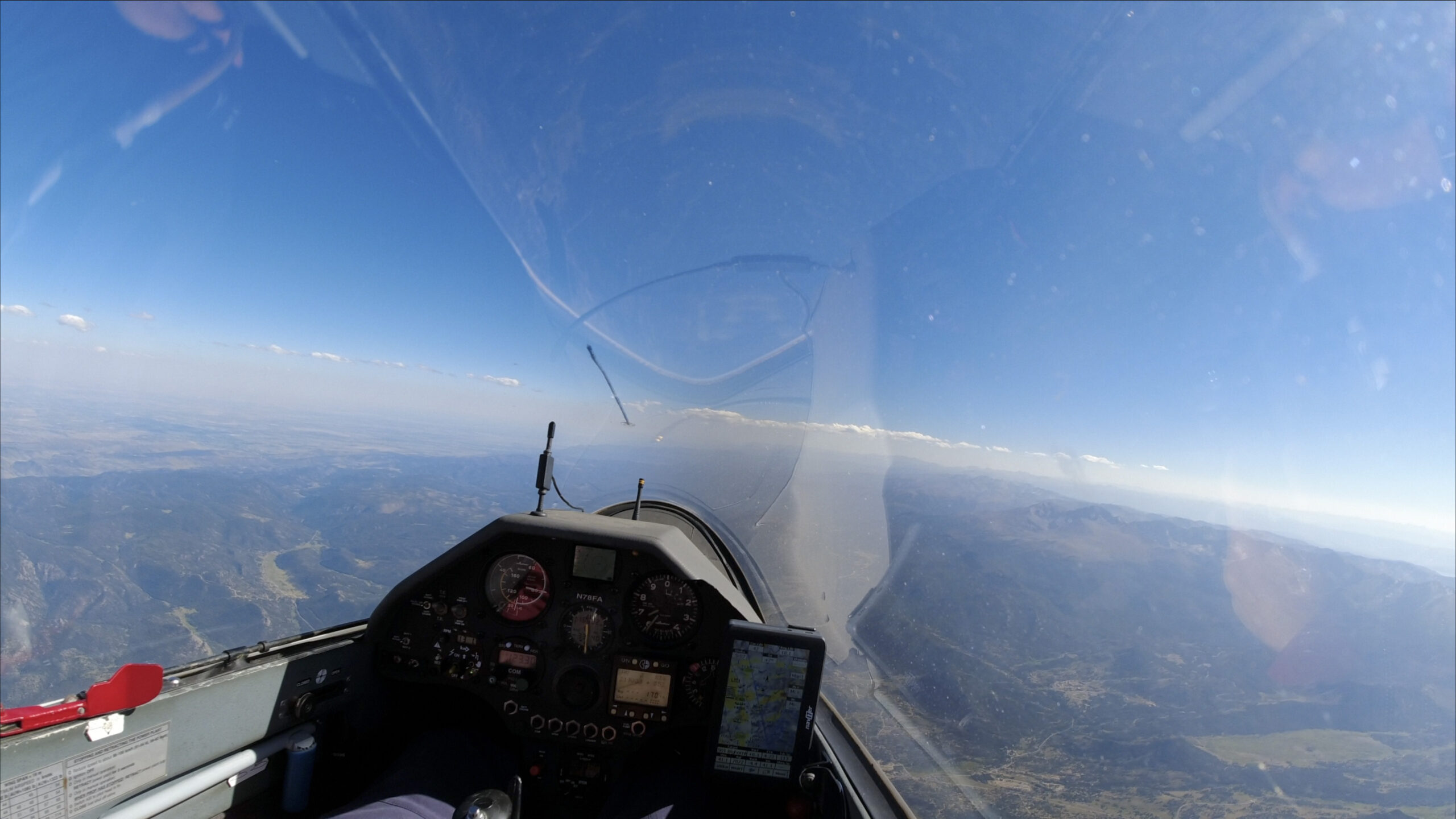
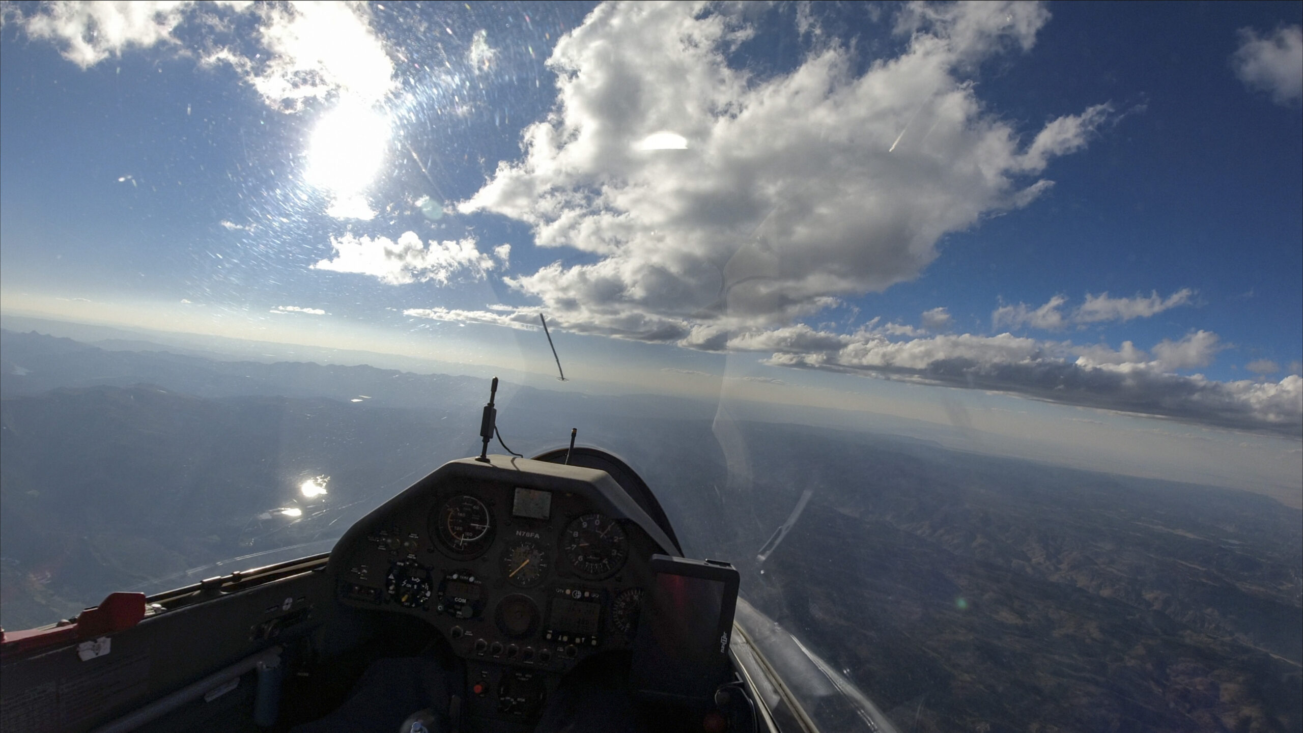
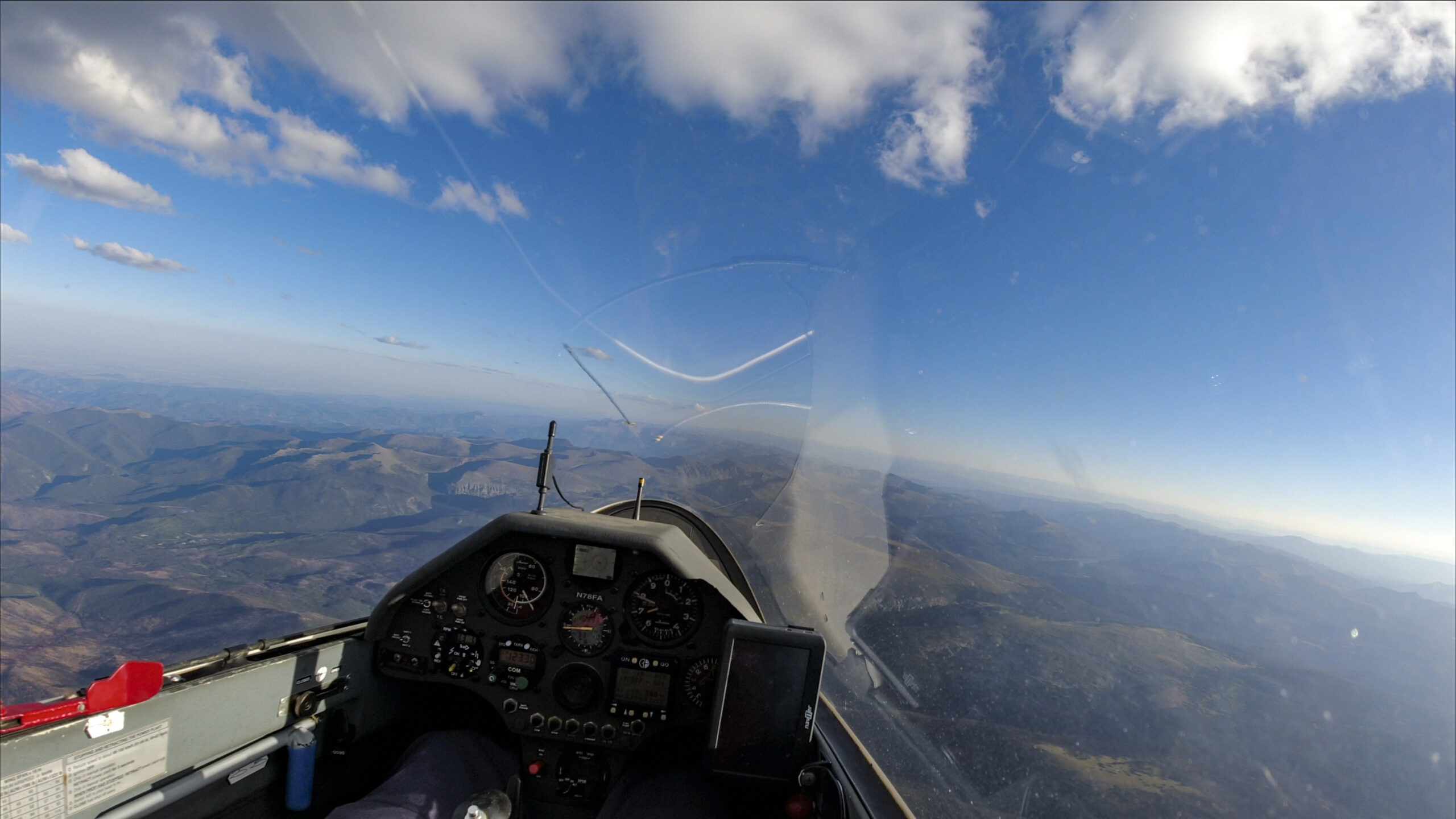
When I reach the end of the line I am greeted with another blue gap but cloud bases have lifted to well above 18,000 feet and the next clouds look to be in easy glide range.
When the sky ahead looks like this it is time to step on the gas – I mean, push the stick forward and fly faster so I can make use of the great lift that is almost certain to come.
The line of clouds in the last picture was good, but nowhere near as good as I thought it would be. I kept pressing on expecting to find an 8-12kt climb but it never came. As a result I dropped below 13,000 feet over the Laramie basin and now I have to climb, even if it’s only in 3-4 kts. At least it’s beautiful down there 🙂

After getting back up near cloud base, things are easy again. I cruise from cloud to cloud and quickly reach my second turnpoint, Arlington, at the north-west side of the Laramie basin. There are good looking clouds between Medicine Bow Peak and Elk Mountain so I keep pushing west to lengthen my second leg and thereby increase my triangle distance. (The extra distance will reduce the average speed of my declared task but I haven’t been flying fast enough for a possible state record so I don’t mind.)
I keep going west as long as there is a line of good clouds, which is on the east side of the Saratoga Valley. That’s where I decide to turn south again. (I briefly considered crossing the Saratoga Valley to the clouds ahead above the Sierra Madre (of Wyoming) but I was worried about the day possibly ending early and not making it back home. It would also have reduced my task speed as there would likely be sink during the valley crossing.)
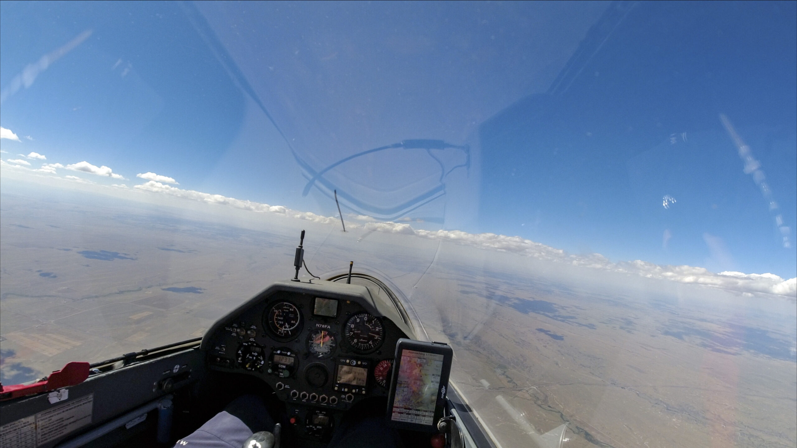
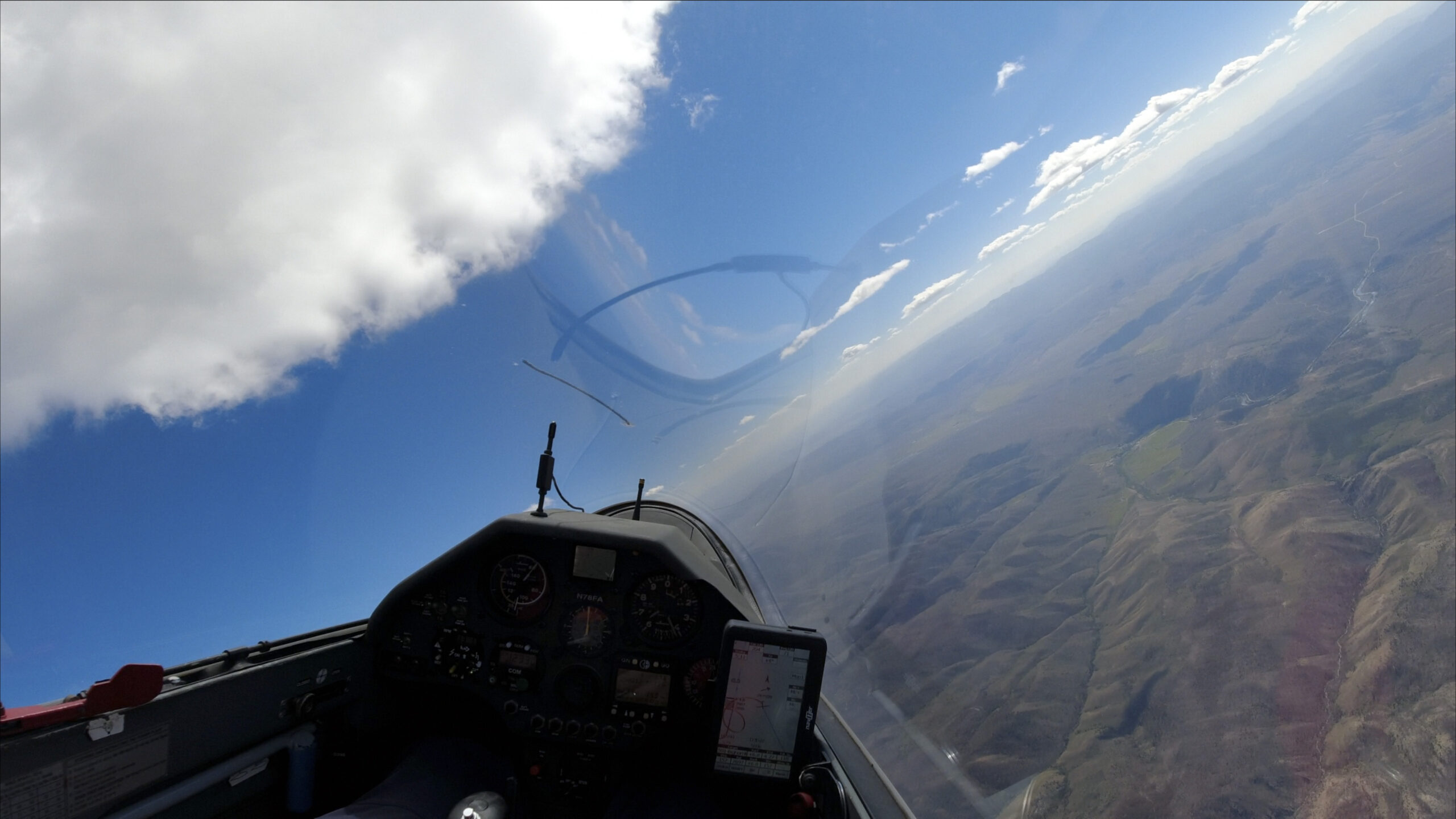
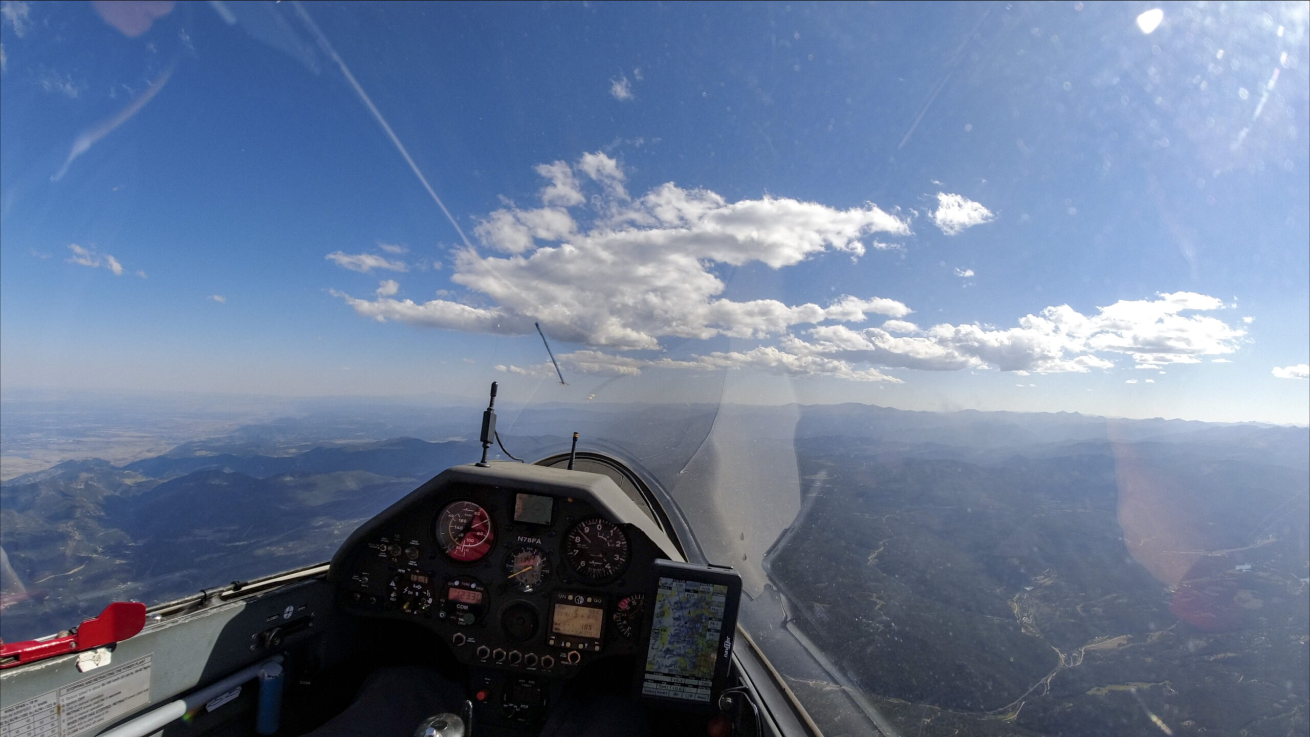
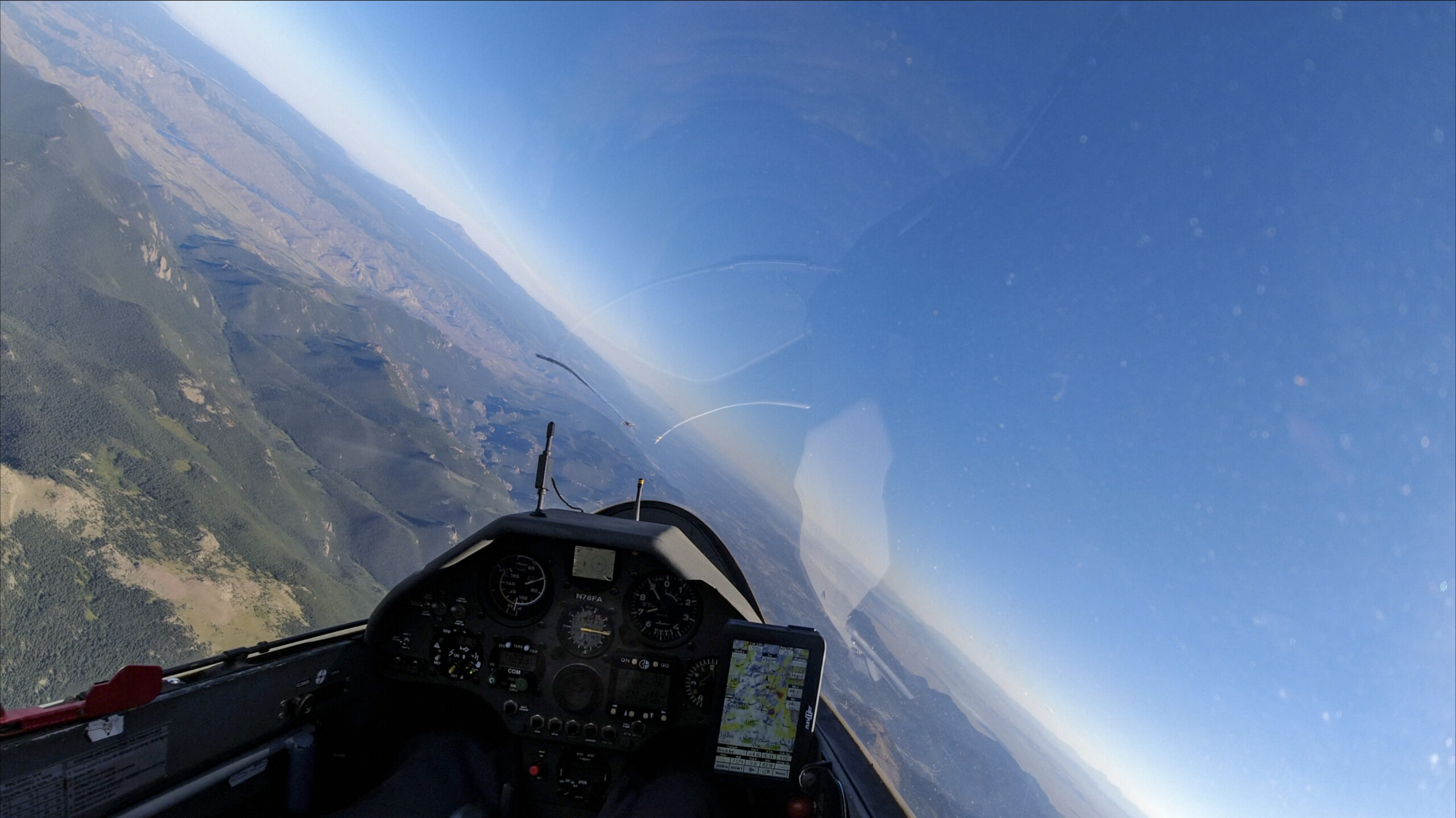
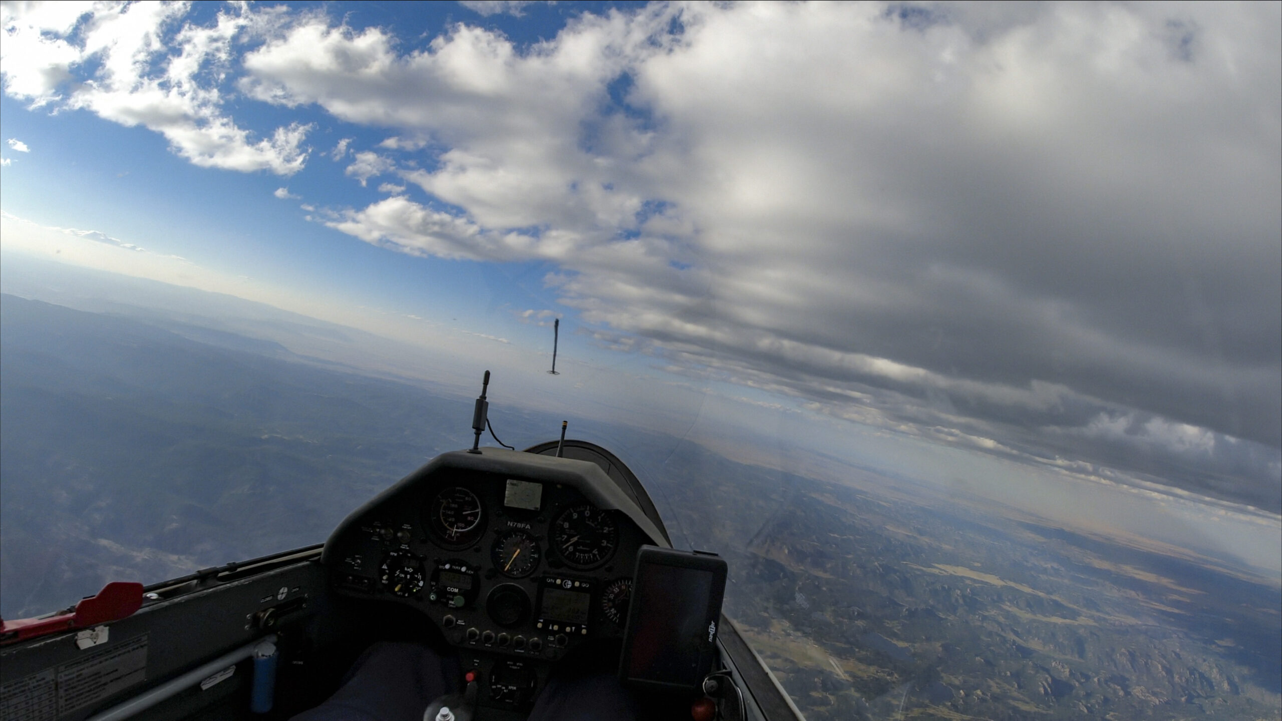
This is what the sky looked like after my turn south. The clouds appear to be thinning out even though it is only just a little past 3pm in the afternoon. Conditions should still be strong but you can never be sure… What is the best line to take?
I am intrigued by the line of small clouds to the right of my nose and along the western (sunny) edge of the Medicine Bow Mountains. In addition, that’s where Skysight is forecasting a convergence line right for this time. I decide to head in that direction and observe the air as I go. I can always make adjustments to my routing if it doesn’t work.
As I head south I can see to my delight that the small line of clouds is rapidly developing. Just south of Medicine Bow Peak I stop to refuel my altitude tank under this pretty little cloud.
As I leave the climb, the next clouds ahead on the right have developed nicely as well. So guess where I headed next 🙂
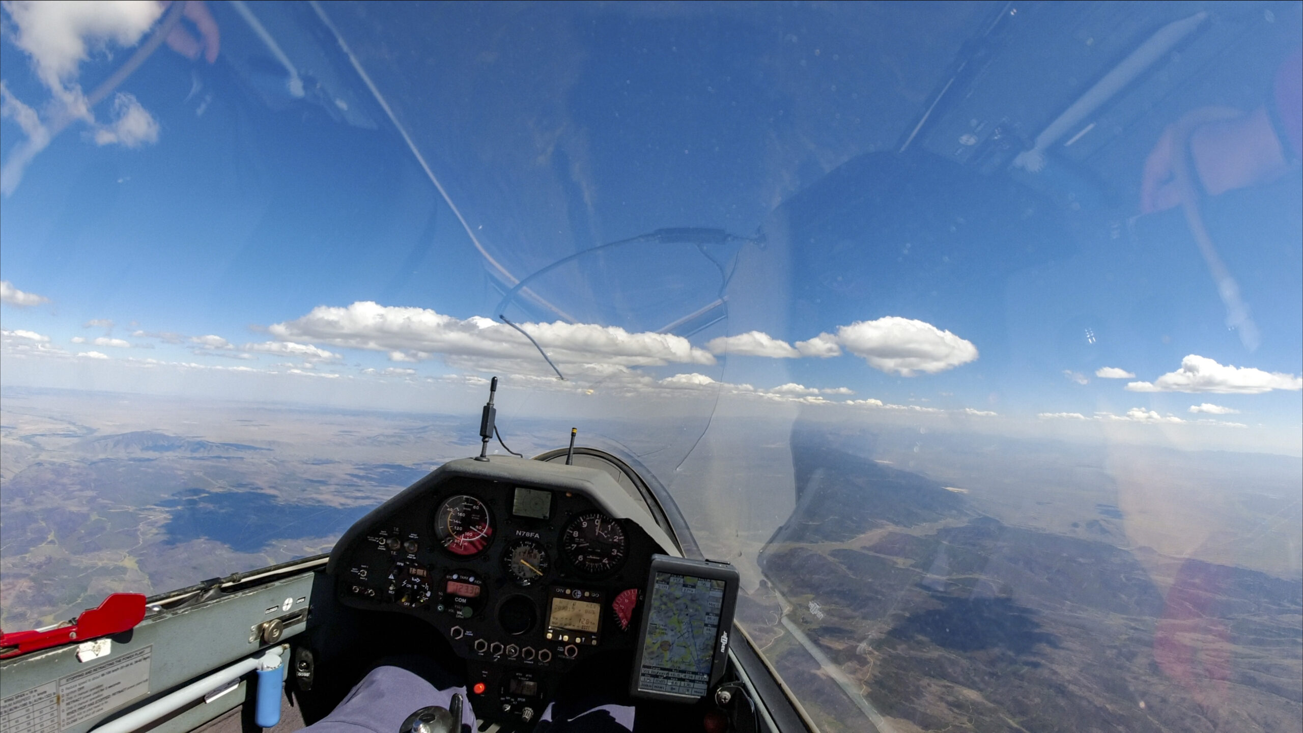
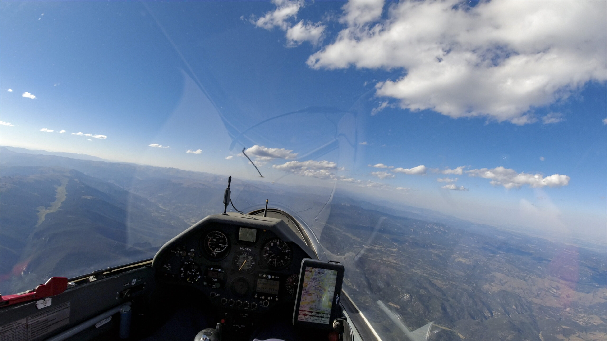
After making it around the pretty cloud in the picture above I veer left to join the line of clouds that bends to the right towards Boulder. This is a very common energy line, which is induced by convergence enhanced thermals on the lee side of the Continental Divide, can enable an easy and quick run along the mountains.

Unfortunately my timing is a bit off and the beautiful like of clouds in the picture above is in the process of falling apart as I am in the midst of a down-cycle. Will thermals start up again? It’s almost 4pm in late August and I am not sure. Most recently we had several days ending shortly after 4pm already.
I am just below final glide to Boulder and decide to take a weakish climb above the Poudre Valley. There are better looking clouds ahead near Lookout Mountain but I need some additional altitude to get there safely without having to shift east (which could push me out of the energy line).
I only took the weak climb as high as I needed to reach the good clouds near Lookout Mountain (north of Estes Park).
I now have enough altitude to finish my task at Bighorn Mountain and get back to Boulder. But I wonder if I can extend my triangle by flying past Boulder to the south. As I approach Estes Park the sky ahead becomes completely blue.
I still want to give it a go so I decide to tank all the way up under the last cloud and see if I can make it to the line of clouds that look to be 70 km further south over Thorodin Mountain.

As I head out towards Estes Park, the clouds continue to thin out further. I dial my speed back to 80 kts and fly in flap setting 1 to conserve altitude. Maybe it’ll work. Maybe not.
As I get closer I can see that my estimate was correct – the first clouds are indeed over Thorodin Mountain. I managed my energy quite well and am still at 14,000 ft. I am now quite confident that I can make it. And the line looks very much like the typical convergence line. If I can get up, I should be able to find lift along the west edge of the line of clouds ahead.
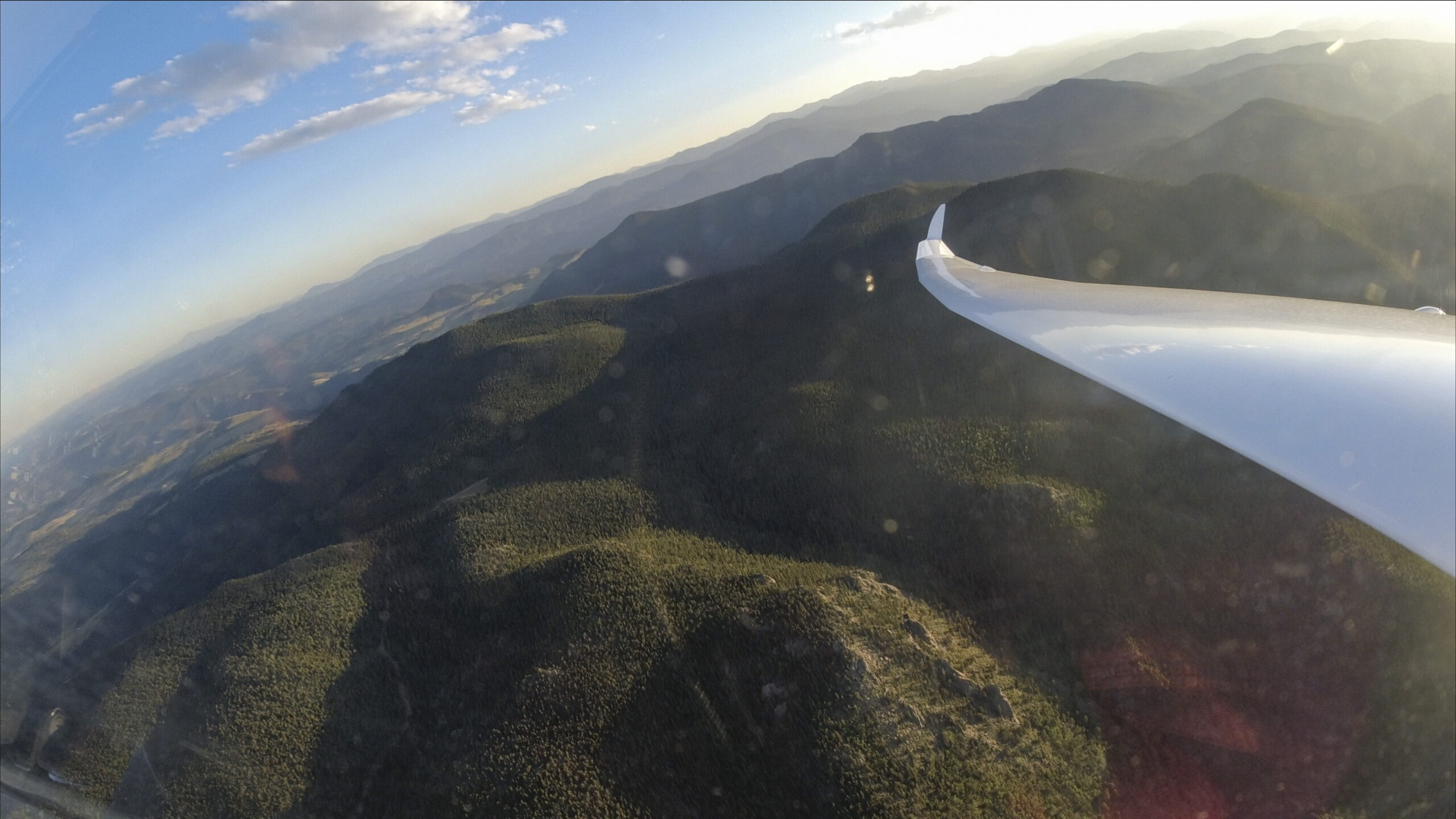
I am down to 13,000 feet as I reach Thorodin Mountain and the beautiful line of clouds that mark the convergence. The line works even better than it looks. One of the strongest climbs of the day (9+ kts average) takes me back to 17,000 ft and I can continue to surf the line. As so often, it swerves a little to the SSW before veering left and stretching slightly to the SSE. The trick is to follow this line just along the western edge of the clouds.
15 minutes after leaving Thorodin Mountain I am already past Mount Evans and heading towards Bailey. And there are still several clouds ahead. I am keenly aware at this point that the lift could end at any time. But as long as I can maintain this altitude, I figure I can go to the last cloud in the distance and still keep Boulder in glide range.
I am getting exited about the size of my triangle. It is getting close to 750 km (provided I can make it back) and with every kilometer that I move further south, it grows by almost two kilometers. If I make it to the end of the clouds, it will most definitely be bigger than 800 km.
I do indeed reach the end of the last cloud. Only once the sky ahead is entirely blue do I decide to turn. My flight computer shows that I still have Boulder in easy glide at MC 4 with an arrival altitude of approx. 2500 ft.
I haven’t turned in quite some time and don’t really know what the sky behind looks like, but once I complete the turn, the convergence line is still well marked by the clouds. All I need to do is the same as before – stay on the western edge of the clouds and progress in lift 🙂
This is the first time in the flight that the number 1000 starts creeping in my head. Could it be possible?
I have really only flown three major legs so far and I am about to start my fourth. I have flown more than 700 km already and by the time I get back to Boulder I will reach a little over 800 km in total distance. That means I would have to pass Boulder and fly an even greater distance away from Boulder to the north, i.e. in the opposite direction, and then still have enough altitude to make it back.
No. I conclude it is not possible.
Then I check my watch. It says the sun sets at 7:45 pm and it is only 5:10 pm. I have 2 hour and 35 minutes to fly close to 300 km. If I can maintain my average speed that would work quite easily. But how could I maintain my average speed as the lift is dying? And how could I even get past Boulder to the north? It was already difficult to get to the south.
No, it is not possible.
But my longest flight so far is just over 900km. Can I beat that?
Near Mount Evans the convergence line has moved further west. If the clouds move, the best thing to do is move as well… I’m still maintaining 17,000 ft!

But, just as before, the line of clouds ends. Near Rollinsville I can top up my altitude to 16,500 ft under the last whisps. Then the sky to the north ahead is completely blue. However, on the horizon there are still some clouds in the distance.
These clouds are at least 70 km away. It seems to be the same problem as before, just in reverse. However, this time it is much harder. Previously, as I was on my way to the south I could easily keep the airport in Boulder in glide. Now this seems impossible.
But who knows. Maybe I get lucky and find lift in the blue. I resolve to move ahead and turn before Boulder drops out of glide range.

I don’t find a climb in the blue. But I get extremely lucky otherwise. There is just slightly lifting air everywhere above the hills. My computer gives me a glide ratio of somewhere between 50:1 to 70:1. That means I don’t lose all that much altitude as I move forward.
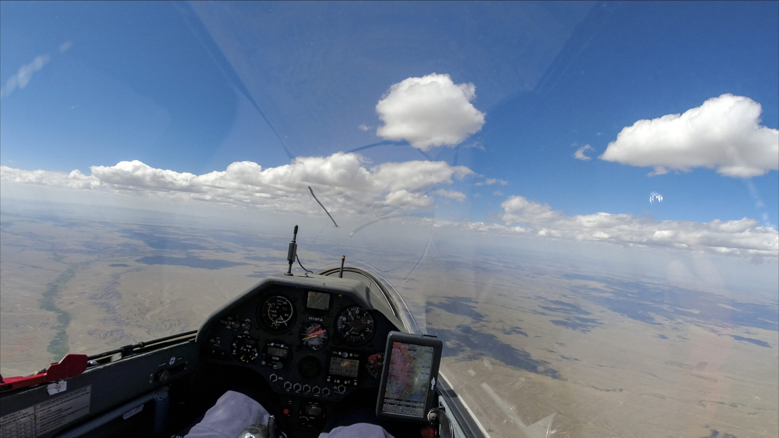
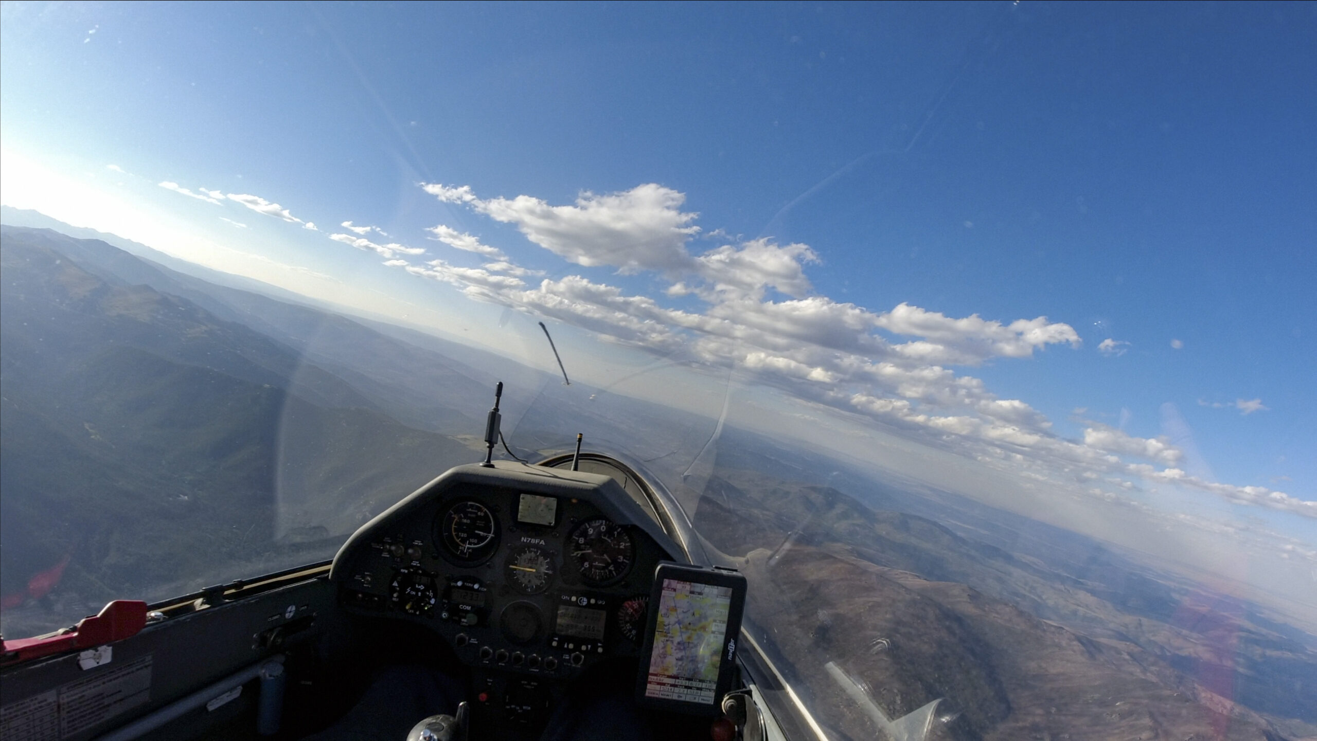
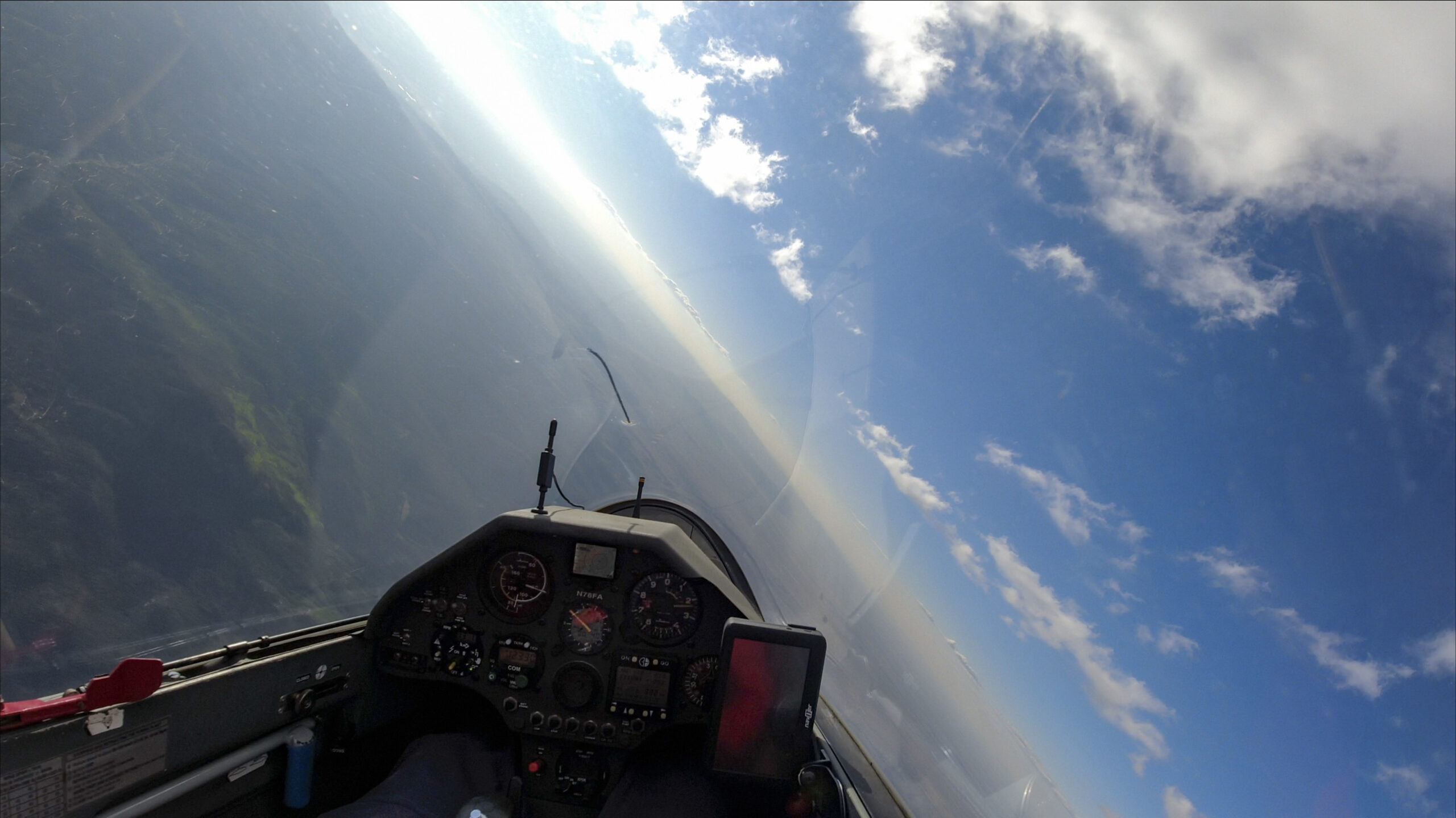
55 km into the 70 km glide, the view is as shown in the image below. I am now down to 13,700 ft. The clouds looked a lot better 5 minutes ago and seem to be falling apart. I still have Boulder in glide but if I push to the clouds ahead I am likely to get out of glide range.
Should I try it? What are the odds that it works? Given the levity of the air that I’ve been feeling I feel optimistic and think it’s clearly better than 50%. And I have a backup plan. If it doesn’t work I will have to divert to Christman. And on the way there I can still sample a few other clouds.
I reach the clouds at 13,000 ft. Yay, there is still lift! It starts with a weak bubble at 1-2 kts but as I correct into the wind I find another bubble and soon I find myself in a solid 4-5 kts all the way to 17,000 ft! Who would have thought?
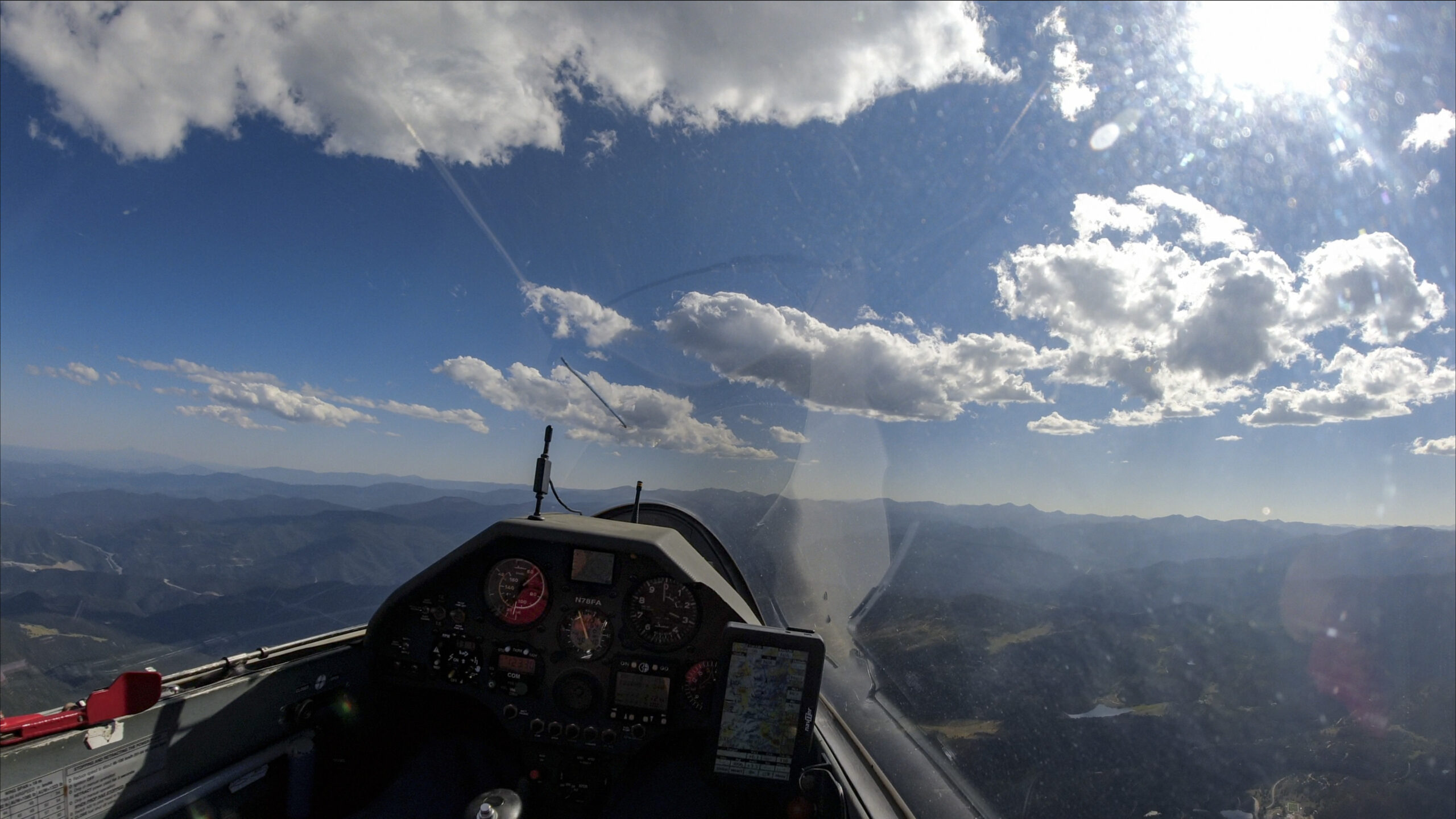
Back up near cloud base, looking north-west the sky looks still surprisingly promising. And now that I have several thousand feet of altitude to work with I want to at least see if I can move ahead and maintain altitude.
As I get to the western edge of the clouds, the look of the street actually keeps improving. This is truly as good as it gets at this time of the day!
Now the magic 1000 number is back in my head. How far do I have to go north before I can turn back and make it. I look at my flight computer to work it out but it just went blank! I have been flying for 7 1/2 hours and the battery is depleted. It gave me some warnings a while ago but there is nothing I can do.
I try to remember what the last kilometer count was but I am not sure. It must have been above 850 km, so it’s now probably a little more. It’s maybe another 30 km to Red Feather Lakes and I know from there is around 90 km to Boulder.
I have to accept the fact that I can’t know for sure. So I’ll just have to keep going and turn before I lose Boulder from glide.
Shoot! How will I know if Boulder is in glide when I don’t have a computer? And I don’t have a computer. But I have thought about this often enough to know that as long as I am close to 17,000 ft I should be able to go close to the Wyoming border.
What’s the wind? That could impact the final glide. It kept changing. South of My Evans it was out of the southwest. But as I look the street ahead it looks more like it is out of the northwest. But I’m not sure. Ultimately I decide it is light enough that it won’t make a big difference.
The street works its magic and I can maintain altitude in straight flight at just around 17,000 feet. I take it all the way until the clouds thin out so much that I lose confidence and turn around.
After the turn, the street to the south looks just as good as it did going north. It is now 6:30pm. 1:15 until sunset and about 100 km to go. This really is my lucky day 🙂
As I race south, not much has changed except that the clouds end soon after I cross the Poudre Canyon. But I am still at close to 17,000 feet which is far more altitude than I need to get to Boulder.
The sun is getting low as I pass Longs Peak.

As I fly further south I still wonder if I have have made enough distance to make it over the magic 1000 km mark.
One complication is the fact that the flight computer always calculates the distance flown based on the six longest legs up to the current point. This means that the more legs I add, prior legs get straightened out. This de facto reduces the amount of kilometers officially flown because a maximum of six straight legs is used to calculate the total distance. Without a working computer there is no way to estimate my official distance flown with any kind of precision.
I still have plenty of altitude as I fly above the foothills west of Boulder and decide that I will extend this last leg further towards Golden, just to make sure that I don’t end up short. I also still have more than 30 minutes left until sunset.
This decision to extend the flight further is a bit of a struggle against my personal comfort. I have now been in the cockpit for 8 1/2 hours and I actually really want to be back on the ground and stretch my legs. But I know I would regret it if I end up short.
I keep going until I am more than half way between Boulder and Golden and then my growing discomfort outweighs my diminishing concerns about potentially coming short. I still have almost 11,000 ft (almost 5000 ft more than pattern altitude) when I make my final turn back towards Boulder.
Even before I get back to the Flarirons, I dump the water, complete my landing check, and extend the gear. I also crack open the spoilers to descend more quickly. Now I really want to get back on the ground.

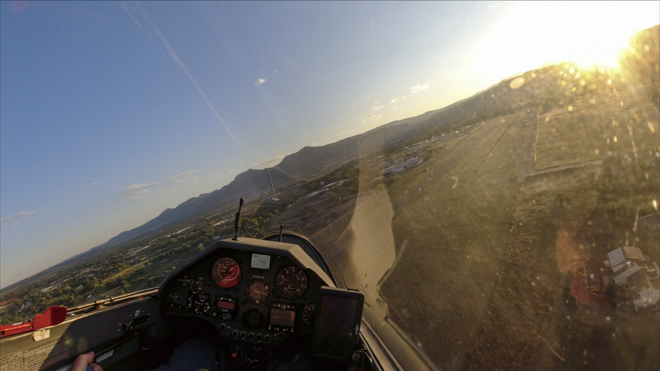
But as I approach Boulder the beauty of a landing at sunset outweighs any discomfort once again and I really enjoy the views. The air is completely still. Except for one airplane practicing touch and gos there is no traffic or radio chatter and the world looks serenely peaceful below.
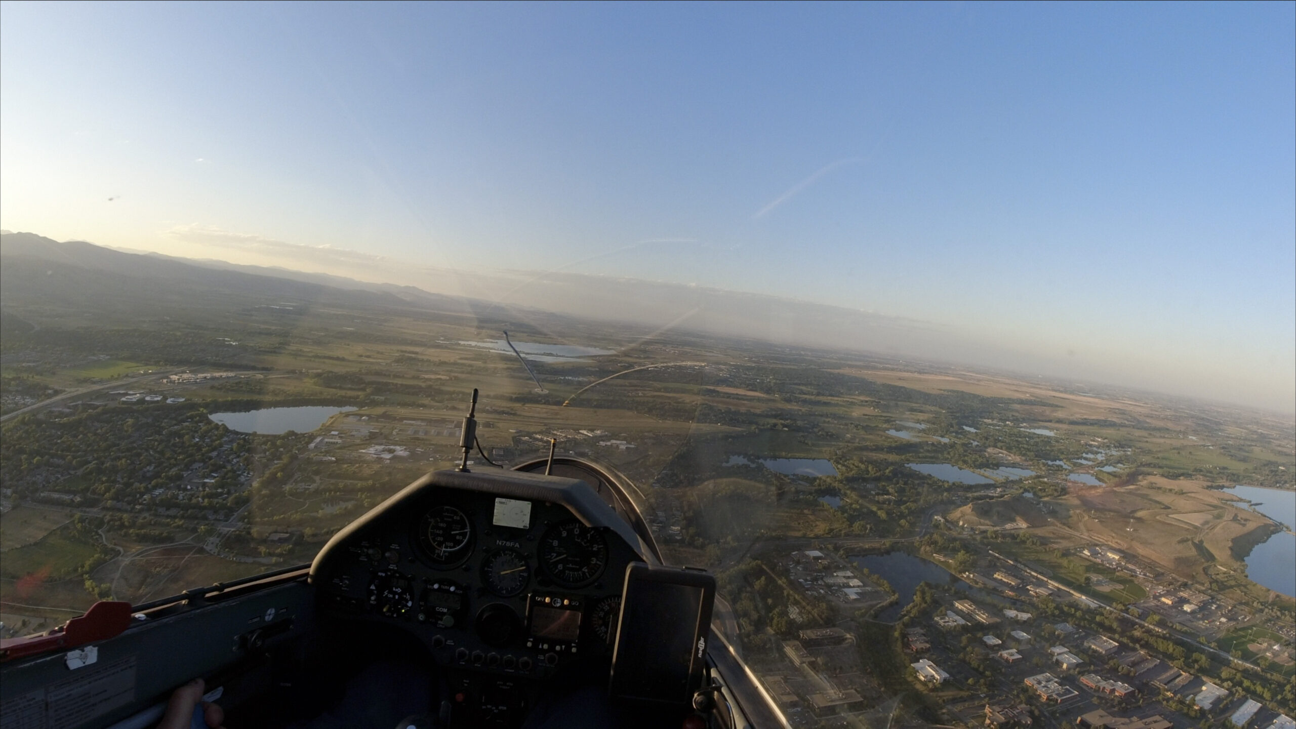
The sun sets behind the Continental Divide just as I make my final turn to glider runway 26.
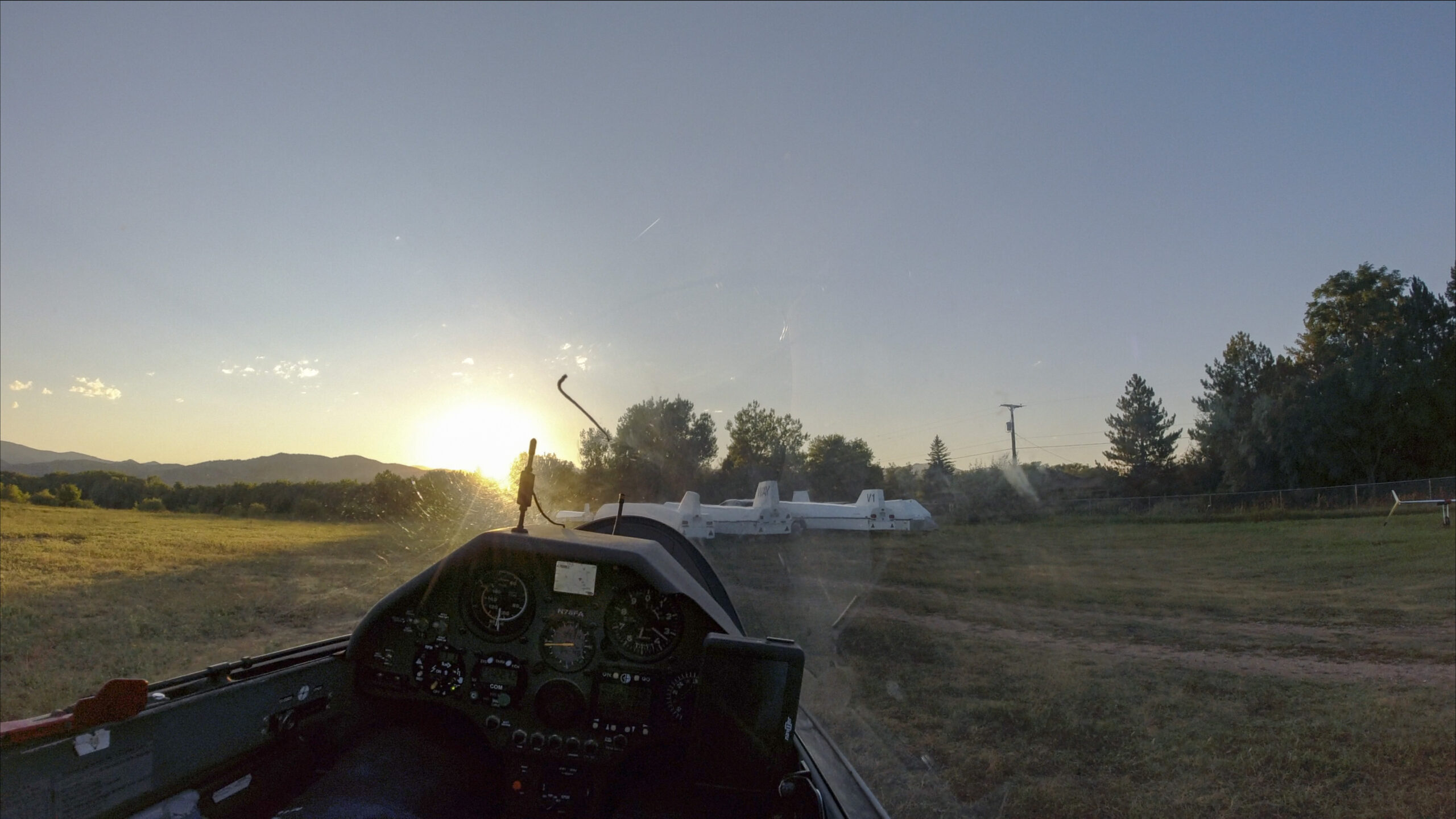
The airport is already completely deserted as I roll up towards my tie down spot and the sun disappears behind the horizon.
While I secure the glider I still wonder what goals I actually accomplished. I only know for sure that I was in Nebraska and that I completed the 600 km declared FAI triangle. But how big is the extended triangle and what is the overall length of the flight based on the six-leg rule? I won’t know until I upload the file from my Flarm to my computer at home.
Once the flight is uploaded I am delighted to see that my total distance is 1034.6 kilometers. I did in fact exceed the magic 1000 km mark! I probably had enough altitude to add at least 30-40 km at the end and I would have been mad at myself if I had let the opportunity go by.
I also made it to Nebraska so I can add another state reached from Boulder to my list. New Mexico, Utah, South Dakota, and Kansas are still outstanding. (Texas, Arizona, and Idaho seem to be reachable too, but it would have to take highly unusual conditions to make it back from there on the same day. I suspect I will never try…)
But to my dismay I realize that did not reach one goal that I had felt certain about – the >750km FAI triangle. And I instantly know why: I must not have properly closed the triangle after my leg to the south. What a shame! It would have been so easy! All I would have needed to do is fly a tiny bit further east when I passed Boulder on the way to Golden so that I would have crossed the initial glide path when I headed out towards my first turn point. I was so focused on the 1000 km goal that I simply did not think about it. A close look at the glide path shows that my miss is only just a tiny bit more than one single kilometer. That’s a real shame because my triangle was just a few kilometers short of 800km. Oh well, I have to keep that on my bucket list.
Flight trace on WeGlide: https://www.weglide.org/flight/99368
Flight trace on OLC: https://www.onlinecontest.org/olc-3.0/gliding/flightinfo.html?dsId=8609209
Lessons Learned
Here are some lessons learned in no particular order:
- No Smoke – Better Soaring. Skysight isn’t always overly optimistic. The declared 600km goal seemed appropriate for and well aligned with the forecast but the day obviously had a lot more potential. I believe that the absence of smoke made a huge difference. Over the last month we have seen one over-optimistic forecast after another. Wildfire smoke caused days to start developing late and ending early. Neither of these things was a problem on the day of this flight and as a result a really long task was possible.
- There is Still Lift Late in the Evening. Especially the convergence doesn’t end just because the thermals end. It can last long into the evening. I recently took a picture of the convergence line from our home well past sunset. This is a real opportunity to extend flights late in the day.
- Use the Full Day. Up until now I have not really attempted to exploit the full potential of Boulder days until the end. Most often I run out of my six legs early and then I lack the motivation to keep going when additional distance simply doesn’t count. To make full use of a day it is best to use the first leg to fly as far away from Boulder as the day confidently allows. This will leave the possibility of several legs at the end to extend the flight until the lift is really gone.
- Be More Creative. We often default to our north-south routes along the Front Range because the lift lines are reliable and we know them well. There are probably more opportunities for interesting flights to other areas – including east – than we tend to pursue.
- Close the Damn Triangle! This is not the first time I made this mistake. This time I missed it because as I was going back and forth past Boulder several times, always crossing prior flight paths, I did not remember that my first leg started at the base of the foothills and went eastwards. (Often we tow deep into the mountains and then it can be hard to reach the tow release location when coming back low on final glide. This time I was too far west late and did not come back east enough when that would have been supremely easy to do. Very unusual! But key to remember!)
- Food for long flights. I didn’t bring anything to eat on this flight and I believe that this negatively impacted my motivation at the end. 8 1/2 hours is a long time in the cockpit and it would have been smarter to eat something.
Nice flight!
Nice flight. I miss soaring in Colorado. Though flying from Inyokern the last 10+ years was great fun, and now I’m retired in Tucson. Much more challenging here so far.
I made several attempts at a 1000k FAI triangle from Kelly, but never managed to complete one. The closest was this one, but there was a thunderstorm sitting on the finish line.
https://www.onlinecontest.org/olc-3.0/gliding/flightinfo.html?dsId=594040
Wow, sehr schöner Flug und tolle Fotos! Ausgezeichneter Bericht und Analyse, wie immer!
Congratulation with your very nice flight and reaching this years goal! Thank you for sharing story and beautiful photos.
Thank you so much for the excellent write up and great pics. Sitting here in East TN dreaming about flying out west again. 92
Congradulations !