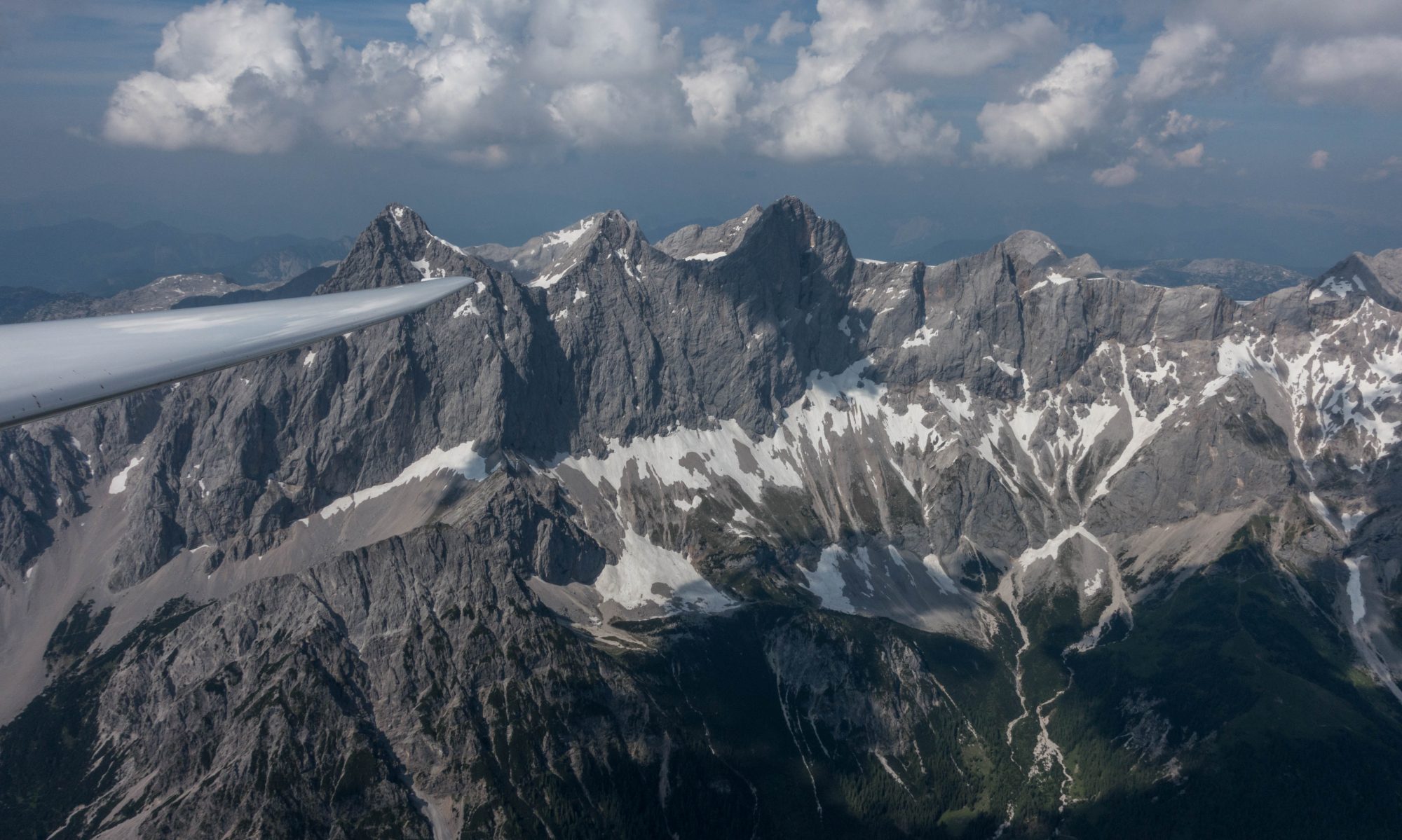
Our first flight will be in beautiful Slovenia – a small country just to the south of Austria.
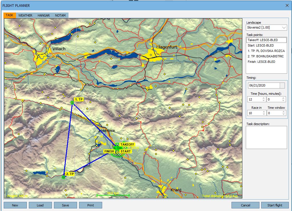
As you can see from the map below our first task is a short triangle of 63.2 km (39.3 statute miles). It starts at LESCE-BLED, the home airfield where Condor, the company, is based.
Ground elevation at Lesce-Bled is 502m (1,647 ft) MSL. Note that there will be a maximum start altitude of 2,000 m (6,562 ft) MSL.
After you enter the game you will see a count down timer at the top left of the screen that shows you the remaining Join Time. This is the time left for others to join. The start gate will open automatically 1 minute after the end of Join Time. A count down will appear at the top left of your screen.
The start gate will remain open for 30 minutes. (Once again you will see a count down). If you want to fly the task you have to cross the start line (or otherwise exit the start sector (which is a half cylinder) while the start gate is open. To do that you must be below the maximum start altitude. (The flight computer will show the start sector in red when you join the flight. When you are within the start sector and below the maximum start altitude while the start gate is open the sector will turn green.) Your task time begins when you exit the start sector. If you don’t like your start you can return to the start sector and restart as often as you like for as long as the start gate is open.
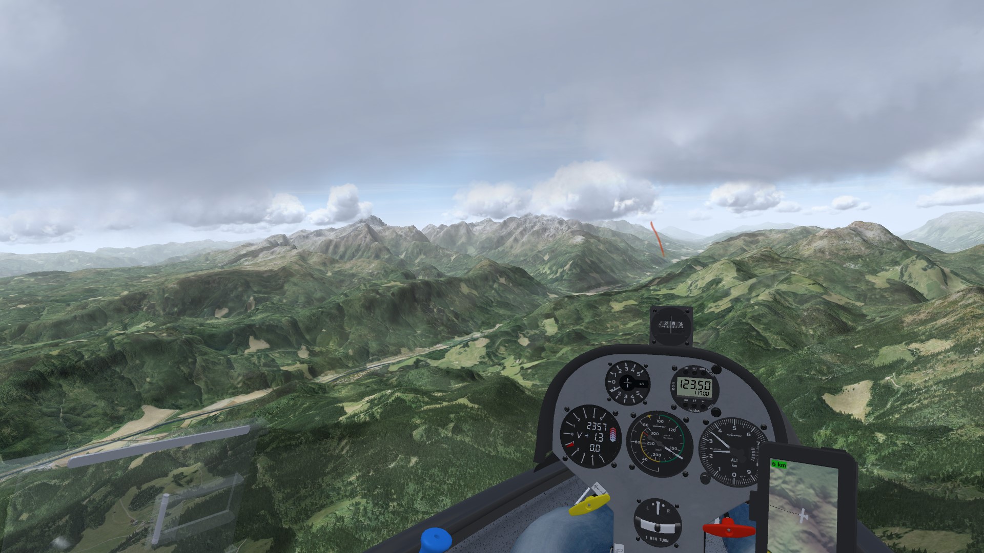
After the start you will head northwest to the first turnpoint (TP1), which is at a mountain top. You will likely have Lesce Bled in glide as you fly to TP1. There are also fields in the valley if you have to land out.
All turn points are cylinders with a 500m radius. As soon as you enter the turn cylinder it will turn from red to green. (You must round the turn-points in the correct order.)
After rounding TP1 you will fly southbound to TP2, a small village at the bottom of a valley. Note that the route from TP1 to TP2 crosses some high and unlandable terrain, somewhat similar to the foothills west of Boulder. You will also be flying into a light headwind. Try to make sure you get high and stay high as you cross this area.
After rounding TP2 you’re cruising back to the finish. There are nice landable fields in the vicinity of TP2. However, try not to get too low near TP2 if you want to make it to the finish as there is a deep canyon between TP2 and the finish.
Note that there is a minimum safety finish altitude of 800 m (2625 ft) MSL. This ensures that you’ll arrive at a safe pattern altitude of approx. 1000 ft AGL to give you enough time to plan a nice pattern and land safely. There will be a slight cross wind of 7-8 kts from the southwest. Watch your pattern speed and go through your checklist (don’t forget to lower the gear!) and try to make a nice low energy landing as you would when you land in Boulder.
Lesce-Bled has two wide runways (grass and asphalt) so there is plenty of space for everyone. You can try to taxi off the runway after you have landed and your speed has come down. Try not to hit anything on the ground.
WEATHER
We will have perfect soaring weather. Cloud base will be around 1,700 m (5,600 ft AGL). Thermals will be plentiful. Not just over the mountains but also over flat terrain in the valleys. The lift will be strong and and wide with only light turbulence. So the lift should be easy to find and center. Some thermals will be stronger than others.
Be careful to watch the development of the clouds as you would in real life. Big clouds with high cloud bases and dark bottoms will be better than others. However, newly forming clouds, even if they are still very small, may indicate the strongest lift. As clouds age, the lift may no longer come up all the way from the ground. Don’t trust aging clouds if you are low! Once clouds start to decay you can literally see them fall apart. At that point there may be hardly any lift left and shortly thereafter you may find nothing but sink where they used to be. Always pay attention to the sun angle and the wind direction. The best lift tends to be in the mountains on sun facing slopes, especially if the angle of the sun and the angle of the wind are aligned (as they are in this case). The best lift will also be toward the sun-facing and wind-ward side of the clouds.
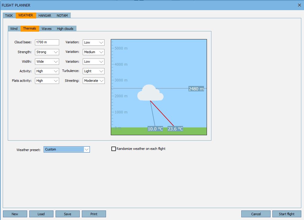
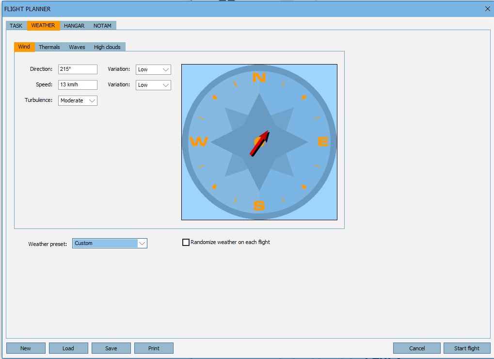
There will be a light wind out of the southwest. Direction and strength will hardly change. There is no notable wind at altitude, which means thermaling will be easy up to cloud base with minimal wind shear. There will be no wave effects (no wave lift or sink, no rotors).
On the first leg of the flight you may find lift from a combination of ridge lift and valley-breeze effects when you fly close to the sun-facing mountain slopes on the north side of the valley. (When the sun hits the slope, the air will stream up alongside the slope. The steeper the slope, the greater this effect.) You can only take advantage of this by flying relatively close to the rocks, however – so be careful not to hit anything!
As you head from TP1 to TP2 expect some minor lee-side sink as you cross the valley and approach the high terrain. The lower you are to the ground, the more noticeable this effect can be.
Remember we’re here to practice and learn. If you get low and don’t know where to find lift, don’t hesitate to press “H” to turn on the thermal helpers. If you land out (or even if you crash), you can press Q to repair your plane on the fly and regain altitude.
That’s it. Good Luck and have fun!
If you want to practice this flight, you can download the flight plan here.