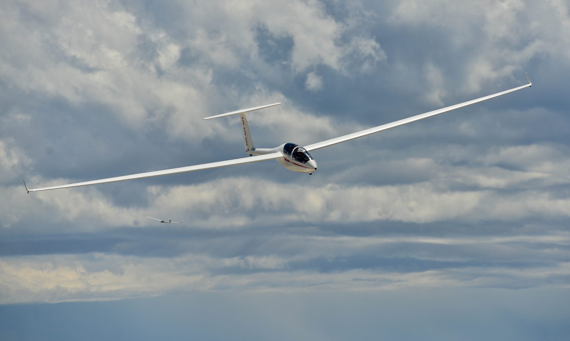
In February 2019, AeroClub Albatross hosted a seminar series called “Soaring with the Champions”. Below is the YouTube link to a talk by Mike Opitz entitled “Convergence Soaring” and a summary of the key takeaways.
Convergence Soaring – Mike Opitz
Convergence lines not only boost the strength of lift by approx. 2-3 kts, they can help you get to the finish when others land out.
Convergences are places where different airmasses meet. That can have different origins, e.g.:
- Fronts
- Airflow induced by thermals breaking off mountings (Valley Breeze) and pulling in air from a different airmass (e.g. flatlands surrounding the mountains)
- Rising air in the middle of a valley at the end of a thermal day as descending aid flows down the slopes of the mountains on either side of the valley
- Sea breeze flowing inland during the day being pulled from the sea as thermals rise over the landmass
The air on one side of the convergence can have a completely different look and feel than on the other side, or the differences can be very subtle and difficult to spot.
As an example of a convergence along a cold front, Mike recalls his first convergence experience heading towards the front:
-
- Visibility dropped dramatically from 70 miles down to 3
- Cloud bases dropped from 7,500 to 4,500
- Lift dropped from 5-6 kts down to 2-3 kts
- TP was 10 miles into the bad air
- People didn’t realize the front for what it was
- Once I got back out in the clear, I was the only one left with water and won
Example of a typical origin of convergences in mountainous terrain (from book Segeln über den Alpen – Jochen von Kalkreuth)
-
- Sun shines perpendicular onto exposed slopes in the morning, heating them faster than the flat land
- Air clings to slope in thin sheet as it rises, warming and accelerating in speed as it moves up along the warm rocks
- When it gets to the top of the ridge it has had a lot of opportunity to heat up: that’s why thermals breaking off from a ridge line will be stronger than thermals rising over flat land
- This works best on steep rocky slopes that can heat up well and where air can glide upwards; it does not work as well in forested terrain. (For leafy forests it can work well in the spring before the trees have leaves. Leaves reflect a lot of the sunshine and warming will take much longer)
- As thermals break off the peaks, it has to be replaced with air from the valleys; air from the valleys gets pulled in and valley breeze is generated
- Over the course of the day air in the mountains, the air often gets hazier because smoggy (editorial comment: and often more humid) air is sucked in from the industrialized flatlands. The outer valleys get penetrated first before air can stream over mountain passes into higher lying valleys. Result: differences in air quality, but also: differences in thermal strength and big differences in the height of cloud bases from one valley to another – where the air masses meet is a convergence
- Mountain systems everywhere must suck in air from somewhere; In the NE eg from the Hudson Valley or from the Atlantic
Flying in Convergence Lift:
-
- Look for convergence clouds, often recognizable by tendrils hanging down and by different cloud bases. Fly below the upper shelf of the cloud (where the cloud base is higher)
- Often the signs are much more subtle. E.g. on blue days watch different visibility. The lift on the clear air side will be better and higher
- Lift under a convergence line will line often be enhanced by 2-3 kts

