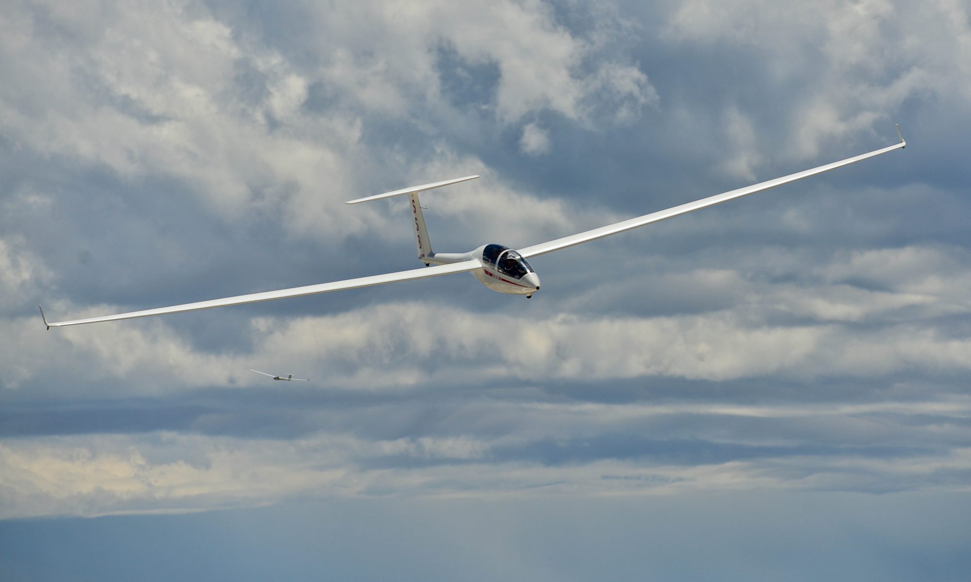
I started to research outlanding fields along the Northern Colorado Front Range, specifically between Boulder, CO and Laramie, WY.
In evaluating the fields, I used these criteria. For each of the fields I included the following information:
- A comprehensive field evaluation using my criteria
- A satellite view of landmarks to make it easier to find the field from the air
- A satellite view of the best approach(es) to each respective field
- A ground view that illustrates what I saw on the date of my visit to the field
Note: I compiled this information for myself. You must not rely on it. Before you use it for any purpose whatsoever, you must read this disclaimer.
Click here for an overview of the outlanding fields I have researched on the ground.
These fields as well as many others that I have only researched via Google Maps are included in my Boulder 250 sm Soaring Map, which you can find here.

