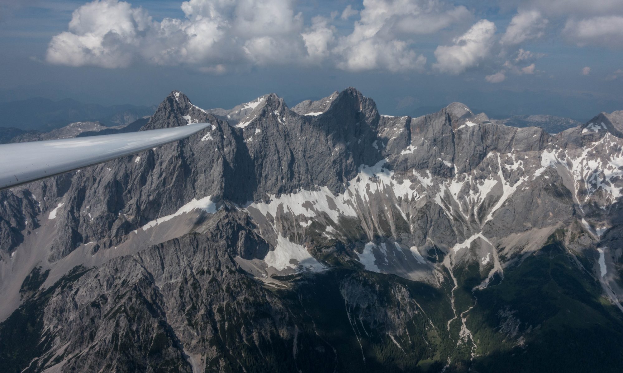
Yesterday was a glorious day for wave soaring along the Colorado Front Range. But first I had to get there. Almost every wave flight in Boulder begins with a climb in the wave’s rotor… which is always a piece of work and not for anyone who’s just out for a pleasure cruise.
As I climbed behind the tow plane – we had barely reached 1,700 AGL ft – all of a sudden, the tow plane shot straight up into the sky. From my glider cockpit’s perspective it looked like I had instantly dropped down to the low tow position. But I did’t try to correct it for I knew what was about to happen. And sure enough: two seconds later I felt a huge bump from below and my high tow position was restored on it’s own without any control inputs.
After a quick look to the right I pulled the release. Two turns later I had already climbed 1,500 feet off tow. What an elevator ride! The oxygen system started peeping, confirming my rocket-like ascent. Why hadn’t I put the cannula on before taking off? When I reached for it I noticed the extent of my mistake: when I closed the canopy before taking off, I had trapped the cannula’s tube between the canopy and the fuselage. There was no way to get it out. Bummer! You really can’t go on a wave flight without oxygen. So, just a few minutes into the flight and on a fast track up into the wave I was left with nothing else to do but to put the gear back down and pull the spoilers out. Three minutes later I was back on the ground. I grabbed a new cannula, and took another tow…
I asked the tow pilot to take me to the same spot where I released in anticipation of another rocket climb. However, this time, climbing off tow wasn’t nearly as easy. I hit some big sink and dropped down to 2,000 AGL. Time to pay attention! This close to the ground, strong lift and strong sink were in very close proximity to one another. The vario flipped back and forth between max climb and max sink indications, and I had to bank about 50 degrees to get a positive average climb rate. To make matters more challenging, the position of lift and sink changed constantly. After some experimenting, I eventually found a reasonable spot to climb in. The higher I got, the more consistent the lift became and my climb rate improved.
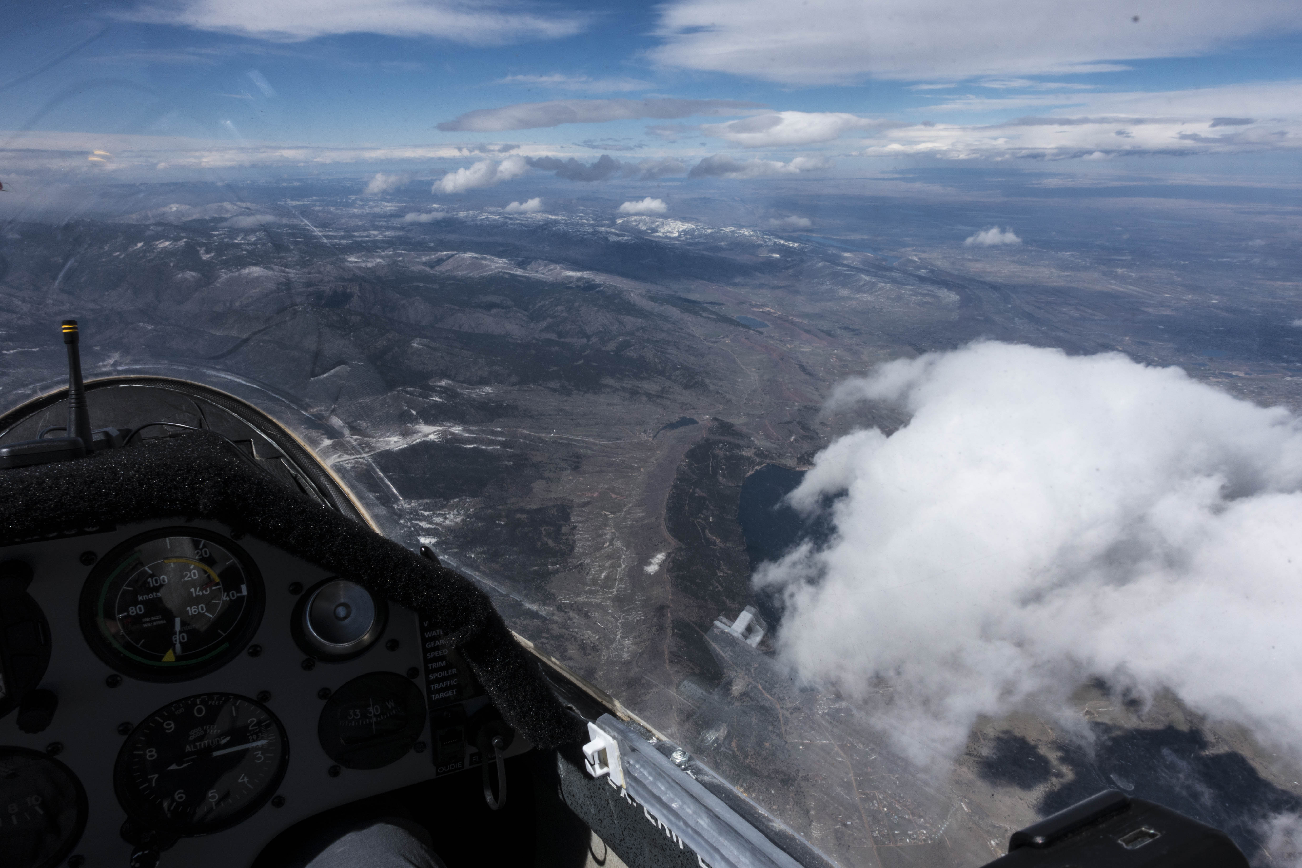
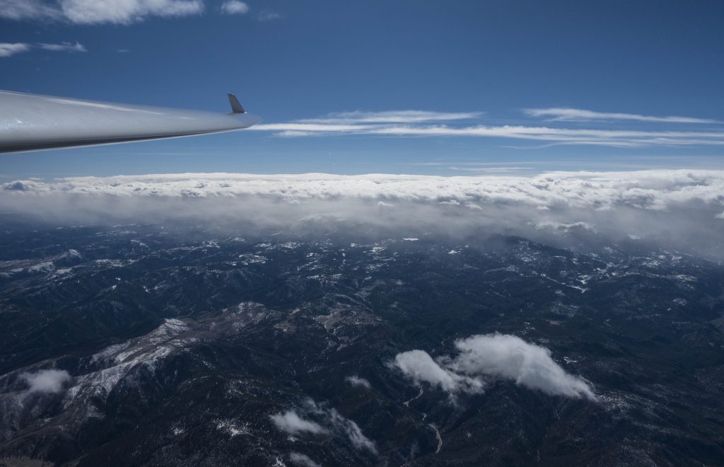
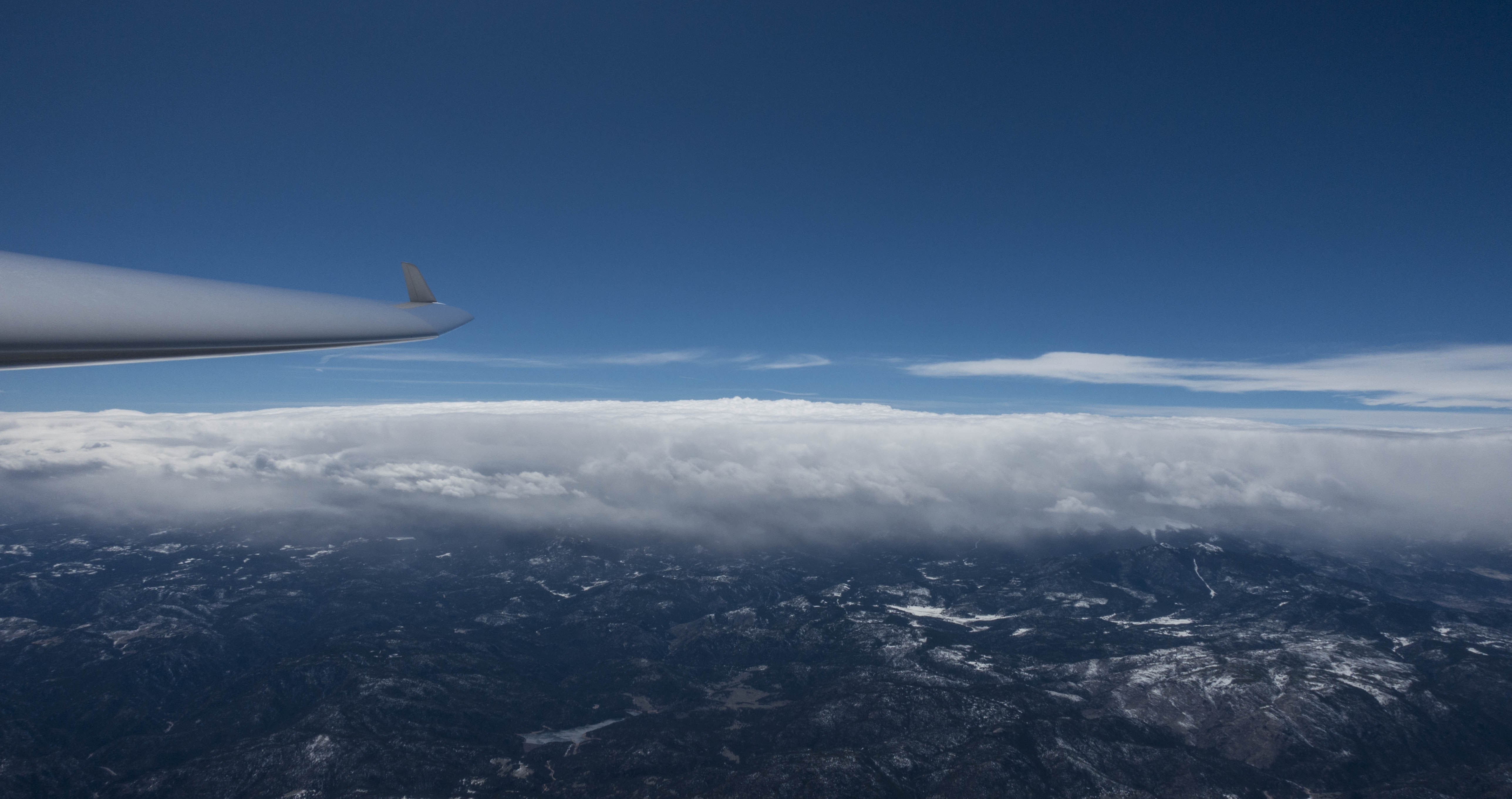
At about 14,000 MSL I got into weak laminar lift and was able to relax. I pointed the nose into the wind, noticed that I was barely moving forward relative to the ground. Occasionally I looked back over my shoulder to watch the developing rotor clouds behind the plane. More than one glider pilot before me got “swallowed” up by the clouds as their glider drifted backwards. I knew I had to be careful so this would not happen to me. Gradually I gained another 3,000 feet and the rotor clouds were finally below me. The hard part was over and it was finally time to cover some ground!
With the wind blowing at about 30-40 kts I knew I had to fly fast if I wanted to get anywhere for a significant portion of my airspeed would be used up just to avoid drifting off with the wind.
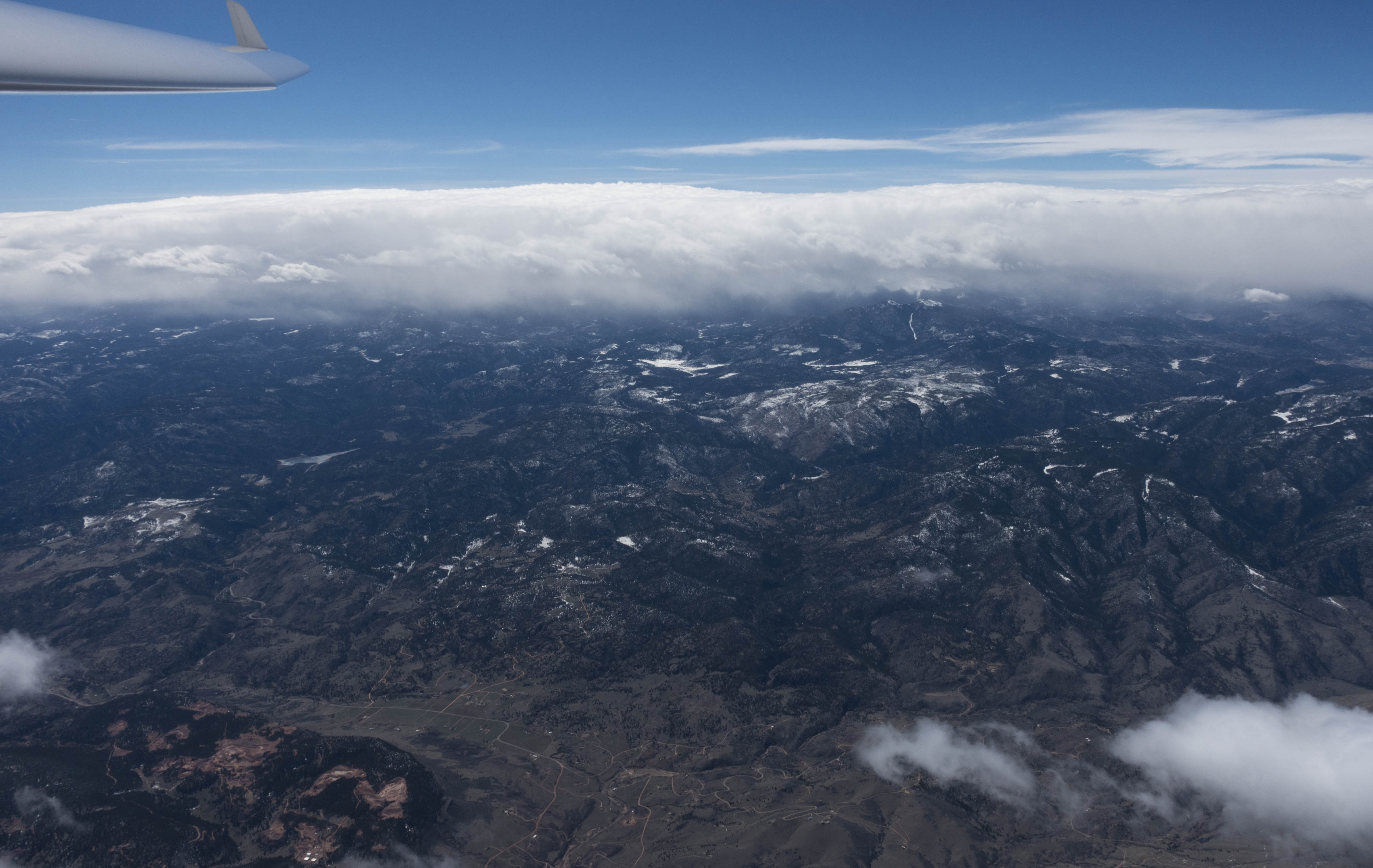
Unlike on some of my prior wave flights, there was no continuous line of rotor clouds. However, many smaller, individual clouds were sprinkled about the sky below. There were enough of them and in sufficiently regular intervals to easily work out the area where the best lift was likely to be.
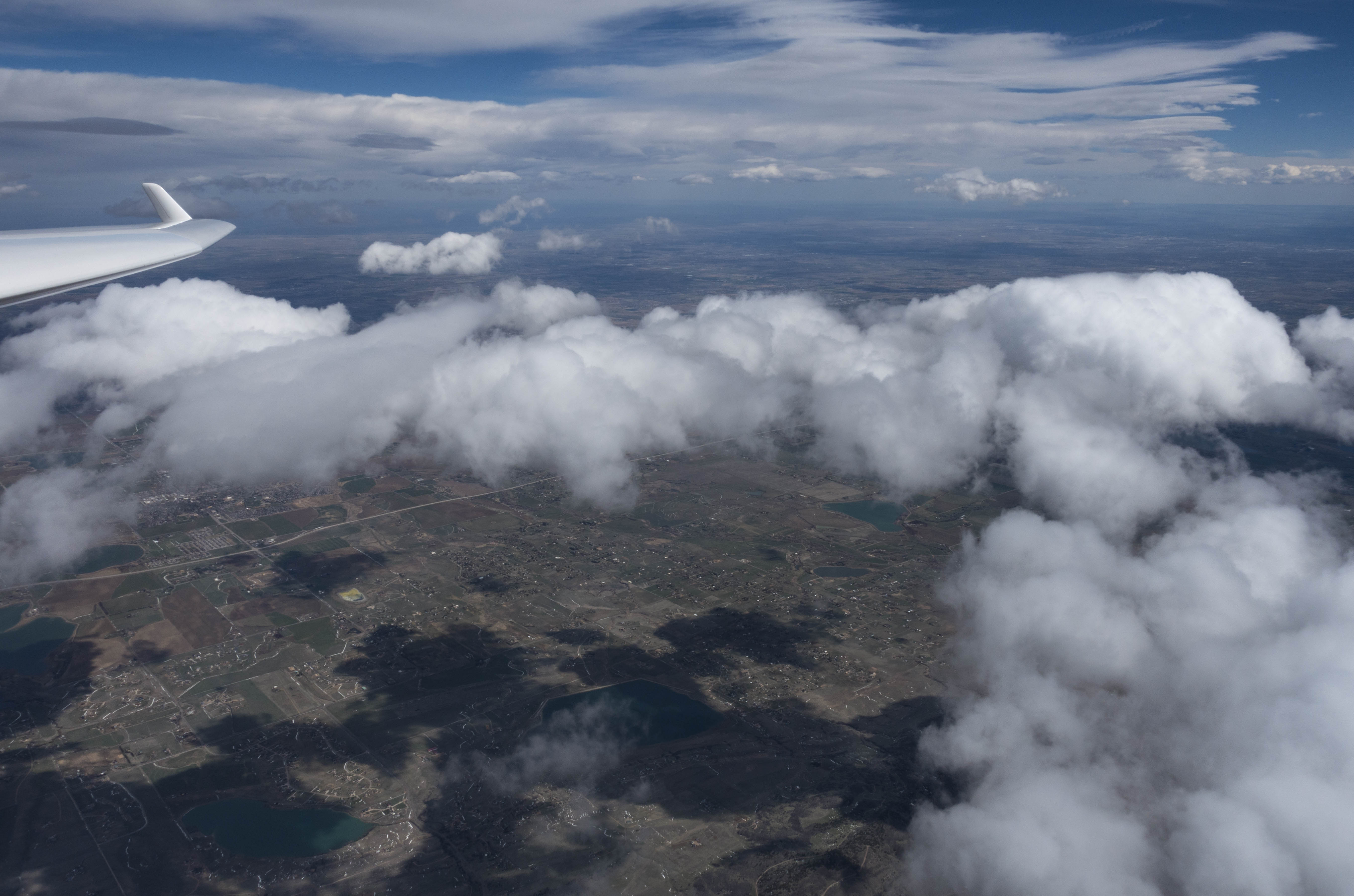
And so the surfing could start. Depending on the strength of lift I would adjust my airspeed. But unlike flying in thermal lift, where you pull up when the lift increases and you push down when the lift decreases, I would basically do the opposite: In strong lift I would push and fly faster to avoid getting close to Class A airspace. In weaker lift, I would pull back a little, to avoid dropping lower and possible getting back into the rotor zone. The sweet spot was clearly between 16,500 and 17,999 feet. High enough to stay clear of the rapidly developing rotor clouds and the associated turbulence below, and low enough to avoid busting into forbidden territory.
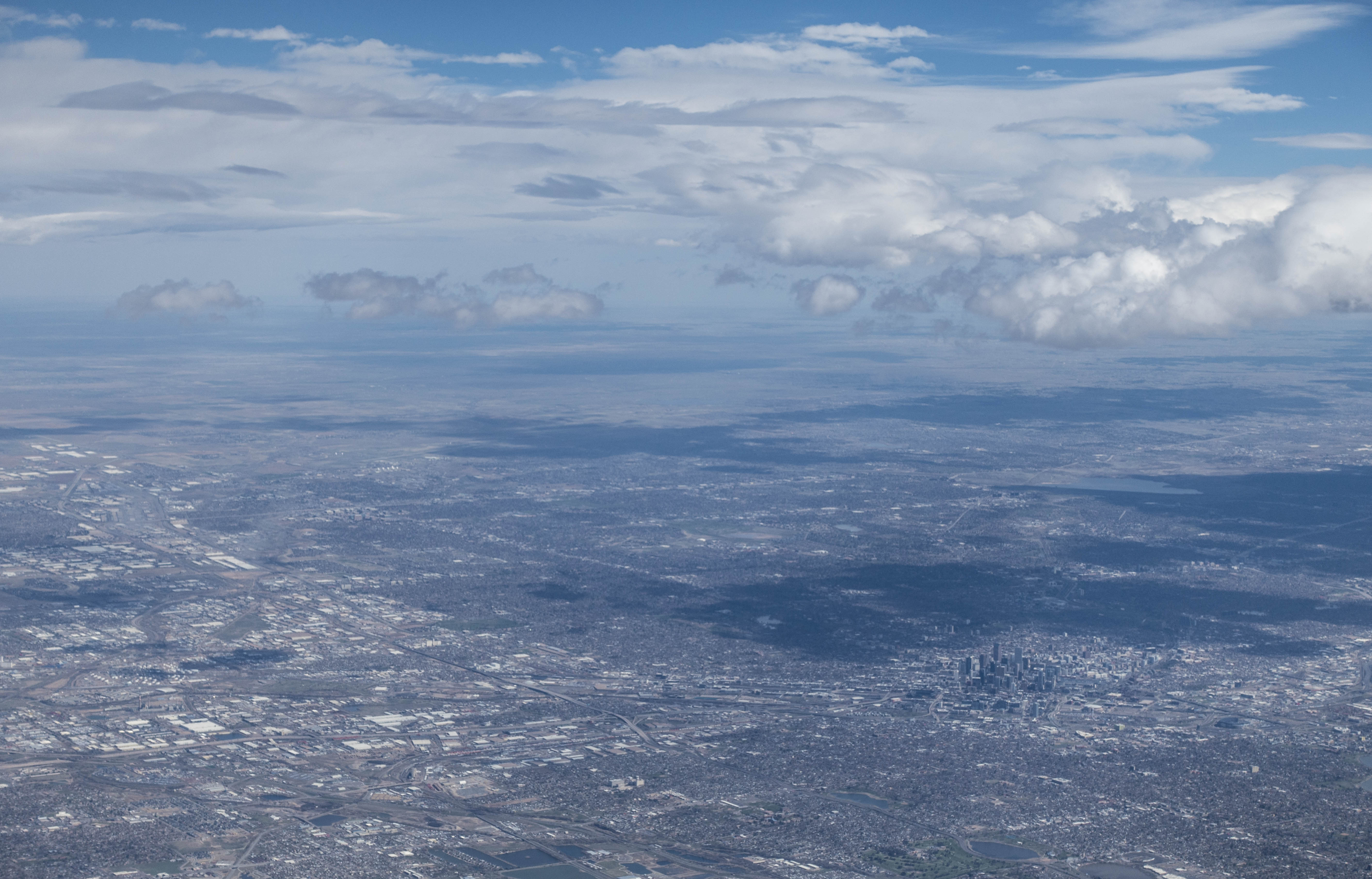
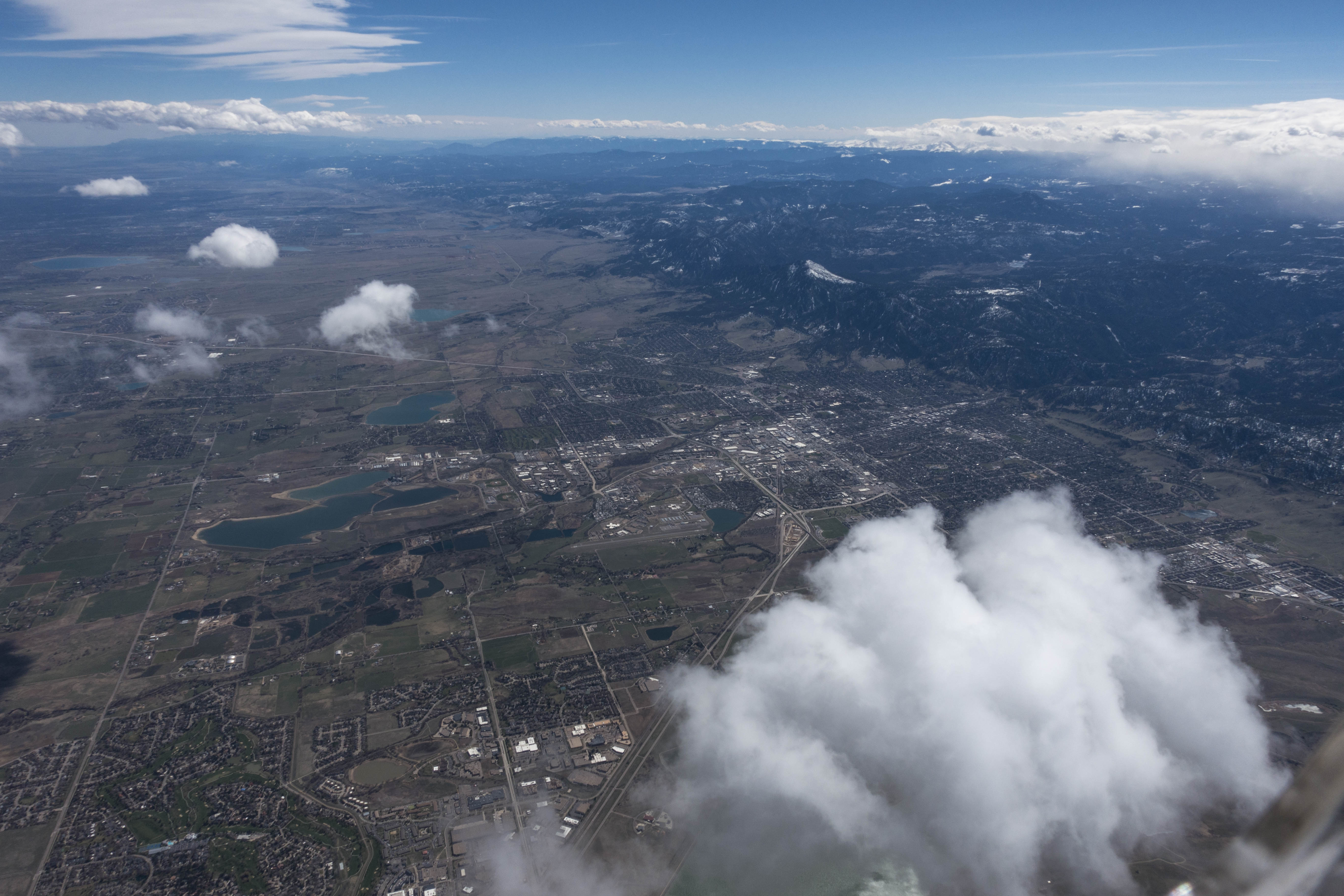
For the next hour and a half I flew up and down the front range between CO Rt 34 in the North and I-70 in the South. The strength of the lift varied between 2 and 10 kts.
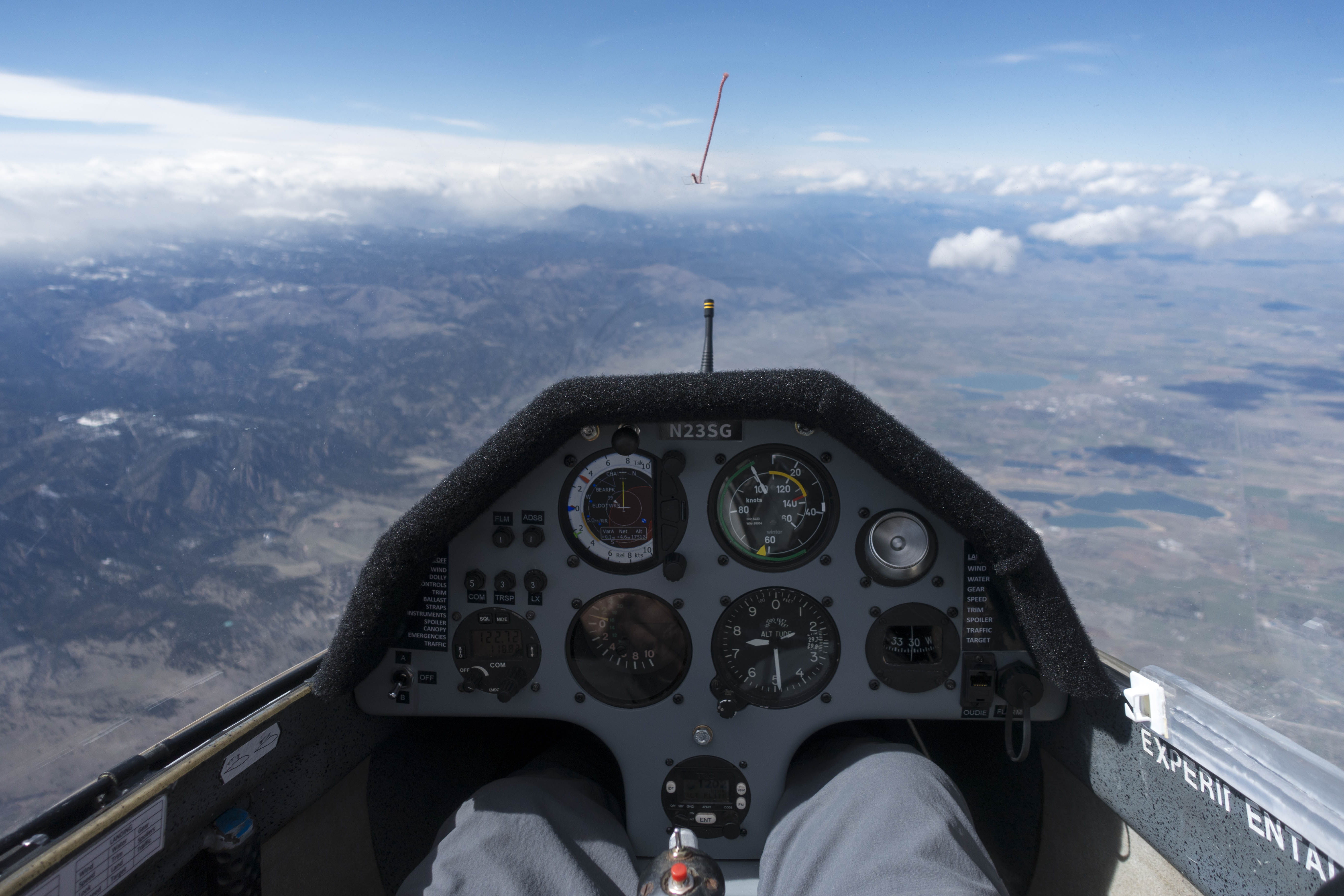
In exactly 1 hours and 30 minutes I covered 275km, that’s an average ground speed of 183 kph or 114 mph or 99 kts. I stayed between 16,300 and 17,800 feet for the entire time. Except for reversing directions at the northern and southern turn points I made not a single turn. My indicated airspeed was between 80 and 100 kts most of the time, only occasionally dropping a little lower – mainly to open the window and take pictures.
I had not remembered the exact VnE of the Discus at this altitude, and so I decided to err on the conservative side, keeping my indicated airspeed below 105 kts at all times. This meant that on several occasions I had to pull the spoilers to prevent the ship from climbing above 18,000 feet. (I have since checked the operating handbook and my actual VnE at this altitude would have been 124 kts.)
There was a lot of commercial air traffic in and out of Denver International at my altitude. It was very comforting to know that the ship is equipped with a transponder and ADSB out so ATC was aware of my position and heading at all times. The screen of the S100 showed me the other aircraft in the sky, usually well before I could spot them myself. The color coding was very useful as well, so I could see whether to look for other traffic above or below.
Visibility was absolutely perfect for the entire flight and the excellent wave conditions reached to the horizon to the north and the south as far as the eye could see. I have no doubt that it would have been possible to continue the speed run north to the Wyoming border, and south all the way to Pikes Peak.
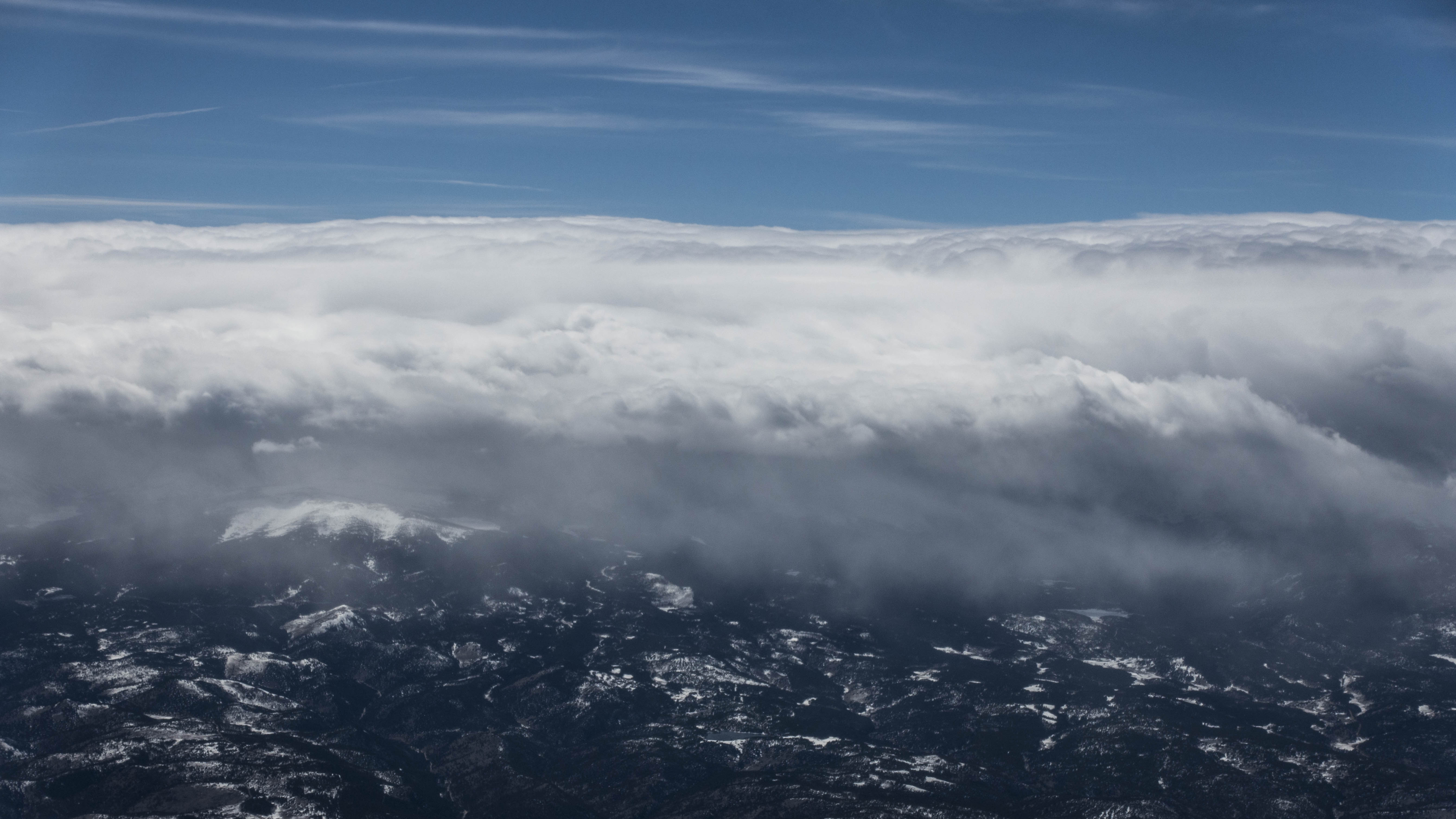
Unfortunately I wasn’t very well dressed for this altitude. Once the sun was blocked by a lenticular cloud layer far above it got really cold very fast. That’s when I decided to cut the flight short and come back down to land.
Before leaving the laminar layer on the descent I made sure to secure my camera and any other loose objects in the side pockets and I retightened all my belts. I slowed down to below 80 kts to minimize getting knocked around too badly once I would re-enter the rotor zone, and I kept away from the proximity of rotor clouds where the most severe turbulence is usually found.
I don’t know if it was due to my precautions or if I simply got lucky but ultimately my re-entry into the rotor zone wasn’t nearly as bad as I experienced it before.
AWOS told me the wind on the ground had turned west as well and was blowing at 20 kts gusting to 28. The wind sock suggested a slight northerly cross wind component. I landed on Glider 26, making sure the touchdown was before the line of trees that could add some unpleasant turbulence. The ship rolled nicely all the way to its tie down spot.
The flight track is here.
Lessons Learned
- Don’t squeeze the cannula! I need to make it a habit to put the cannula on before launching. It’s easy to do in flight, but this will prevent me from closing the canopy and squeezing the cannula tube between the canopy and the fuselage.
- Know the VnE at altitude. Our club’s Discus’s VnE at 18,000 MSL is 124 kts. I could have flown a bit faster instead of opening the spoilers. (As long as I’m well clear of any rotor turbulence and there is no rough air).
- Dress more warmly for wave. Especially the feet and legs get cold in the shade below the glare shield. And especially when flying fast.
Delightful! Thanks for taking the time to share your flight.